Near Aberdeen in Harford County, Maryland — The American Northeast (Mid-Atlantic)
Colony of Maryland
1634–1776
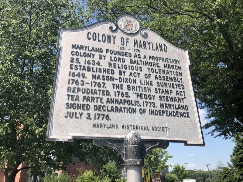
Erected 1964 by Maryland Historical Society.
Topics and series. This historical marker is listed in these topic lists: Colonial Era • Religion & Religious Structures • Settlements & Settlers • War, US Revolutionary. In addition, it is included in the Maryland Historical Trust series list. A significant historical date for this entry is March 25, 1862.
Location. 39° 29.815′ N, 76° 13.933′ W. Marker is near Aberdeen, Maryland, in Harford County. It can be reached from John F. Kennedy Memorial Highway (Interstate 95) north of Maryland Route 543, in the median. At the Maryland House highway rest stop in the median. Touch for map. Marker is in this post office area: Aberdeen MD 21001, United States of America. Touch for directions.

Regionally, this marker is in the Baltimore Metro Region and in Central
this page online
Other nearby markers. At least 8 other markers are within 3 miles of this marker, measured as the crow flies: "O! say can you see…" (within shouting distance of this marker); State of Maryland (within shouting distance of this marker); Sophia’s Dairy (approx. 1.7 miles away); Spesutia Church (approx. 2.2 miles away); Spesutia P. E. Church (approx. 2.3 miles away); This Tablet (approx. 2.4 miles away); "The Bush Declaration" (approx. 2.4 miles away); Harford Town (approx. 2.6 miles away). Touch for a list and map of all markers in Aberdeen.
Another marker is no longer nearby. Explore the Chesapeake (was within shouting distance of this marker but has been confirmed missing).
Also see . . .
1. Colonial Maryland. (Submitted on January 14, 2006.)
2. The Planting of the Colony of Maryland.
circa October 2005
2. Colony of Maryland Marker
3. Lord Baltimore. (Submitted on January 14, 2006.)
4. The Burning of the Peggy Stewart. (1896) by Francis Blackwell Mayer (1827-1899) (Submitted on January 14, 2006.)
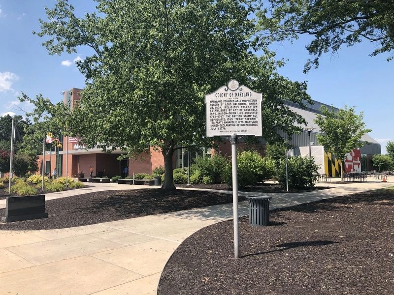
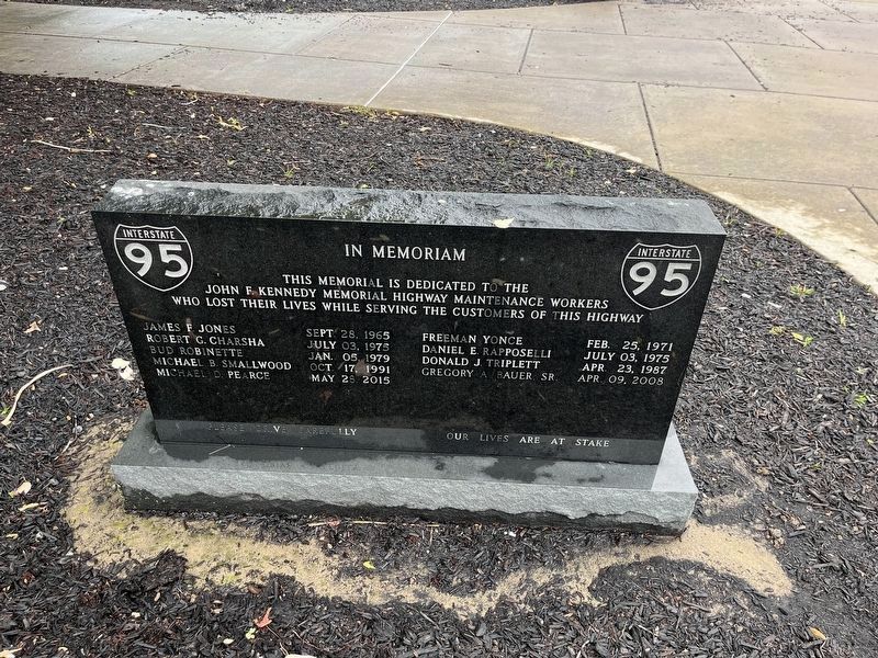
September 18, 2005
5. State of Maryland and Colony Of Maryland Markers
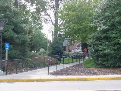
The Colony of Maryland marker is in the distance, to the left of the flags, at the original Maryland House, now replaced.

6. Present Flag of the State of Maryland
The flag is quartered, with Cecil Calvert, second Baron Baltimore’s, paternal heraldic colors (black and gold) in two opposing quadrants, and his mother’s (Alicia Crossland's) red and white coat of arms in the other two. Cecil’s father George (1580-1632) sought the charter for the Province of Maryland but died before it was sealed. His brother Leonard (1606-1647) was Maryland’s first colonial governor (1634-1647).
Credits. This page was last revised on June 9, 2026. It was originally submitted on November 9, 2005, by J. J. Prats of Powell, Ohio. This page has been viewed 5,841 times since then and 163 times this year. Last updated on March 21, 2021, by Bradley Owen of Morgantown, West Virginia. Photos: 1. submitted on July 29, 2020, by Devry Becker Jones of Washington, District of Columbia. 2. submitted on November 10, 2005. 3. submitted on July 29, 2020, by Devry Becker Jones of Washington, District of Columbia. 4. submitted on June 25, 2023, by Devry Becker Jones of Washington, District of Columbia. 5. submitted on December 22, 2005. 6. submitted on March 20, 2021, by J. J. Prats of Powell, Ohio. • Bill Pfingsten was the editor who published this page.
