Rock Creek Park in Northwest Washington in Washington, District of Columbia — The American Northeast (Mid-Atlantic)
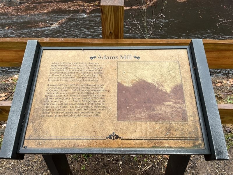
Adams Mill
Adams Mill, a flour mill built by Benjamin Stoddert between 1795 and 1799, was one of eight large mills along Rock Creek Park. Originally it was named Columbian Mill in honor of the newly created District of Columbia. The brick mill was 50 × 54 feet and four stories high. Its five pairs of millstones were powered by a breast-shot waterwheel 16 feet in diameter.
Between 1800 and 1809, the mill changed hands several times before coming into the possession of George Johnson. Under Johnson's management the operation failed and was threatened with foreclosure in 1823. Johnson turned to his distant relative, John Quincy Adams, for help. Thus the mill became known as Adams Mill because of the association of the newly elected sixth President of the United States. The mill continued operating as part of Johnson's estate until 1867 when it was closed because of increasing competition from the larger, more profitable mid-western mills.
Topics and series. This historical marker is listed in these topic lists: Industry & Commerce • Waterways & Vessels. In addition, it is included in the Former U.S. Presidents: #06 John Quincy Adams series list. A significant historical year for this entry is 1795.
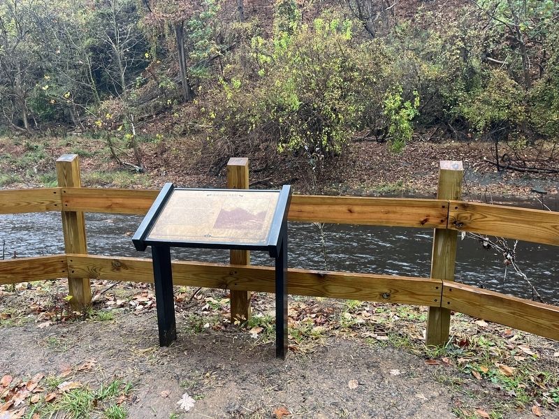
Location. 38° 55.604′ N, 77° 2.971′ W. Marker is in Northwest Washington in Washington , District of Columbia. It is in Rock Creek Park. Touch for map. Marker is in this post office area: Washington DC 20008, United States of America. Touch for directions.
Other nearby markers. At least 8 other markers are within walking distance of this marker. Herring Highway (about 300 feet away, measured in a direct line); Million Dollar Bridge (about 700 feet away); Olmsted Walk (approx. 0.2 miles away); Easter Monday (approx. 0.2 miles away); Prairie Dogs (approx. 0.2 miles away); How to Drink Coffee and Save Birds (approx. 0.2 miles away); Pelicans in Peril (approx. 0.2 miles away); Lions and Tigers (approx. 0.2 miles away). Touch for a list and map of all markers in Northwest Washington.
Credits. This page was last revised on January 30, 2023. It was originally submitted on November 11, 2022, by Devry Becker Jones of Washington, District of Columbia. This page has been viewed 194 times since then and 56 times this year. Photos: 1, 2. submitted on November 11, 2022, by Devry Becker Jones of Washington, District of Columbia.

