Near Davis in Tucker County, West Virginia — The American South (Appalachia)
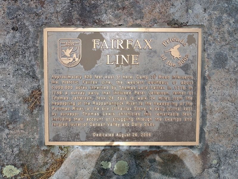
Fairfax Line
Erected 2006 by U.S Fish & Wildlife Service; Friends of the 500th.
Topics. This historical marker is listed in these topic lists: Arts, Letters, Music • Colonial Era • Exploration • Notable Places • Waterways & Vessels. A significant historical date for this entry is August 26, 2006.
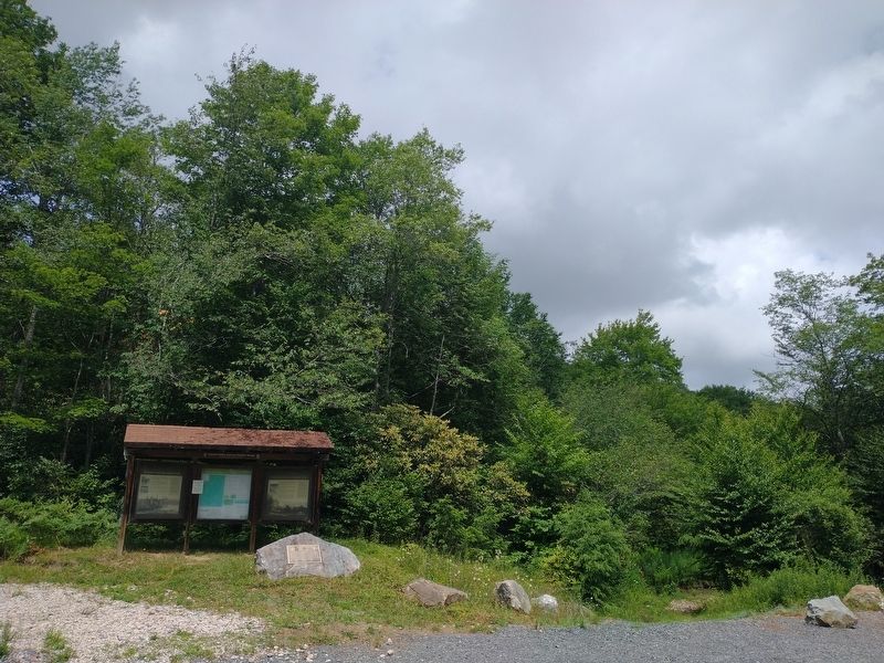
Location. 39° 8.148′ N, 79° 24.317′ W. Marker is near Davis, West Virginia, in Tucker County. Marker is at the intersection of Camp 70 Road and Brown Mountain Trail, on the left when traveling east on Camp 70 Road. Touch for map. Marker is in this post office area: Davis WV 26260, United States of America. Touch for directions.
Other nearby markers. At least 8 other markers are within 4 miles of this marker, measured as the crow flies. Changing Landscapes, Changing Values (here, next to this marker); Numbered Camps with Numbered Days (here, next to this marker); Canaan Spruce Plantation (approx. 3.1 miles away); Myrtle Mae (Hockman) Shrader (approx. 3.2 miles away); Inside The Sawmill (approx. 3.2 miles away); From Forest To Sawmill (approx. 3.2 miles away); Verzi's Saloon (approx. 3.2 miles away); A Growing And Evolving Industry On The Riverbanks (approx. 3.2 miles away). Touch for a list and map of all markers in Davis.
Also see . . . History of the Fairfax Line. (Submitted on November 11, 2022, by Tom Bosse of Jefferson City, Tennessee.)
Credits. This page was last revised on November 13, 2022. It was originally submitted on November 11, 2022, by Tom Bosse of Jefferson City, Tennessee. This page has been viewed 74 times since then and 14 times this year. Photos: 1, 2. submitted on November 11, 2022, by Tom Bosse of Jefferson City, Tennessee. • Devry Becker Jones was the editor who published this page.

