Hickory in Catawba County, North Carolina — The American South (South Atlantic)
Forest for Everyone
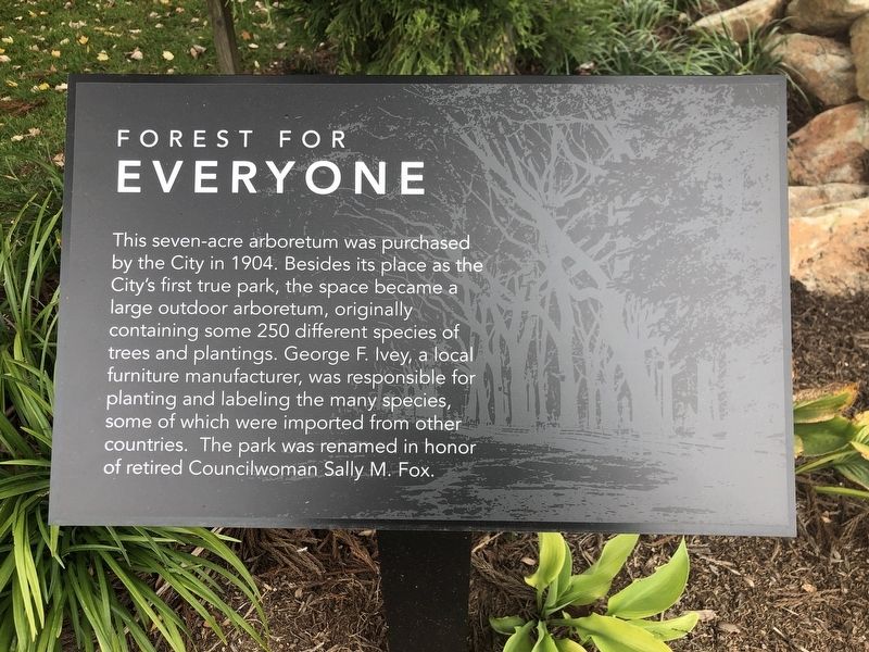
Photographed by Duane and Tracy Marsteller, October 29, 2022
1. Forest for Everyone Marker
Topics. This historical marker is listed in this topic list: Parks & Recreational Areas. A significant historical year for this entry is 1904.
Location. 35° 43.981′ N, 81° 19.993′ W. Marker is in Hickory, North Carolina, in Catawba County. It is at the intersection of Main Avenue Northeast and 1st Avenue Northeast, on the right when traveling west on Main Avenue Northeast. Marker is on the Hickory City Walk Trail. Touch for map. Marker is in this post office area: Hickory NC 28601, United States of America. Touch for directions.

Regionally, this marker is in North Carolina’s Piedmont. It is also in the American South and specifically in the Upper South. Globally, it
this page online
Other nearby markers. At least 8 other markers are within walking distance of this marker: Corinth Church Parsonage (within shouting distance of this marker); Calvin R. Warlick House (about 600 feet away, measured in a direct line); Murphy-McFarland House (about 700 feet away); Donald S. Menzies House (about 700 feet away); Marshall R. Wagner House (about 700 feet away); David M. McComb House (about 800 feet away); Albert L. Berry House (approx. 0.2 miles away); Robert W. McComb House (approx. 0.2 miles away). Touch for a list and map of all markers in Hickory.
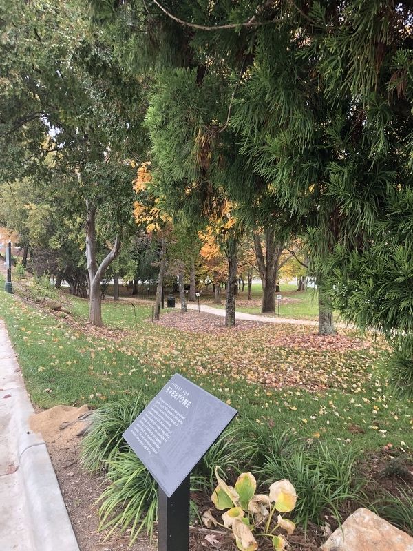
Photographed by Duane and Tracy Marsteller, October 29, 2022
2. Forest for Everyone Marker
Credits. This page was last revised on November 14, 2022. It was originally submitted on November 14, 2022, by Duane and Tracy Marsteller of Murfreesboro, Tennessee. This page has been viewed 212 times since then and 18 times this year. Photos: 1, 2. submitted on November 14, 2022, by Duane and Tracy Marsteller of Murfreesboro, Tennessee.
