Ridgecrest in Pinellas County, Florida — The American South (South Atlantic)
Dansville
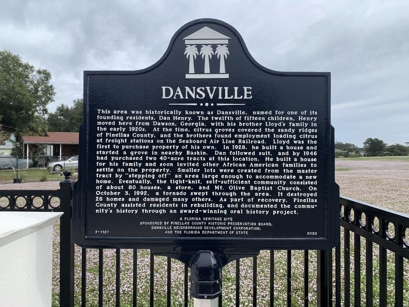
Photographed by Tim Fillmon, November 15, 2022
1. Dansville Marker
this page online
Erected 2020 by Pinellas County Historic Preservation Board, Dansville Neighborhood Development Corporation, and the Florida Department of State. (Marker Number F-1127.)
Topics. This historical marker is listed in these topic lists: African Americans • Agriculture • Settlements & Settlers. A significant historical year for this entry is 1928.
Location. 27° 53.483′ N, 82° 48.949′ W. Marker is in Ridgecrest, Florida, in Pinellas County. It is at the intersection of Wilcox Road and Pine Street, on the right when traveling west on Wilcox Road. Touch for map. Marker is in this post office area: Largo FL 33774, United States of America. Touch for directions.

Regionally, this marker is on Florida’s Gulf Coast and on Tampa Bay. It is also in the American South and on the Gulf Coast. Globally, it is in the North Atlantic Region, North America, a Gulf of Mexico state, the Western Hemisphere, the Western World, and the Anglosphere. Historically, it finds itself in what was once New Spain, the territory of the Mississippian Culture, one of the Confederate
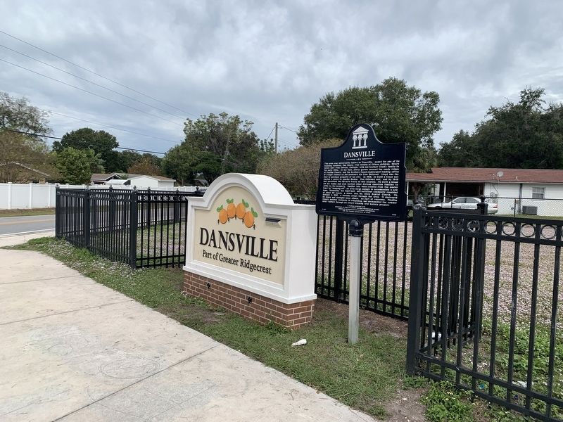
Photographed by Tim Fillmon, November 15, 2022
2. Dansville Marker
Looking northwest
Other nearby markers. At least 8 other markers are within walking distance of this marker: Gandy Bridge Tower (approx. 0.6 miles away); Fire Engine (approx. 0.7 miles away); Walsingham House (approx. 0.7 miles away); McMullen House (approx. 0.7 miles away); H.C. Smith Store (approx. 0.7 miles away); Moore House (approx. 0.7 miles away); Outhouses (approx. 0.7 miles away); Caboose (approx. 0.7 miles away).
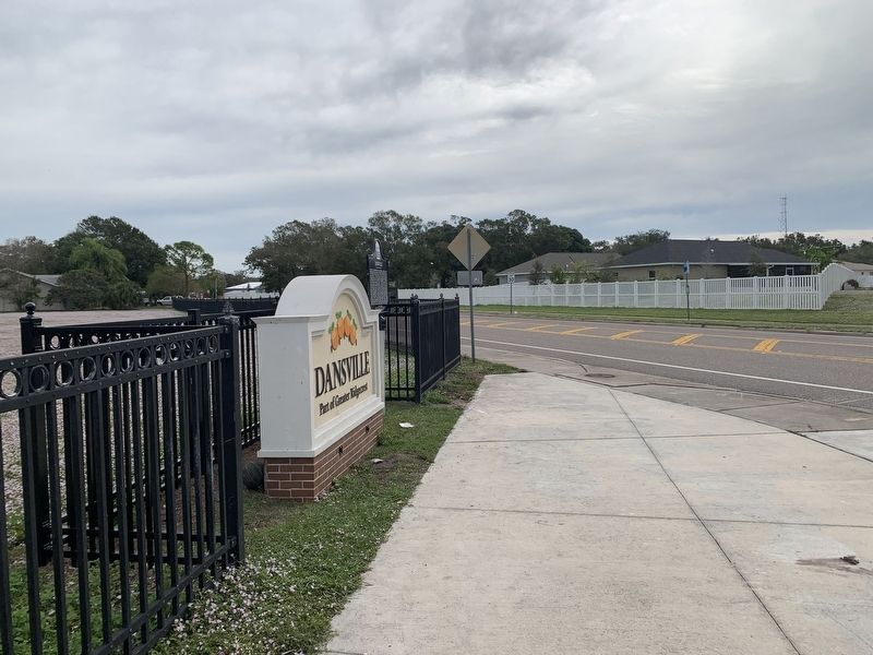
Photographed by Tim Fillmon, November 15, 2022
3. Dansville Marker
Looking southeast
Credits. This page was last revised on November 16, 2022. It was originally submitted on November 16, 2022, by Tim Fillmon of Webster, Florida. This page has been viewed 532 times since then and 51 times this year. Photos: 1, 2, 3. submitted on November 16, 2022, by Tim Fillmon of Webster, Florida.
