Bakersfield in Kern County, California — The American West (Pacific Coastal)
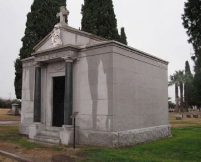
Pablo Galtes - Union Cemetery
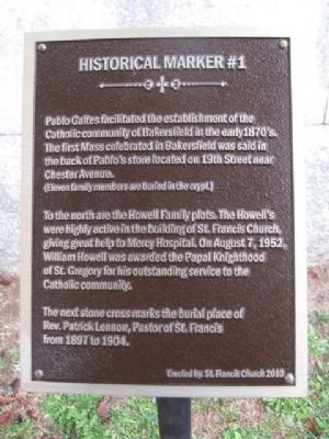
Historical Marker #1
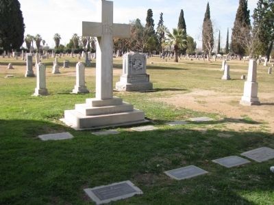
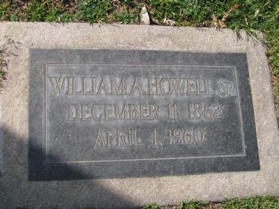
To the north are the Howell Family plots. The Howell's were highly active in the building of St. Francis Church, giving great help to Mercy Hospital. On August 7, 1952, William Howell was awarded the Papal Knighthood of St. Gregory for his outstanding service to the Catholic community.
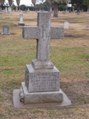
The next stone cross marks the burial place of Rev. Patrick Lennon, Paster of St. Francis from 1897 to 1904.
Erected 2010 by St. Francis Church. (Marker Number 1.)
Topics. This historical marker is listed in this topic list: Cemeteries & Burial Sites. A significant historical year for this entry is 1952.
Location. 35° 21.735′ N, 118° 59.785′ W. Marker is in Bakersfield, California, in Kern County. Marker can be reached from East Potomac Avenue west of South King Street, on the right when traveling east. Touch for map. Marker is at or near this postal address: 788 East Potomac Avenue, Bakersfield CA 93307, United States of America. Touch for directions.
Other nearby markers. At least 8 other markers are within 2 miles of this marker, measured as the crow flies. Captain Elisha Stephens (about 500 feet away, measured in a direct line); Eternal Flame (approx. 0.2 miles away); Don José Jesús (J. J.) Lopez (approx. 0.2 miles away); Kern River Flour Mills (approx. 1.1 miles away); Site of Baker's Field (approx. 1.2 miles away); First Baptist Church (approx. 1.3 miles away); Kern County Vietnam War Memorial (approx. 1½ miles away); Colonel Thomas Baker (approx. 1½ miles away). Touch for a list and map of all markers in Bakersfield.
Credits. This page was last revised on November 29, 2022. It was originally submitted on February 12, 2012, by Denise Boose of Tehachapi, California. This page has been viewed 743 times since then and 24 times this year. Last updated on November 17, 2022, by Carl Gordon Moore Jr. of North East, Maryland. Photos: 1, 2, 3, 4. submitted on February 12, 2012, by Denise Boose of Tehachapi, California. 5, 6. submitted on February 17, 2012, by Denise Boose of Tehachapi, California. • Syd Whittle was the editor who published this page.
