Richmond in Madison County, Kentucky — The American South (East South Central)
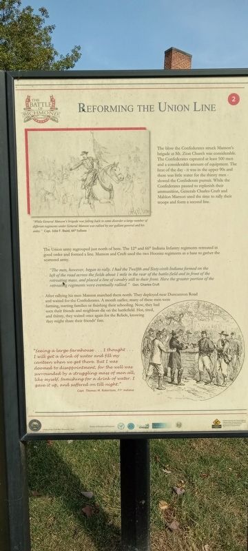
Reforming The Union Line
The Battle of Richmond, Kentucky
Photographed by Craig Doda, November 10, 2022
1. Reforming The Union Line Marker
The Union army regrouped just north of here. The 12th and 66th Indiana Infantry regiments retreated in good order and formed a line. Manson and Cruft used the two Hoosier regiments as a base to gather the scattered army.
"The men, however, began to rally. I had the Twelfth and Sixty-sixth Indiana formed on the left of the road across the fields about 1 mile in the rear of the battle-field and in front of the retreating mass, and placed a line of cavalry still to their front. Here the greater portion of the retreating regiments were eventually rallied.” Gen. Charles Cruft
After rallying his men Manson marched them north. They deployed near Duncannon Road and waited for the Confederates. A month earlier, many of these men were farming, starting families or finishing their schooling. Now, they had seen their friends and neighbors die on the battlefield. Hot, tired, and thirsty, they waited once again for the Rebels, knowing they might share their friends' fate.
"While General Manson's brigade was falling back in some disorder a large number of different regiments under General Manson was rallied by our gallant general and his aides.” Capt. John F. Baird, 66 Indiana
"Seeing a large farmhouse... I thought... I will get a drink of water and fill my canteen when we get there. But I was doomed to disappointment, for the well
this page online
Capt. Thomas M. Robertson, 71” Indiana (Marker Number 2.)
Topics. This historical marker is listed in this topic list: War, US Civil. A significant historical month for this entry is August 1892.
Location. 37° 41.058′ N, 84° 15.484′ W. Marker is in Richmond, Kentucky, in Madison County. It is on Battlefield Memorial Highway, on the right when traveling north. Touch for map. Marker is at or near this postal address: 101 Battlefield Memorial Hwy, Richmond KY 40475, United States of America. Touch for directions.

Regionally, this marker is in the American South, specifically in the Upper South, in Appalachia, and specifically in Southern Appalachia. Globally, it is in North America, the Western Hemisphere, the Western World, and the Anglosphere. Historically, it finds itself in what was once the territory of the Mississippian Culture and also the Antebellum South.
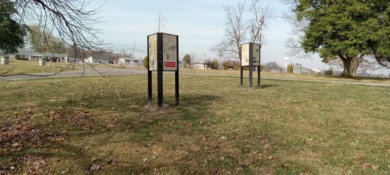
Other nearby markers. At least 8 other markers are within walking distance of this marker: An Inexperienced Army (here, next to this marker);
Photographed by Craig Doda, November 10, 2022
2. Reforming The Union Line Marker
Credits. This page was last revised on November 21, 2022. It was originally submitted on November 18, 2022, by Craig Doda of Napoleon, Ohio. This page has been viewed 241 times since then and 33 times this year. Photos: 1, 2. submitted on November 18, 2022, by Craig Doda of Napoleon, Ohio. • Bill Pfingsten was the editor who published this page.
