Tybee Island in Chatham County, Georgia — The American South (South Atlantic)
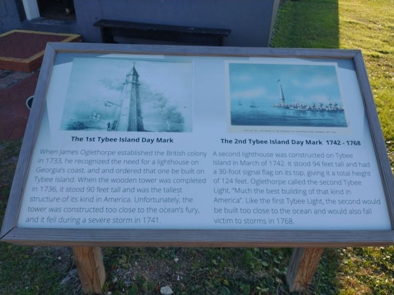
The 1st Tybee Island Day Mark • The 2nd Tybee Island Day Mark 1742-1768
Inscription.
The 1st Tybee Island Day Mark
When James Oglethorpe established the British colony in 1733, he recognized the need for a lighthouse on Georgia's coast, and and ordered that one be built on Tybee Island. When the wooden tower was completed in 1736, it stood 90 feet tall and was the tallest structure of its kind in America. Unfortunately, the tower was constructed too close to the ocean's fury, and it fell during a severe storm in 1741.
The 2nd Tybee Island Day Mark 1742-1768
A second lighthouse was constructed on Tybee Island in March of 1742. It stood 94 feet tall and had a 30-foot signal flag on its top, giving it a total height of 124 feet. Oglethorpe called the second Tybee Light, "Much the best building of that kind in America". Like the first Tybee Light, the second would be built too close to the ocean and would also fall victim to storms in 1768.
Topics. This historical marker is listed in these topic lists: Architecture • Colonial Era • Waterways & Vessels. A significant historical month for this entry is March 1736.
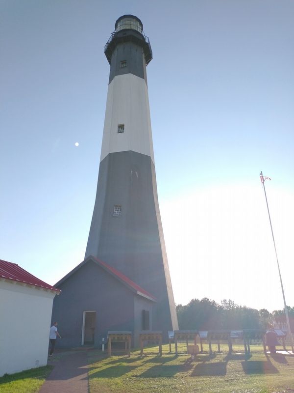
Location. 32° 1.34′ N, 80° 50.734′ W. Marker is on Tybee Island, Georgia, in Chatham County. Marker can be reached from Meddin Drive south of Taylor Street, on the right when traveling south. Located at the Tybee Island Light Station & Museum. Touch for map. Marker is at or near this postal address: 30 Meddin Dr, Tybee Island GA 31328, United States of America. Touch for directions.
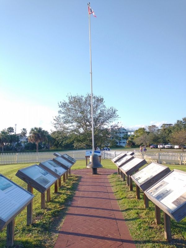
Other nearby markers. At least 8 other markers are within walking distance of this marker. The 3rd Tybee Island Day Mark Lighthouse 1773-1861 • Damage to the 3rd Tybee Lighthouse 1861 (here, next to this marker); Tybee Front Range Light • Front Range Light (here, next to this marker); Savannah River Light (here, next to this marker); The 3rd Tybee Lighthouse Survives Destruction (here, next to this marker); Journal of the Light-House Station (here, next to this marker); Fuel Storage Building 1890 (here, next to this marker); The 4th Tybee Island Lighthouse 1867-Present (here, next to this marker); Life at the Tybee Island Light Station (here, next to this marker). Touch for a list and map of all markers in Tybee Island.
Also see . . . Tybee Island Light Station & Museum. (Submitted on November 23, 2022.)
Credits. This page was last revised on November 23, 2022. It was originally submitted on November 18, 2022, by Craig Doda of Napoleon, Ohio. This page has been viewed 67 times since then and 19 times this year. Photos: 1, 2, 3. submitted on November 18, 2022, by Craig Doda of Napoleon, Ohio. • Bernard Fisher was the editor who published this page.


