Guntersville in Marshall County, Alabama — The American South (East South Central)
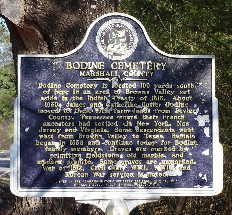
Bodine Cemetery
Marshall County
Bodine Cemetery is located 100 yards south of here in an area of Brown’s Valley set aside in the Indian Treaty of 1816. James and Catherine Butler Bodine moved to these rich farm lands from Sevier County, Tennessee where their French ancestors had steeled via New York, New Jersey and Virginia. Some descendants went west from Brown’s Valley to Texas. Burials began in 1836 and continue today for Bodine family members. Graves are marked by primitive fieldstone, old marble and modern granite. Some graves are unmarked. War of 1812, Civil War, WWI, WWII and Korean War service is noted.
Listed in the Alabama Historic Cemetery Register, July 12, 2010
Erected 2011 by Bodine descendants.
Topics. This historical marker is listed in these topic lists: Cemeteries & Burial Sites • Settlements & Settlers.
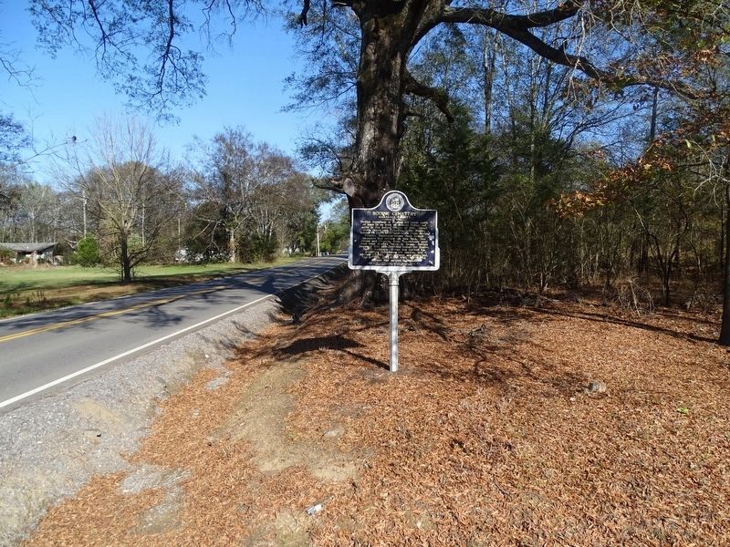
Location. 34° 17.865′ N, 86° 22.106′ W. Marker is in Guntersville, Alabama, in Marshall County. Marker is at the intersection of Browns Valley Road and Robert Circle, on the right when traveling north on Browns Valley Road. The Bodine Cemetery Marshall County historical marker is located at the intersection of Browns Valley Road and Robert Circle. Robert Circle intersects Browns Valley Road in two places. This is the southern most intersection. Touch for map. Marker is at or near this postal address: 5474 Browns Valley Rd, Guntersville AL 35976, United States of America. Touch for directions.
Other nearby markers. At least 8 other markers are within 6 miles of this marker, measured as the crow flies. Fry Cemetery (approx. 3.6 miles away); Federal Attack at Red Hill (approx. 5 miles away); Brashier's Chapel Cemetery (approx. 5 miles away); Shoal Creek Baptist Church (approx. 5.1 miles away); Ravine Used For Protection Against Yankee Shelling (approx. 5.8 miles away); Site of Early Movie House and Congressman's Law Office (approx. 6 miles away); Indian Village Tali (approx. 6 miles away); Faith • Strength • Hope • Service (approx. 6 miles away). Touch for a list and map of all markers in Guntersville.
Credits. This page was last revised on November 27, 2022. It was originally submitted on November 18, 2022, by David J Gaines of Pinson, Alabama. This page has been viewed 190 times since then and 38 times this year. Photos: 1, 2. submitted on November 18, 2022, by David J Gaines of Pinson, Alabama. • Devry Becker Jones was the editor who published this page.

