Monrovia in Los Angeles County, California — The American West (Pacific Coastal)
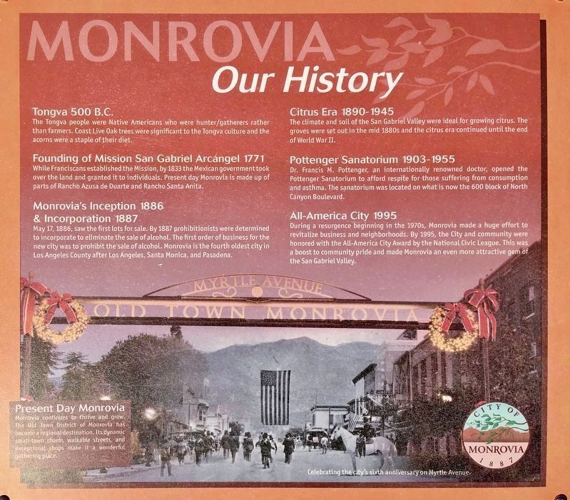
Monrovia - Our History
Tongva 500 B.C.
The Tongva people were Native Americans who were hunter/gatherers rather than farmers. Coast Live Oak trees were significant to the Tongva culture and the acorns were a staple of their diet.
Founding of Mission San Gabriel Arcángel 1771
While Franciscans established the Mission, by 1833 the Mexican government took over the land and granted it to individuals. Present day Monrovia is made up of parts of Rancho Azusa de Duarte and Rancho Santa Anita.
Monrovia's Inception 1886 & Incorporation 1887
May 17, 1886, saw the first lots for sale. By 1887 prohibitionists were determined to incorporate to eliminate the sale of alcohol. The first order of business for the new city was to prohibit the sale of alcohol. Monrovia is the fourth oldest city in Los Angeles County after Los Angeles, Santa Monica, and Pasadena.
Citrus Era 1890-1945
The climate and soil of the San Gabriel Valley were ideal for growing citrus. The groves were set out in the mid 1880s and the citrus era continued until the end of World War II.
Pottenger Sanatorium 1903-1955
Dr. Francis M. Pottenger, an internationally renowned doctor, opened the Pottenger Sanatorium to afford respite for those suffering from consumption and asthma. The sanatorium was located on what is now the 600 block of North Canyon Boulevard.
All-America City 1995
During a resurgence beginning in the 1970s, Monrovia made a huge effort to revitalize business and neighborhoods. By 1995, the City and community were honored with the All-America City Award by the National Civic League. This was a boost to community pride and made Monrovia an even more attractive gem of the San Gabriel Valley.
Erected by City of Monrovia.
Topics. This historical marker is listed in these topic lists: Agriculture • Native Americans • Settlements & Settlers.
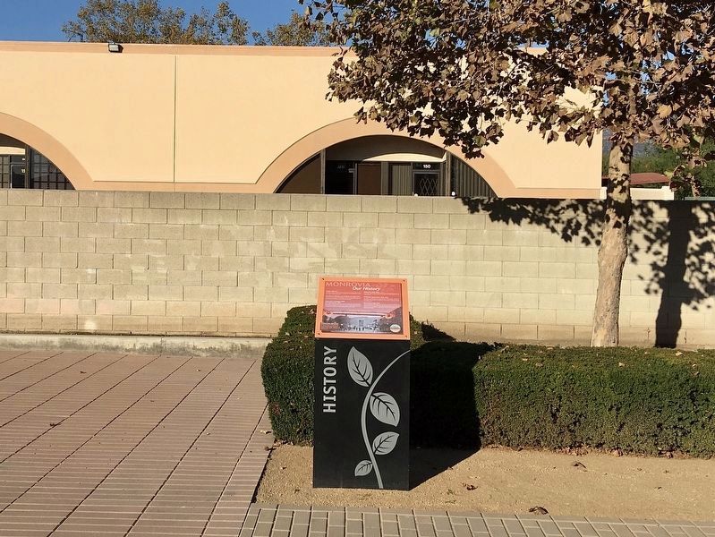
Location. 34° 7.98′ N, 118° 0.107′ W. Marker is in Monrovia, California, in Los Angeles County. Marker can be reached from Myrtle Avenue, 0.2 miles south of Interstate 210, on the right when traveling south. Located in Station Square Park, near the Metro Rail Station. Touch for map. Marker is at or near this postal address: 1629 S Myrtle Ave, Monrovia CA 91016, United States of America. Touch for directions.
Other nearby markers. At least 8 other markers are within 2 miles of this marker, measured as the crow flies. Monrovia Architectural Styles (within shouting distance of this marker); Transportation Evolution (within shouting distance of this marker); Pacific Electric Railway (approx. 0.8 miles away); The Banning Block (approx. 0.9 miles away); Neville Building (approx. one mile away); Monrovia Savings Bank Building (approx. one mile away); Hitching Post (approx. 1.2 miles away); The Derby Restaurant (approx. 1.4 miles away). Touch for a list and map of all markers in Monrovia.
Credits. This page was last revised on January 30, 2023. It was originally submitted on November 19, 2022, by Craig Baker of Sylmar, California. This page has been viewed 247 times since then and 96 times this year. Photos: 1, 2, 3, 4. submitted on November 19, 2022, by Craig Baker of Sylmar, California.


