Tinicum Township near Essington in Delaware County, Pennsylvania — The American Northeast (Mid-Atlantic)
Tinicum National Environmental Center

Photographed By Devry Becker Jones (CC0), November 18, 2022
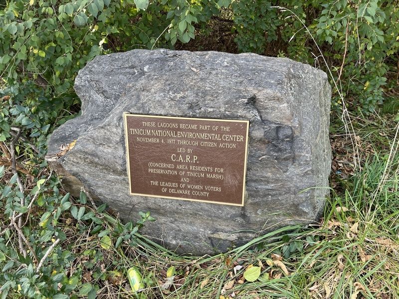
1. Tinicum National Environmental Center Marker
Tinicum National Environmental Center
November 4, 1977 through citizen action
led by
C.A.R.P.
(Concerned Area Residents for
Preservation of Tinicum Marsh)
and
The Leagues of Women Voters
of Delaware County
Erected by Concerned ARea Residents for Preservation of Tinicum Marsh.
Topics. This historical marker is listed in these topic lists: Charity & Public Work • Natural Resources • Parks & Recreational Areas • Waterways & Vessels. A significant historical date for this entry is November 4, 1977.
Location. 39° 52.404′ N, 75° 18.199′ W. Marker is near Essington, Pennsylvania, in Delaware County. It is in Tinicum Township. Marker is on Fishing Point Trail just west of Wanamaker Avenue (Pennsylvania Route 420), on the right when traveling west. Touch for map. Marker is in this post office area: Ridley Park PA 19078, United States of America. Touch for directions.
Other nearby markers. At least 8 other markers are within walking distance of this marker. A Group of Citizens with a Vision (a few steps from this marker); John Heinz National Wildlife Refuge at Tinicum (within shouting distance of this marker); a different marker also named John Heinz National Wildlife Refuge at Tinicum (about 300 feet away, measured in a direct line); River of Change (approx. ¼ mile away); The Ferry Landing (approx. ¼ mile away); Even History Changes (approx. ¼ mile away); Morton Homestead (approx. ¼ mile away); The Second Building (approx. ¼ mile away). Touch for a list and map of all markers in Essington.

Photographed By Devry Becker Jones (CC0), November 18, 2022
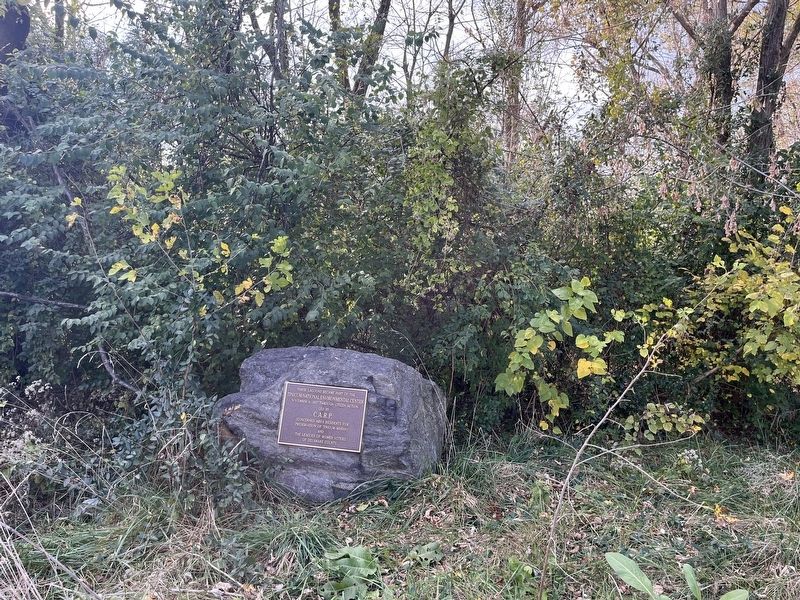
2. Tinicum National Environmental Center Marker
Credits. This page was last revised on August 24, 2023. It was originally submitted on November 20, 2022, by Devry Becker Jones of Washington, District of Columbia. This page has been viewed 89 times since then and 16 times this year. Photos: 1, 2. submitted on November 20, 2022, by Devry Becker Jones of Washington, District of Columbia.