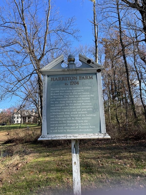
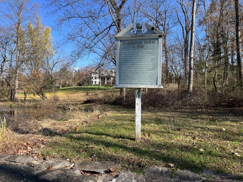
Lower Merion Township in Villanova in Montgomery County, Pennsylvania — The American Northeast (Mid-Atlantic)
Harriton Farm
c. 1704
Topics. This historical marker is listed in these topic lists: Agriculture • Colonial Era • Industry & Commerce • Settlements & Settlers. A significant historical year for this entry is 1719.
Location. 40° 2.446′ N, 75° 19.334′ W. Marker has been reported damaged. Marker is in Villanova, Pennsylvania, in Montgomery County. It is in Lower Merion Township. Marker is on Old Gulph Road, 0.1 miles north of North Ithan Avenue, on the right when traveling north. Touch for map. Marker is at or near this postal address: 1324 Old Gulph Road, Villanova PA 19085, United States of America. Touch for directions.
Other nearby markers. At least 8 other markers are within one mile of this location, measured as the crow flies. Harriton (approx. 0.8 miles away); Garey Hall - 1956 (approx. 0.9 miles away); Bartley Hall - 2002 (approx. one mile away); Sullivan Hall - 1954 (approx. one mile away); Bartley Hall - 1956 (approx. one mile away); Vasey Hall - 1930 (approx. one mile away); Mendel Science Center - 2001 (approx. 1.1 miles away); Corr Hall - 1912 (approx. 1.1 miles away). Touch for a list and map of all markers in Villanova.
More about this marker. Unfortunately the marker has been defaced.
Credits. This page was last revised on June 22, 2023. It was originally submitted on November 21, 2022, by Devry Becker Jones of Washington, District of Columbia. This page has been viewed 91 times since then and 21 times this year. Photos: 1, 2. submitted on November 21, 2022, by Devry Becker Jones of Washington, District of Columbia.

