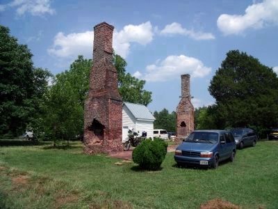
Near Buckingham in Buckingham County, Virginia — The American South (Mid-Atlantic)
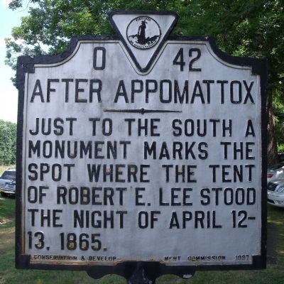
After Appomattox
Erected 1937 by Conservation & Development Commission. (Marker Number O-42.)
Topics and series. This historical marker is listed in this topic list: War, US Civil. In addition, it is included in the Virginia Department of Historic Resources (DHR) series list. A significant historical date for this entry is April 12, 1865.
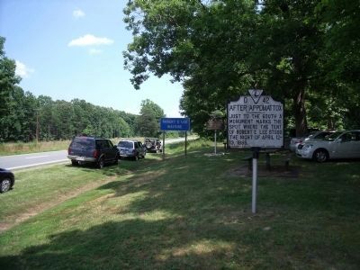
Location. 37° 32.81′ N, 78° 31.509′ W. Marker is near Buckingham, Virginia, in Buckingham County. Marker is at the intersection of Anderson Highway (U.S. 60) and Lee Wayside Road, on the right when traveling east on Anderson Highway. Touch for map. Marker is in this post office area: Buckingham VA 23921, United States of America. Touch for directions.
Other nearby markers. At least 8 other markers are within 2 miles of this marker, measured as the crow flies. One-Room Schoolhouse (about 500 feet away, measured in a direct line); Buckingham Courthouse (approx. ¾ mile away); Confederate Soldiers of Buckingham County (approx. 1.7 miles away); Thomas Jefferson’s Lost Courthouse (approx. 1.7 miles away); Buckingham County War Memorial (approx. 1.7 miles away); a different marker also named Thomas Jefferson’s Lost Courthouse (approx. 1.7 miles away); a different marker also named Thomas Jefferson's Lost Courthouse (approx. 1.8 miles away); a different marker also named Buckingham Courthouse (approx. 2 miles away). Touch for a list and map of all markers in Buckingham.
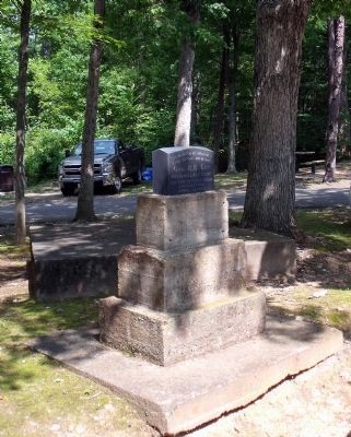
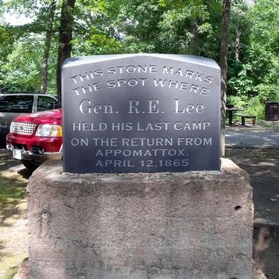
Regarding After Appomattox. "...As evening drew on, General Lee passed through Buckingham Courthouse, where he was identified and greeted. Two miles beyond the village he came, according to Lawley, to the bivouac of Longstreet, and there he decided to make his camp, in woods owned by Mrs. Martha Shepherd. Although his tent was speedily and quietly pitched, the coming of even so small a cavalcade attracted attention. Mrs. Shepherd learned who her visitor was and sent him an invitation to spend the evening at her home. For fear of inconveniencing her, he declined, precisely as he had scores of times during the war." - R. E. Lee: A Biography by Douglas Southall Freeman
Also see . . .
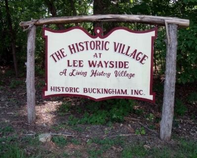
1. Historic Buckingham, Inc. The Historic Village at Lee Wayside. (Submitted on July 26, 2009, by Bernard Fisher of Richmond, Virginia.)
2. Longwood University (pdf file). Archaeological Investigations at Rose Cottage, Buckingham, Virginia. (Submitted on July 26, 2009, by Bernard Fisher of Richmond, Virginia.)
Credits. This page was last revised on June 16, 2016. It was originally submitted on July 26, 2009, by Bernard Fisher of Richmond, Virginia. This page has been viewed 1,762 times since then and 43 times this year. Photos: 1, 2, 3, 4, 5, 6. submitted on July 26, 2009, by Bernard Fisher of Richmond, Virginia.
