Near Prospect in Giles County, Tennessee — The American South (East South Central)
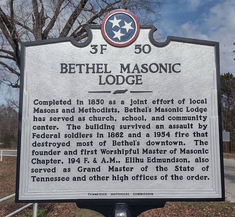
Bethel Masonic Lodge
⎯⎯⎯
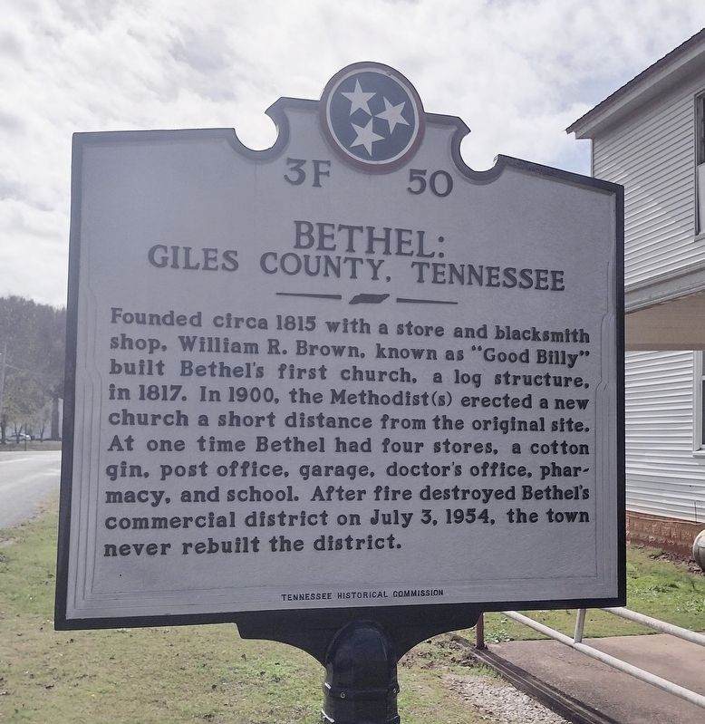
Bethel: Giles County, Tennessee
Photographed by Lee Hattabaugh, November 10, 2022
1. Bethel Masonic Lodge / Bethel: Giles County, Tennessee Marker
Completed in 1850 as a joint effort of local Masons and Methodists, Bethel's Masonic Lodge has served as a church, school, and community center. The building survived an assault by Federal soldiers in 1862 and a 1954 fire that destroyed most of Bethel's downtown. The founder and first Worshipful Master of Masonic Chapter, 194 F. & A.M., Elihu Edmundson, also served as Grand Master of the State of Tennessee and other high offices of the order.
Bethel: Giles County, Tennessee
Founded circa 1815 with a store and blacksmith shop, William R. Brown, known as "Good Billy" built Bethel's first church, a log structure, in 1817. In 1900, the Methodist(s) erected a new church a short distance from the original site. At one time Bethel had four stores, a cotton gin, a post office, garage, doctor's office, pharmacy, and school. After fire destroyed Bethel's commercial district on July 3, 1954, the town never rebuilt the district.
Erected 2022 by Tennessee Historical Commission. (Marker Number 3F 50.)
Topics. This historical marker is listed in these topic lists: Disasters • Fraternal or Sororal Organizations
this page online
Location. 35° 0.132′ N, 87° 3.243′ W. Marker is near Prospect, Tennessee, in Giles County. It is on Turner Road 0 miles north of Alsup Road, on the left when traveling north. Marker is approximately 200 feet north of the Alsup Rd/Turner Rd intersection. Touch for map. Marker is at or near this postal address: 938 Turner Road, Prospect TN 38477, United States of America. Touch for directions.

Regionally, this marker is in Middle Tennessee and in the Highland Rim. It is also in the American South and specifically in the Upper South. Globally, it is in North America, the Western Hemisphere, the Western World, and the Anglosphere. Historically, it finds itself in what was once the territory of the Mississippian Culture, one of the Confederate States of America, and the Antebellum South.
Other nearby markers. At least 8 other markers are within 7 miles of this marker, measured as the crow flies: Dr. Louie Edmundson (within shouting distance of this marker); Bethel United Methodist Church (about 600 feet away, measured in a direct
Photographed by Lee Hattabaugh, November 10, 2022
2. Bethel Masonic Lodge / Bethel: Giles County, Tennessee Marker
Photographed by Lee Hattabaugh, November 10, 2022
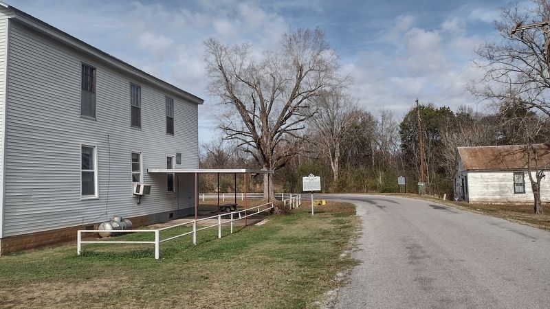
3. Bethel Masonic Lodge / Bethel: Giles County, Tennessee Marker
looking north along Turner Road
Photographed by Lee Hattabaugh, November 10, 2022
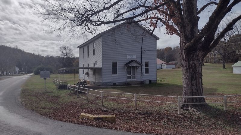
4. Bethel Masonic Lodge / Bethel: Giles County, Tennessee Marker
looking south along Turner Road. Intersection with Alsup Road and part of the community of Bethel in the background.
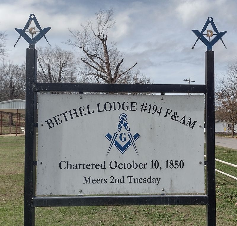
Photographed by Lee Hattabaugh, November 10, 2022
5. Bethel Masonic Lodge 194
Credits. This page was last revised on November 23, 2022. It was originally submitted on November 22, 2022, by Lee Hattabaugh of Capshaw, Alabama. This page has been viewed 852 times since then and 88 times this year. Photos: 1, 2, 3, 4, 5. submitted on November 22, 2022, by Lee Hattabaugh of Capshaw, Alabama. • Bill Pfingsten was the editor who published this page.
