Hot Springs in Garland County, Arkansas — The American South (West South Central)
Hot Springs in 1860
| — | Hot Springs Central Avenue Historic District | — |
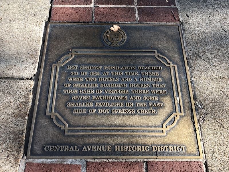
Photographed by Duane and Tracy Marsteller, November 5, 2022
1. Hot Springs in 1860 Marker
Erected by City of Hot Springs.
Topics. This historical marker is listed in these topic lists: Industry & Commerce • Waterways & Vessels. A significant historical year for this entry is 1860.
Location. 34° 31.049′ N, 93° 3.274′ W. Marker is in Hot Springs, Arkansas, in Garland County. It is at the intersection of Central Avenue (Arkansas Route 7) and Canyon Court, on the right when traveling south on Central Avenue. Marker is on the sidewalk next to a lamp post in front of a parking garage. Touch for map. Marker is at or near this postal address: 200 Central Ave, Hot Springs National Park AR 71901, United States of America. Touch for directions.

Regionally, this marker is in the Ouachita Mountains. It is also in the American South and specifically in the Upper South. Globally, it is in North America, the Western Hemisphere, the Western World, and the Anglosphere.
this page online
Other nearby markers. At least 8 other markers are within walking distance of this marker: State Capitol Moves to Hot Springs (a few steps from this marker); Site of the Founding Convention Assemblies of God April 2-12, 1914 (a few steps from this marker); 201 Central Avenue (within shouting distance of this marker); Hot Springs' First Bathhouse (within shouting distance of this marker); Hot Springs' First White Settler (within shouting distance of this marker); Temporary State Capitol (about 300 feet away, measured in a direct line); Wade Building (about 300 feet away); Hot Springs' Resort Beginnings (about 300 feet away). Touch for a list and map of all markers in Hot Springs.
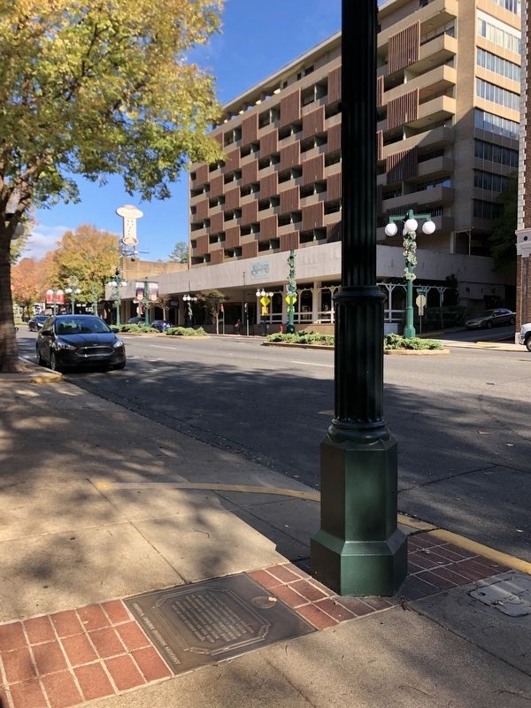
Photographed by Duane and Tracy Marsteller, November 5, 2022
2. Hot Springs in 1860 Marker

David Dale Owen via Arkansas Geological Society (Public Domain), circa 1859
3. Map of Bathhouse Row, ca. 1859
Dr. David Dale Owen, Arkansas' the first State Geologist, drew this map during field studies of the state's geology. From the Arkansas Geological Society:
Hot Spring Creek, which displays across the bottom of the map north to south (note that north is to the left here), now flows underneath Central Avenue in downtown Hot Springs. Central Avenue is the street at the bottom of the photograph (see photo). In 1860, there was no Central Avenue and people crossed Hot Spring Creek on wooden bridges (see map). The bluff east of the creek from which the hot springs flow is now Hot Springs National Park.
Credits. This page was last revised on November 25, 2022. It was originally submitted on November 22, 2022, by Duane and Tracy Marsteller of Murfreesboro, Tennessee. This page has been viewed 345 times since then and 27 times this year. Photos: 1, 2. submitted on November 22, 2022, by Duane and Tracy Marsteller of Murfreesboro, Tennessee. 3. submitted on November 24, 2022, by Duane and Tracy Marsteller of Murfreesboro, Tennessee.
