Near Alpine Village in Alpine County, California — The American West (Pacific Coastal)
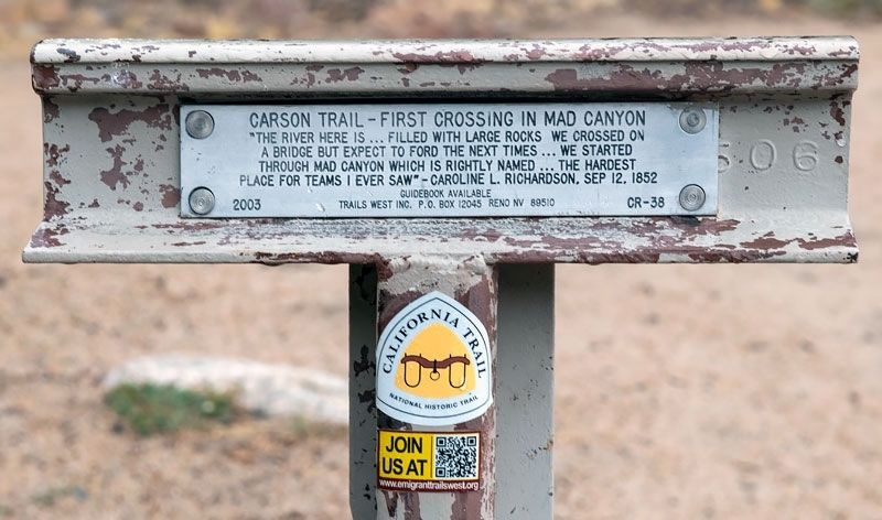
Carson Trail - First Crossing in Mad Canyon
Inscription.
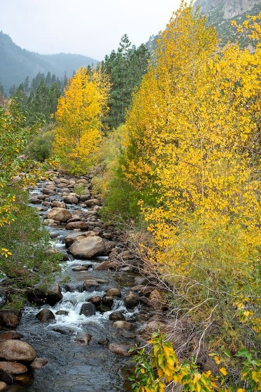
"The river here is…filled with large rocks. We crossed on a bridge but expect to ford the next times…We started through Mad Canyon which is rightly named…the hardest place for teams I ever saw" - Caroline L. Richardson, Sep 12, 1852
Erected 2003 by Trails West, Inc. (Marker Number CR-38.)
Topics and series. This historical marker is listed in these topic lists: Roads & Vehicles • Settlements & Settlers • Women. In addition, it is included in the California Trail, the Kit Carson Trail, and the Trails West Inc. series lists. A significant historical date for this entry is September 12, 1852.
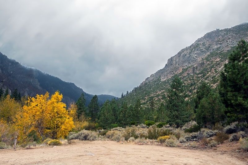
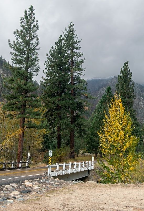
Location. 38° 46.14′ N, 119° 50.345′ W. Marker is near Alpine Village, California, in Alpine County. Marker is on Crystal Springs Road, on the right when traveling west. Marker is on the right as you approach a small bridge across West Fork Carson River. Touch for map. Marker is in this post office area: Markleeville CA 96120, United States of America. Touch for directions.
Other nearby markers. At least 8 other markers are within 4 miles of this marker, measured as the crow flies. The Sign of the Elephant (approx. 0.9 miles away); The Pony Express - Woodfords (approx. one mile away); Woodfords Station (approx. one mile away); Carson Trail - To West Carson Canyon (approx. 1.6 miles away); Carson Trail - Crooked Trail (approx. 2.6 miles away); Snowshoe Thomson (approx. 3.6 miles away); Snowshoe Thompson Home (approx. 3.6 miles away); Snowshoe Thompson (approx. 3.6 miles away). Touch for a list and map of all markers in Alpine Village.
Credits. This page was last revised on November 26, 2022. It was originally submitted on November 4, 2022, by Alvis Hendley of San Francisco, California. This page has been viewed 146 times since then and 22 times this year. Last updated on November 23, 2022, by Alvis Hendley of San Francisco, California. Photos: 1, 2, 3, 4. submitted on November 4, 2022, by Alvis Hendley of San Francisco, California. • Devry Becker Jones was the editor who published this page.


