Near Pleasant Valley in El Dorado County, California — The American West (Pacific Coastal)
Carson Trail - Wagon Road Junction
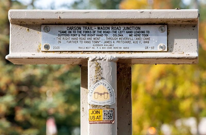
Photographed by Alvis Hendley, October 17, 2022
1. Carson Trail - Wagon Road Junction Marker
Erected 2005 by Trails West, Inc. (Marker Number CR-65.)
Topics and series. This historical marker is listed in these topic lists: Roads & Vehicles • Settlements & Settlers. In addition, it is included in the California Trail, the Kit Carson Trail, and the Trails West Inc. series lists. A significant historical date for this entry is August 11, 1849.
Location. 38° 41.571′ N, 120° 43.003′ W. Marker is near Pleasant Valley, California, in El Dorado County. It is on Pleasant Valley Road, on the left when traveling east. Marker is between the road and the parking lot of Gold Oak Elementary School. Touch for map. Marker is at or near this postal address: 3171 Pleasant Valley Road, Placerville CA 95667, United States of America. Touch for directions.

Regionally, this marker is in California’s Sacramento Metro, in the Gold Country, in the Sierra Nevada, and in the Lake Tahoe Basin. It is
this page online
Other nearby markers. At least 8 other markers are within 5 miles of this marker, measured as the crow flies: Carson Trail - Wagon Road to Placerville (approx. 0.7 miles away); Carson Trail - Descent to Pleasant Valley (approx. 2.2 miles away); a different marker also named Carson Trail - Wagon Road to Placerville (approx. 2.3 miles away); Carson Trail - Pleasant Valley (approx. 3 miles away); The Smith Flat House (approx. 3½ miles away); James G. Eddy (approx. 3½ miles away); Boeger Winery (approx. 4.7 miles away); Swift Berry (approx. 4.7 miles away). Touch for a list and map of all markers in Pleasant Valley.
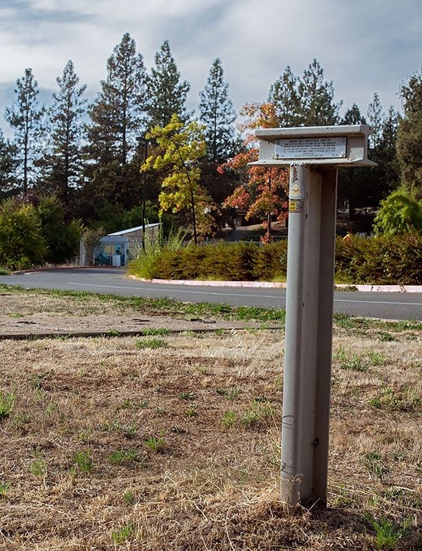
Photographed by Alvis Hendley, October 17, 2022
2. Carson Trail - Wagon Road Junction Marker
Credits. This page was last revised on November 29, 2022. It was originally submitted on November 23, 2022, by Alvis Hendley of San Francisco, California. This page has been viewed 320 times since then and 30 times this year. Photos: 1, 2. submitted on November 23, 2022, by Alvis Hendley of San Francisco, California. • Syd Whittle was the editor who published this page.
