Shaw in Northwest Washington in Washington, District of Columbia — The American Northeast (Mid-Atlantic)
The Almanac of 1792 / The Naming of a Neighborhood

Photographed By Devry Becker Jones (CC0), November 24, 2022
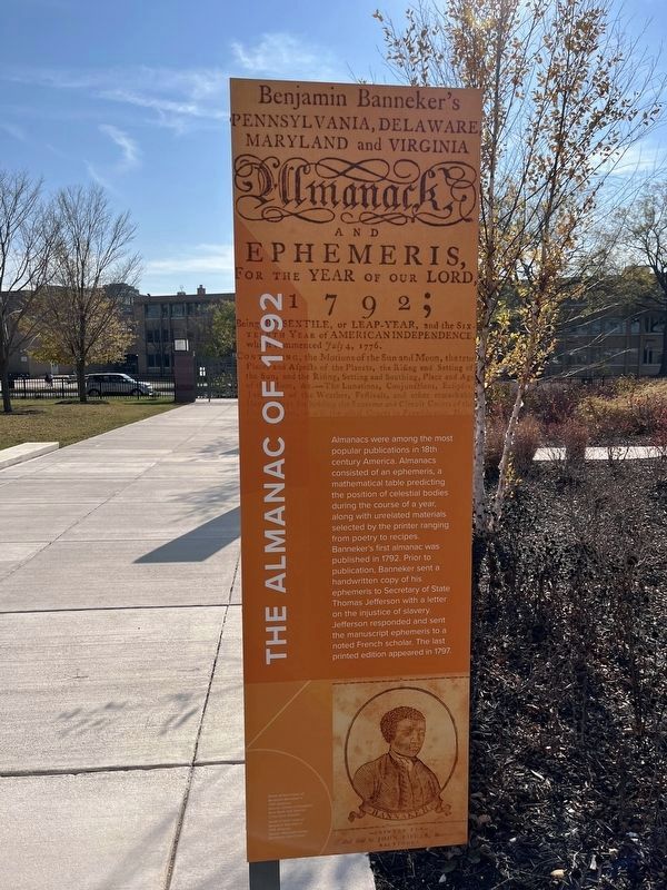
1. The Almanac of 1792 side of the marker
The Almanac of 1792
Almanacs were among the most popular publications in 18th century America. Almanacs consisted of an ephemeris, a mathematical table predicting the position of celestial bodies during the course of a year, along with unrelated materials selected by the printer ranging from poetry to recipes. Banneker's first almanac was published in 1792. Prior to publication, Banneker sent a handwritten copy of his ephemeris to Secretary of State Thomas Jefferson with a letter on the injustice of slavery. Jefferson responded and sent the manuscript ephemeris to a noted French scholar. The last printed edition appeared in 1797.
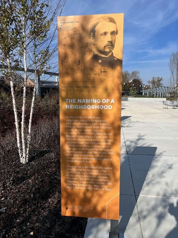
The Naming of a Neighborhood
Earlier names for the Shaw neighborhood include Northern Liberties, Bricktown, Hell's Bottom, MidCity, and Uptown. Parts of Logan Circle, Mount Vernon Square, U Street, Truxton Circle, Bates Street, Blagden Alley, Naylor Court, and Cardozo are located within the Shaw neighborhood's original boundaries. In 1966, boundaries of Shaw Junior High School (U Street/Florida Avenue, North Capitol, M and 15th Street, NW) were used to define a new urban renewal area named the Shaw School Urban Renewal Area.
Shaw Junior High School was named after Colonel Robert Gould Shaw (1837-1863), the commander of one of the Union's first Black infantries: The 54th Massachusetts Regiment. Shaw led the troops in the Civil War battle at Fort Wagner on Morris Island, South Carolina in 1863.
Topics and series. This historical marker is listed in these topic lists: African Americans • Arts, Letters, Music • Science & Medicine • Settlements & Settlers • War, US Civil. In addition, it is included in the Former U.S. Presidents: #03 Thomas Jefferson series list. A significant historical year for this entry is 1792.
Location. 38° 54.696′ N, 77° 1.539′ W. Marker is in Northwest Washington in Washington, District of Columbia. It is in Shaw. Marker is at the intersection of Rhode Island Avenue Northwest (U.S. 29) and 10th Street Northwest, on the right when traveling west on Rhode Island Avenue Northwest. Touch for map. Marker is at or near this postal address: 925 Rhode Island Ave NW, Washington DC 20001, United States of America. Touch for directions.
Other nearby markers. At least 8 other markers are within walking distance of this marker. The Evolution of a Neighborhood / Shaw, U Street, and Black Culture (here, next to this marker); The City & The Stars (here, next to this marker); Shaw Junior High School (a few steps from this marker); Benjamin Banneker - A Man of Science (a few steps from this marker); Planning the Federal City (a few steps from this marker); Benjamin Banneker Academic High School (within

Photographed By Devry Becker Jones (CC0), November 24, 2022
2. The Naming of a Neighborhood side of the marker

Photographed By Devry Becker Jones (CC0), November 24, 2022
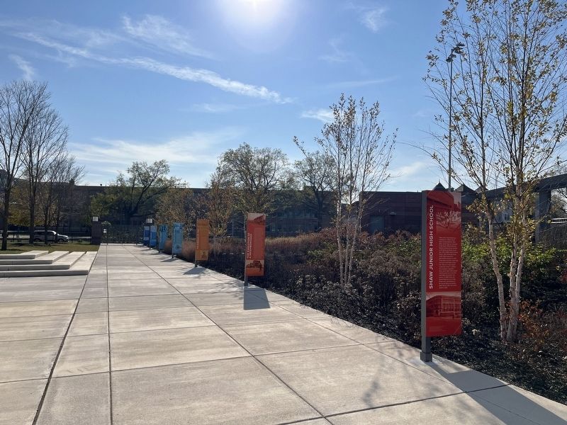
3. Markers on the grounds of Benjamin Banneker Academic High School from the north

Photographed By Devry Becker Jones (CC0), November 24, 2022
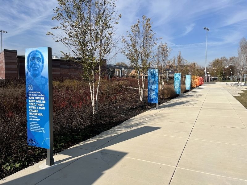
4. Markers on the grounds of Benjamin Banneker Academic High School from the south
Credits. This page was last revised on January 30, 2023. It was originally submitted on November 23, 2022, by Devry Becker Jones of Washington, District of Columbia. This page has been viewed 98 times since then and 28 times this year. Photos: 1, 2, 3, 4. submitted on November 25, 2022, by Devry Becker Jones of Washington, District of Columbia.