Oakwood in Leon County, Texas — The American South (West South Central)
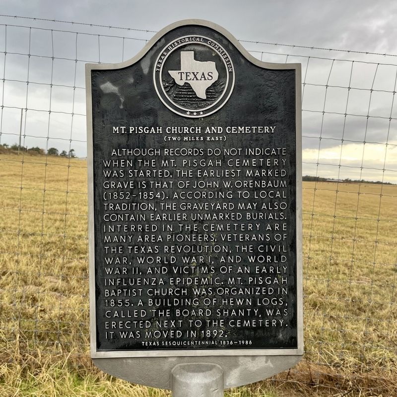
Mt. Pisgah Church and Cemetery
(two miles east)
Although records do not indicate when the Mt. Pisgah Cemetery was started, the earliest marked grave is that of John W. Orenbaum (1852-1854). According to local tradition, the graveyard may also contain earlier unmarked burials. Interred in the cemetery are many area pioneers, veterans of the Texas Revolution, the Civil War, World War I, and World War II, and victims of an early influenza epidemic. Mt. Pisgah Baptist Church was organized in 1855. A building of hewn logs, called the Board Shanty, was erected next to the cemetery. It was moved in 1892.
Erected 1986 by Texas Historical Commission. (Marker Number 9632.)
Topics. This historical marker is listed in these topic lists: Cemeteries & Burial Sites • Churches & Religion. A significant historical year for this entry is 1855.
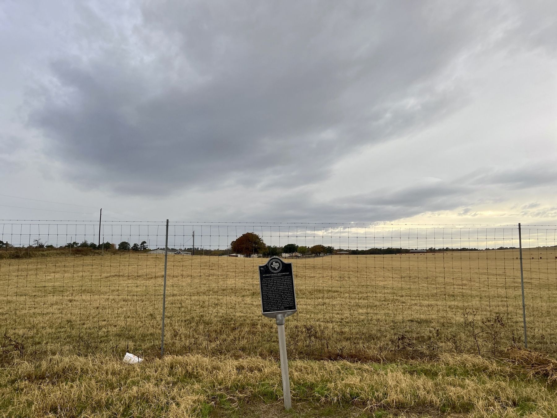
Location. 31° 32.927′ N, 95° 48.694′ W. Marker is in Oakwood, Texas, in Leon County. Marker is at the intersection of Farm to Market Road 542 and County Road 2421, on the right when traveling south on Road 542. Touch for map. Marker is at or near this postal address: 24754 FM 542, Oakwood TX 75855, United States of America. Touch for directions.
Other nearby markers. At least 5 other markers are within 16 miles of this marker, measured as the crow flies. Site of Woodhouse School (approx. 7.9 miles away); Site of Old Magnolia (approx. 9 miles away); Fort Houston Cemetery (approx. 15.4 miles away); Fort Houston (approx. 16 miles away); a different marker also named Fort Houston (approx. 16 miles away).
Credits. This page was last revised on December 7, 2022. It was originally submitted on November 25, 2022, by QuesterMark of Fort Worth, Texas. This page has been viewed 146 times since then and 30 times this year. Photos: 1, 2. submitted on November 25, 2022, by QuesterMark of Fort Worth, Texas. • Devry Becker Jones was the editor who published this page.

