Near Sioux Falls in Lincoln County, South Dakota — The American Midwest (Upper Plains)
New Arrivals
October 30, 2022
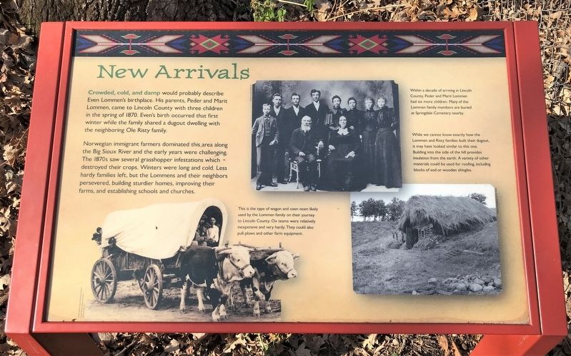
1. New Arrivals Marker
Norwegian immigrant farmers dominated this area along the Big Sioux River and the early years were challenging. The 1870s saw several grasshopper infestations which destroyed their crops. Winters were long and cold. Less hardy families left, but the Lommens and their neighbors persevered, building sturdier homes, improving their farms, and establishing schools and churches.
This is the type of wagon and oxen team likely used by the Lommen family on their journey to Lincoln County. Ox teams were relatively inexpensive and very hardy. They could also pull plows and other farm equipment.
Within a decade of arriving in Lincoln County, Peder and Marit Lommen had six more children. Many of the Lommen family members are buried at Springdale Cemetery nearby.
While we cannot know exactly how the Lommen and Risty families built their dugout, it may have looked similar to this one. Building into the side of the hill provides insulation from the earth. A variety of other materials could be used for roofing, including blocks of sod or wooden shingles.
Topics and series.
this page online
Location. 43° 28.927′ N, 96° 35.309′ W. Marker is near Sioux Falls, South Dakota, in Lincoln County. It can be reached from 480th Avenue (County Highway 135) ¼ mile south of 269th Street (County Highway 102). Located on the Lommen Trail in Good Earth State Park. Touch for map. Marker is at or near this postal address: 26924 480th Ave, Sioux Falls SD 57108, United States of America. Touch for directions.

Regionally, this marker is in East River. It is also in the American Midwest, in the Lewis & Clark Corridor, in the Corn Belt, on the prairies, and on the Northern Plains. Globally, it is in North America, the Western Hemisphere, the Western World, and the Anglosphere. Historically, it finds itself in what was once Rupert’s Land and also the Louisiana Purchase.
Other nearby markers. At least 8 other markers are within walking distance of this marker: The Missing Bison (approx. 0.3 miles away); A Trading Center
October 30, 2022
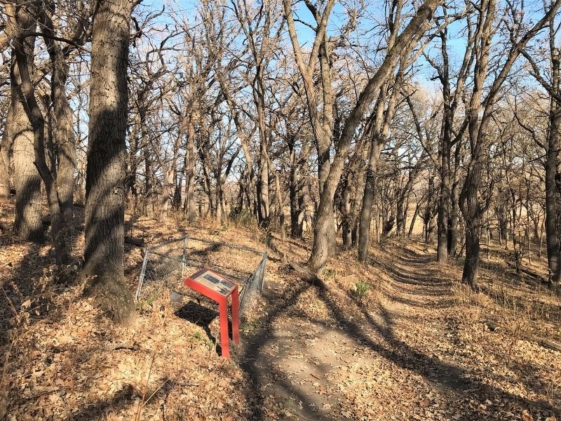
2. New Arrivals Marker, from the west
October 30, 2022
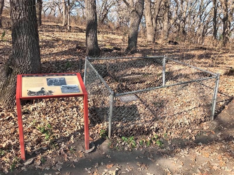
3. New Arrivals Marker & Even Lommen Gravestone
October 30, 2022
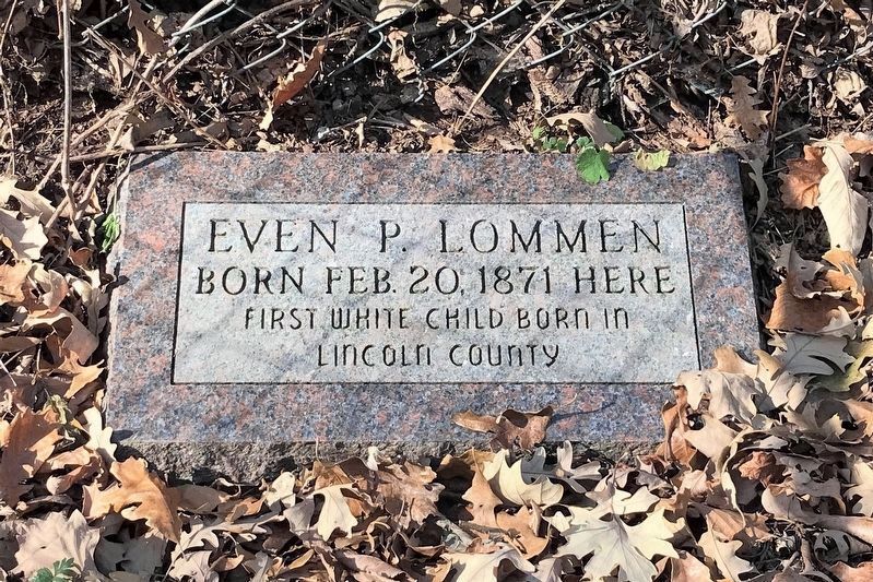
4. Even Lommen Gravestone
Born Feb. 20, 1871 Here
First white child born in Lincoln County
Credits. This page was last revised on February 1, 2026. It was originally submitted on November 26, 2022. This page has been viewed 524 times since then and 34 times this year. Photos: 1, 2, 3, 4. submitted on November 26, 2022.
