Near Williams in Lake of the Woods County, Minnesota — The American Midwest (Upper Plains)
The Zippel Town Site and Levee
⎯⎯⎯
The Zippel Fishery
Photographed by McGhiever, August 31, 2021
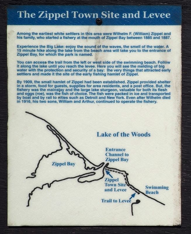
1. The Zippel Town Site and Levee Marker
The Zippel Town Site and Levee
Among the earliest white settlers in this area were Wilhelm F. (William) Zippel and his family, who started a fishery at the mouth of Zippel Bay between 1885 and 1887.
Experience the Big Lake: enjoy the sound of the waves, the smell of the water. A 15 minute hike along the lake from the beach area will take you to the entrance of Zippel Bay, for which the park is named.
You can access the trail from the left or west side of the swimming beach. Follow it along the lake until you reach the levee. Here you will see the melding of big water with the protection and security of a bay: the very things that attracted early settlers and made it the site of the early fishing hamlet of Zippel.
By 1909, the small hamlet of Zippel and had been established. Zippel provided shelter in a storm, food for guests, supplies for area residents, and a post office. But, the fisher was the mainstay and the large lake sturgeon, valuable for both its flesh and eggs (roe), was the fish of choice. The fish were packed in ice and transported by boat and by rail to cities such as Detroit and New York. Even
this page online
The Zippel Fishery
Fishing — A Way of Life at Zippel
Among the earliest white settlers in this area were Wilhelm F. (William) Zippel and his family, who started a fishery at the mouth of Zippel Bay between 1885 and 1887.
By 1909, the small hamlet of Zippel had been established. Zippel provided shelter in a storm, food for guests, supplies for area residents, and a post office. But, the fishery was the mainstay. Even after Wilhelm died in 1916, his two sons, William and Arthur, continued to operate the fishery.
Focus on Sturgeon
Sturgeon, valuable for both its flesh and eggs (roe), was the fish of choice. The fish were packed in ice and transported by boat and by rail to cities such as Detroit and New York. In winter they were taken to local markets and to settlers in the Red River Valley.
The Pound Net
The sturgeon were caught in square "pound nets" set in clam beds at a drop-off point. An advantage to the pound net was that the fish stayed alive, and were still good even when the net could not be checked daily.
Commercial

Photographed by McGhiever, August 31, 2021
2. The Zippel Fishery Marker
Mounted on the back of the signpost
A late 1800s sturgeon caught in the Roseau River.
Topics. This historical marker is listed in these topic lists: Industry & Commerce • Settlements & Settlers • Waterways & Vessels. A significant historical year for this entry is 1885.
Location. 48° 52.026′ N, 94° 50.868′ W. Marker is near Williams, Minnesota, in Lake of the Woods County. It is on 54th Avenue Northwest (County Route 34) 2.7 miles north of County Road 8NW, on the right when traveling north. Markers are on a signpost in Zippel Bay State Park (fee area), at the northeast end of the beach parking lot. Touch for map. Marker is at or near this postal address: 3684 54th Ave NW, Williams MN 56686, United States of America. Touch for directions.

Regionally, this marker is in Minnesota’s Northland. It is also in the American Midwest and in the Corn Belt. Globally, it is in North America, the Great North Woods, the Western Hemisphere, the Western World, and the Anglosphere. Historically, it finds itself in what was once Rupert’s
Photographed by McGhiever, August 31, 2021
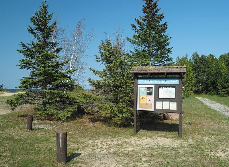
3. Marker in Zippel Bay State Park
Other nearby markers. At least 2 other markers are within 2 miles of this marker, measured as the crow flies: An Early Way of Life / The First Roads (about 300 feet away, measured in a direct line); Welcome to Garden Island State Recreation Area (approx. 1.3 miles away).
Credits. This page was last revised on December 8, 2022. It was originally submitted on December 1, 2022, by McGhiever of Minneapolis, Minnesota. This page has been viewed 262 times since then and 39 times this year. Photos: 1, 2, 3. submitted on December 1, 2022, by McGhiever of Minneapolis, Minnesota. • Devry Becker Jones was the editor who published this page.
