Bethune in Dufferin No. 190, Saskatchewan — The Prairie Region (North America)
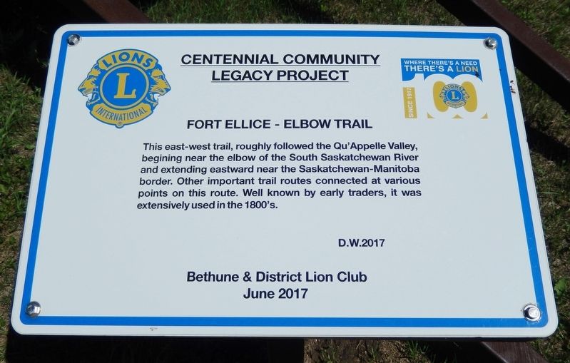
Fort Ellice - Elbow Trail
Centennial Community Legacy Project
This east-west trail, roughly followed the Qu'Appelle Valley, beginning near the elbow of the South Saskatchewan River and extending eastward near the Saskatchewan-Manitoba border. Other important trail routes connected at various points on this route. Well known by early traders, it was extensively used in the 1800's.
Erected 2017 by Bethune & District Lion Club.
Topics. This historical marker is listed in these topic lists: Colonial Era • Forts and Castles • Industry & Commerce • Roads & Vehicles.
Location. 50° 42.998′ N, 105° 12.295′ W. Marker is in Bethune, Saskatchewan, in Dufferin No. 190. Marker is at the intersection of Louis Riel Trail (Provincial Highway 11) and East Street (Route 739), on the right when traveling east on Louis Riel Trail. Touch for map. Marker is in this post office area: Bethune SK S0G 0H0, Canada. Touch for directions.
Also see . . .
1. Fort Ellice.
Fort Ellice was a Hudson's Bay Company trading post operated from 1794 to 1892. First established on the Qu'Appelle River, the post was rebuilt in 1817 on the south bank of the Assiniboine. The fort was located in what is now west-central Manitoba, Canada, just east of that province's border with Saskatchewan.(Submitted on December 2, 2022, by Cosmos Mariner of Cape Canaveral, Florida.)
2. Fort Ellice Trail.
For most of the nineteenth century the Canadian grasslands were criss-crossed with thousands of miles of connecting trails. They were largely made by Red River cart brigades connecting the fur-trading posts with each other and with the buffalo hunting grounds. One of the major trails wound its way from the Red River settlement to Fort Edmonton some 900 miles to the north-west. The Fort Ellice Trail was used by Indians, traders, hunters, missionaries, Mounted Police, surveyors and settlers.(Submitted on December 1, 2022, by Cosmos Mariner of Cape Canaveral, Florida.)
Credits. This page was last revised on December 2, 2022. It was originally submitted on December 1, 2022, by Cosmos Mariner of Cape Canaveral, Florida. This page has been viewed 128 times since then and 21 times this year. Photos: 1, 2. submitted on December 1, 2022, by Cosmos Mariner of Cape Canaveral, Florida.

