Eureka in St. Louis County, Missouri — The American Midwest (Upper Plains)
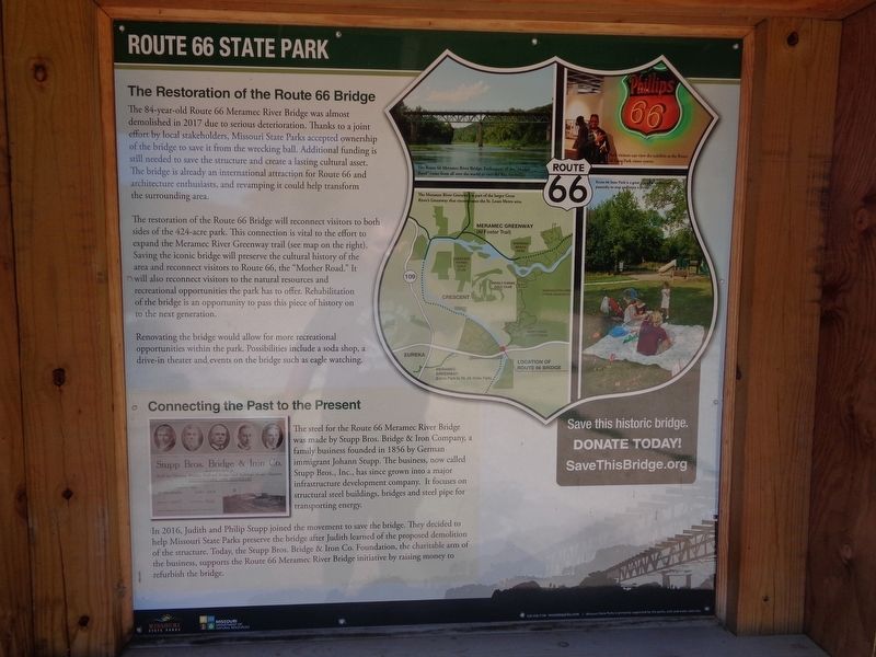
The Restoration of the Route 66 Bridge
Route 66 State Park
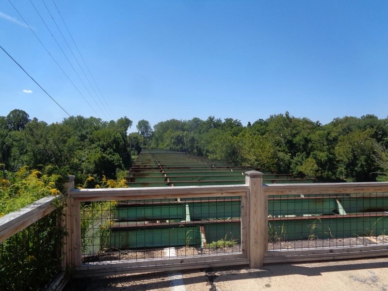
The restoration of the Route 66 Bridge will reconnect visitors to both sides of the 424-acre park. This connection is vital to the effort to expand the Meramec River Greenway trail. Saving the iconic bridge will preserve the cultural history of the area and reconnect visitors to the natural resources and recreational opportunities the park has to offer. Rehabilitation of the bridge is an opportunity to pass this piece of history on to the next generation.
Renovating the bridge would allow for more recreational opportunities within the park. Possibilities include a soda shop, a drive-in theater an events on the bridge such as eagle watching.
Connecting the Past to the Present
The steel for the Route 66 Meramec River Bridge was made by Stupp Bros. Bridge & Iron Company, a family business founded in 1856 by German immigrant Johann Stupp. The business, now called Stupp Bros., Inc., has since grown into a major infrastructure development company. It focuses on structural steel buildings, bridges and steel pipe for transporting energy.
In 2016, Judith and Philip Stupp joined the movement to save the bridge. They decided to help Missouri State Parks preserve the bridge after Judith learned of the proposed demolition of the structure. Today, the Stupp Bros. Bridge & Iron Co. Foundation, the charitable arm of the business, supports the Route 66 Meramec River Bridge initiative by raising money to refurbish the bridge.
Erected by Missouri State Parks.
Topics and series. This historical marker is listed in these topic lists: Bridges & Viaducts • Industry & Commerce • Parks & Recreational Areas. In addition, it is included in the U.S. Route 66 series list. A significant historical year for this entry is 2017.
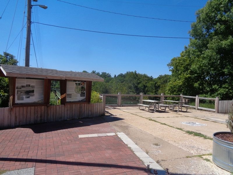
Location. 38° 30.349′ N, 90° 35.482′ W. Marker is in Eureka, Missouri, in St. Louis County. Marker is on North Outer Road west of Lewis Road, on the left when traveling west. Marker is located outside Route 66 Park Visitors Center. Touch for map. Marker is at or near this postal address: 90 N Outer Rd, Eureka MO 63025, United States of America. Touch for directions.
Other nearby markers. At least 8 other markers are within 5 miles of this marker, measured as the crow flies. A Route to the Past, a Bridge to the Future (here, next to this marker); A "Key" from the past… (within shouting distance of this marker); Meramec Greenway - Flat Creek Trail at Kircher Park (approx. 1.3 miles away); Meramec Greenway - Flat Creek Trail at Lions Park (approx. 2.2 miles away); In Honor of all Eureka Residents who Served Their Country (approx. 2.3 miles away); Historic Glencoe (approx. 3.2 miles away); In Honor of Those from this Community (approx. 4˝ miles away); This Memorial Dedicated through the generosity of Captain R. A. Gentz (approx. 4˝ miles away). Touch for a list and map of all markers in Eureka.
Credits. This page was last revised on December 2, 2022. It was originally submitted on December 2, 2022, by Jason Voigt of Glen Carbon, Illinois. This page has been viewed 142 times since then and 41 times this year. Photos: 1, 2, 3. submitted on December 2, 2022, by Jason Voigt of Glen Carbon, Illinois.


