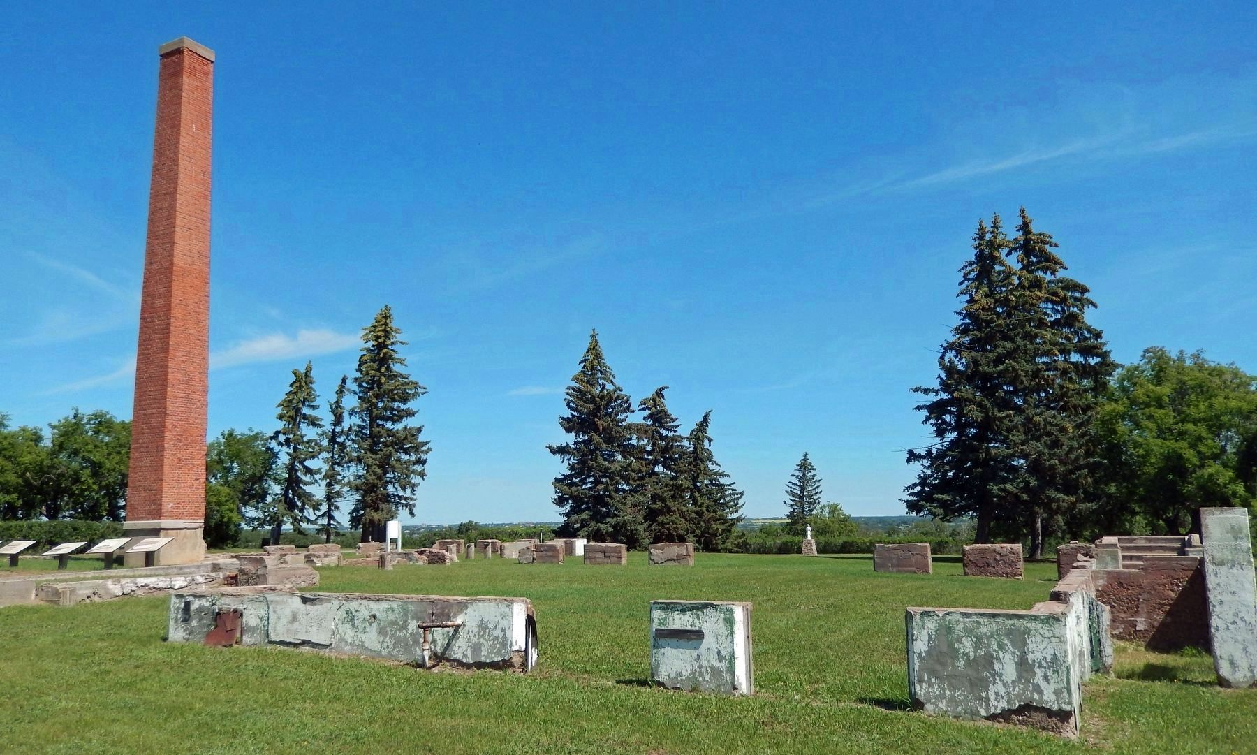
Battleford in Battle River No. 438, Saskatchewan — The Prairie Region (North America)
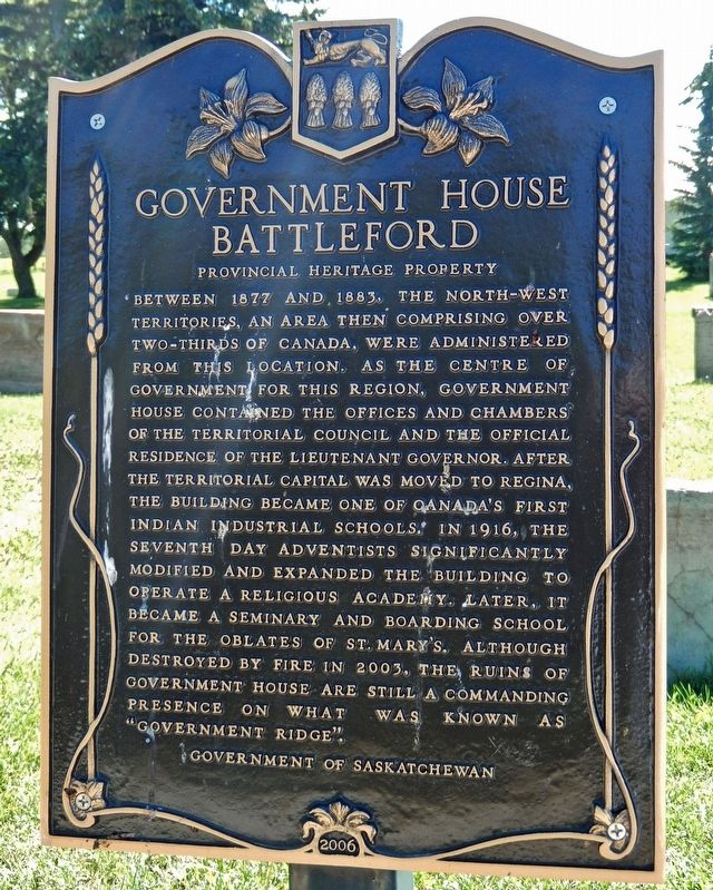
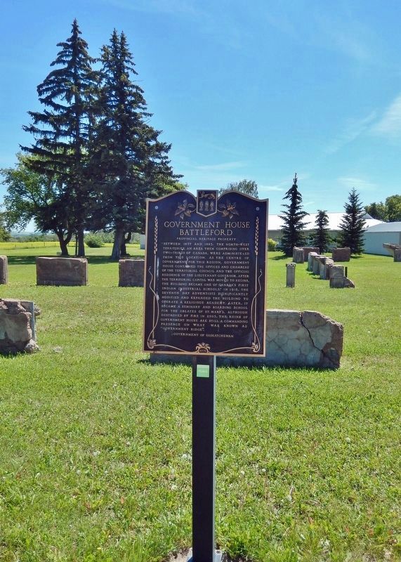
Government House Battleford
Provincial Heritage Property
Erected 2006 by Government of Saskatchewan.
Topics. This historical marker is listed in these topic lists: Churches & Religion • Education • Government & Politics • Native Americans. A significant historical year for this entry is 1877.
Location. 52° 42.716′ N, 108° 18.502′ W. Marker is in Battleford, Saskatchewan, in Battle River No. 438. Marker is on 3 Avenue West, 0.4 kilometers south of Old Saskatchewan Highway 4 (Provincial Highway 658), on the left when traveling south. Marker is located at the north end of the Old Government House Site. Touch for map. Marker is in this post office area: Battleford SK S0M 0E0, Canada. Touch for directions.
Other nearby markers. At least 8 other markers are within walking distance of this marker. Government House (within shouting distance of this marker); Indian Industrial School (within shouting distance of this marker); Seventh Day Adventists Academy (within shouting distance of this marker); Oblate Seminary (within shouting distance of this marker); The End of an Era (within shouting distance of this marker); Government House, Battleford (within shouting distance of this marker); Seat of the Territorial Government 1878-1883 (within shouting distance of this marker); Battleford Land Registry Building (approx. 0.6 kilometers away). Touch for a list and map of all markers in Battleford.
Regarding Government House Battleford. Canadian Register of Historic Places, (1984/03/27).
Related markers. Click here for a list of markers that are related to this marker. Old Government House, Battleford, Saskatchewan
Also see . . .
1. Old Government House / Saint-Charles Scholasticate National Historic Site of Canada.
Old Government House is the site of the first Territorial Government House in what is now the Province of Saskatchewan. The building was destroyed by fire in 2003 and the site now consists of a grassy plateau with archaeological remains of the former structure. It overlooks the vast valley of the Saskatchewan and Battle rivers. Its heritage value resides in its association with the establishment of federal government in the West. This is best expressed in the dominant and highly visible site, high above the Battle and Saskatchewan rivers, the major travel arteries of the time.(Submitted on December 4, 2022, by Cosmos Mariner of Cape Canaveral, Florida.)
2. Government Ridge, Battleford, Saskatchewan.
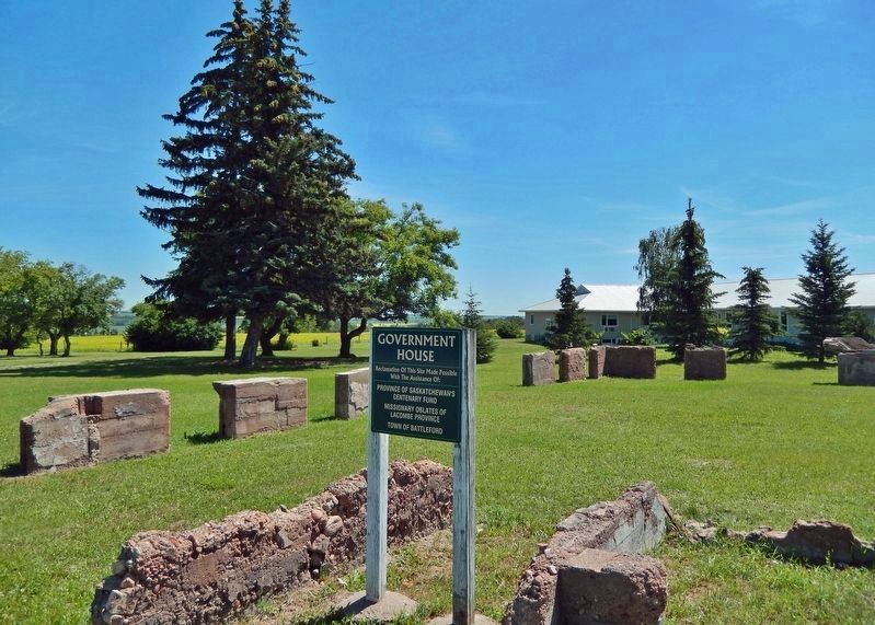
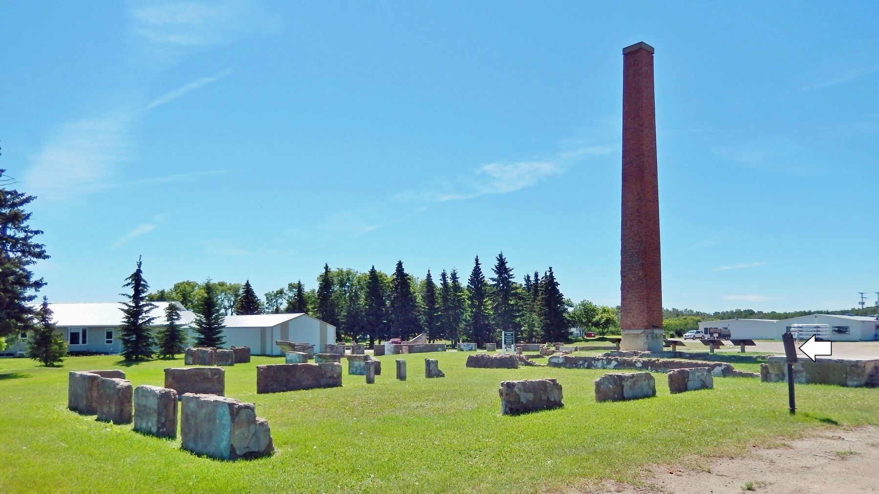
Government House, Battleford is a Provincial Heritage Property located on a scenic hilltop overlooking the junction of the Battle and North Saskatchewan Rivers in the Town of Battleford. The site consists of a ¾-hectare parcel of landscaped grounds, which includes a brick chimney, foundation, and other stabilized ruins from a fire that destroyed the building in June of 2003.(Submitted on December 4, 2022, by Cosmos Mariner of Cape Canaveral, Florida.)
Credits. This page was last revised on December 4, 2022. It was originally submitted on December 4, 2022, by Cosmos Mariner of Cape Canaveral, Florida. This page has been viewed 80 times since then and 15 times this year. Photos: 1, 2, 3, 4, 5. submitted on December 4, 2022, by Cosmos Mariner of Cape Canaveral, Florida.
