Braddock Heights in Frederick County, Maryland — The American Northeast (Mid-Atlantic)
The Catoctin Mountain Range
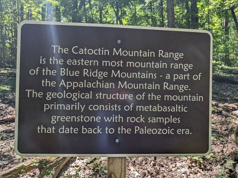
Photographed by Sean C Bath, August 13, 2022
1. The Catoctin Mountain Range Marker
Topics. This historical marker is listed in this topic list: Environment.
Location. 39° 28.019′ N, 77° 29.455′ W. Marker is in Braddock Heights, Maryland, in Frederick County. It is on Gambrill Park Road. The sign is on a trail at Gambrill State Park. Touch for map. Marker is at or near this postal address: 8213-8281 Gambrill Park Rd, Frederick MD 21702, United States of America. Touch for directions.

Regionally, this marker is in the Washington Metropolitan Area and in Central Maryland. It is also in the American Mid-Atlantic. Globally, it is in North America, the Western Hemisphere, the Western World, and the Anglosphere. Historically, it finds itself in what was once one of the original Thirteen Colonies and also the Antebellum South.
Other nearby markers. At least 8 other markers
this page online
Another marker is no longer nearby. Hagan’s Tavern (was approx. 3 miles away but has been replaced with another marker now near it).
Credits. This page was last revised on December 5, 2022. It was originally submitted on December 4, 2022, by Sean C Bath of Silver Spring, Maryland. This page has been viewed 393 times since then and 26 times this year. Photo 1. submitted on December 4, 2022, by Sean C Bath of Silver Spring, Maryland. • Bill Pfingsten was the editor who published this page.
