Near Picketts Junction in Alpine County, California — The American West (Pacific Coastal)
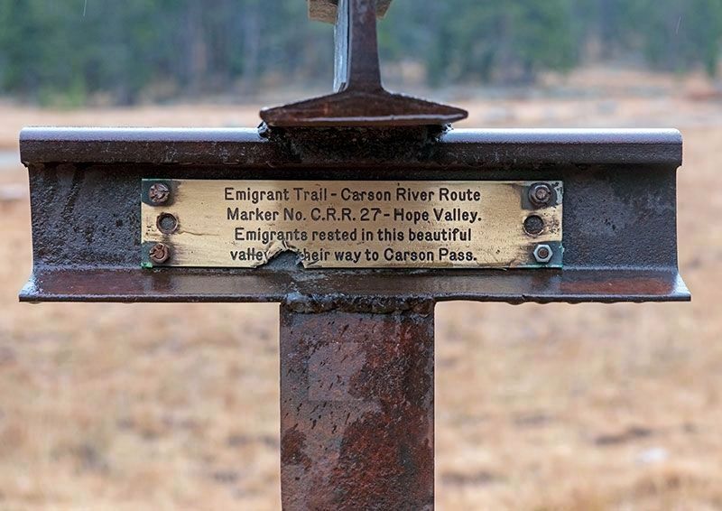
Emigrant Trail - Carson River Route
Photographed by Alvis Hendley, October 21, 2022
1. Emigrant Trail - Carson River Route
Trails West plate CR-40 was mounted on the other side of the steel rail in 2003.
Emigrants rested in this beautiful valley on their way to Carson Pass.
Erected 1968 by Nevada Emigrant Trail Marking Committee (NETMC). (Marker Number C.R.R.27.)
Topics and series. This historical marker is listed in these topic lists: Roads & Vehicles • Settlements & Settlers. In addition, it is included in the California Trail series list.
Location. 38° 46.535′ N, 119° 55.153′ W. Marker is near Picketts Junction, California, in Alpine County. It is on Burnside Road, on the right when traveling south. Parking is available near the marker on Burnside Road about 200 feet south of the intersection of CA-88 and CA-89. Touch for map. Marker is in this post office area: Markleeville CA 96120, United States of America. Touch for directions.

Regionally, this marker is in California’s Sierra Nevada. It is also in the American Mountain West. Globally, it is in North America, on the Pacific Rim, in the Western Hemisphere, in the Western World, and in the Anglosphere. Historically, it finds itself in what was once
this page online
Other nearby markers. At least 8 other markers are within 5 miles of this marker, measured as the crow flies: Carson Trail - Hope Valley (here, next to this marker); Luther Pass Trail - Leaving the Carson Trail (here, next to this marker); a different marker also named Luther Pass Trail - Leaving the Carson Trail (here, next to this marker); Luther Pass Trail - Luther Pass (approx. 1.7 miles away); Carson Trail - Crooked Trail (approx. 1.8 miles away); Over the Sierra Nevada (approx. 2.2 miles away); Luther Pass Trail - Came to Grass Lake (approx. 3 miles away); Carson Trail - First Crossing in Mad Canyon (approx. 4.3 miles away). Touch for a list and map of all markers in Picketts Junction.
More about this marker. The Nevada Emigrant Trail Marking Committee (NETMC), founded in Reno in 1967, was the first organization to mark emigrant trails with distinctive steel-rail T markers.
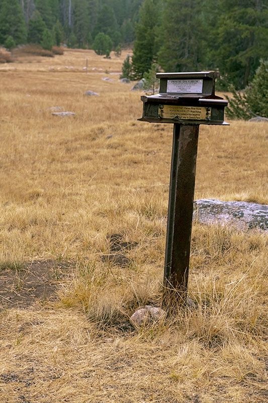
In 1975, NETMC transferred ownership of the markers to Trails West, Inc. The original markers were integrated into a renumbered trail marking system. The original NETMC plate was attached to one side of
Photographed by Alvis Hendley, October 21, 2022
2. Carson Trail and Luther Pass Trail
One plate is mounted on the top steel rail: LP-1 (Luther Pass). Two plates are mounted on the bottom steel rail: C.R.R.27 (Emigrant Trail) and CR-40 (Carson Trail).
Source: Carson Trail Driving Guide published by Trails West, Inc.
Photographed by Alvis Hendley, October 21, 2022
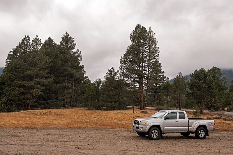
3. Carson Trail and Luther Pass Trail
Markers are between the truck and the tall tree.
Credits. This page was last revised on December 13, 2022. It was originally submitted on December 5, 2022, by Alvis Hendley of San Francisco, California. This page has been viewed 821 times since then and 89 times this year. Photos: 1, 2, 3. submitted on December 5, 2022, by Alvis Hendley of San Francisco, California. • Bill Pfingsten was the editor who published this page.
