Pikeville in Pike County, Kentucky — The American South (East South Central)
Pikeville Cut-Through Project
Inscription.
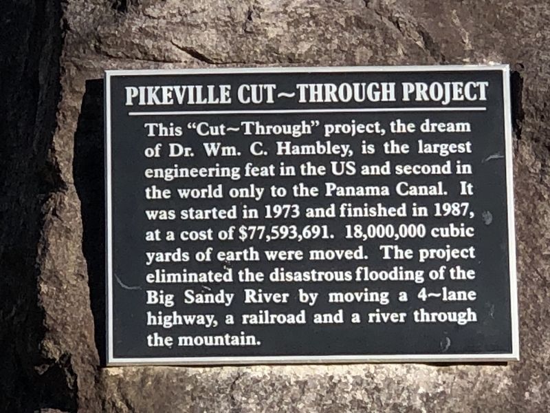
This "Cut-Through” project, the dream of Dr. Wm. C. Hambley, is the largest engineering feat in the US and second in the world only to the Panama Canal. It was started in 1973 and finished in 1987, at a cost of $77,593,691. 18,000,000 cubic yards of earth were moved. The project eliminated the disastrous flooding of the Big Sandy River by moving a 4-lane highway, a railroad and a river through the mountain.
Topics. This historical marker is listed in these topic lists: Industry & Commerce • Railroads & Streetcars • Roads & Vehicles • Waterways & Vessels. A significant historical year for this entry is 1987.
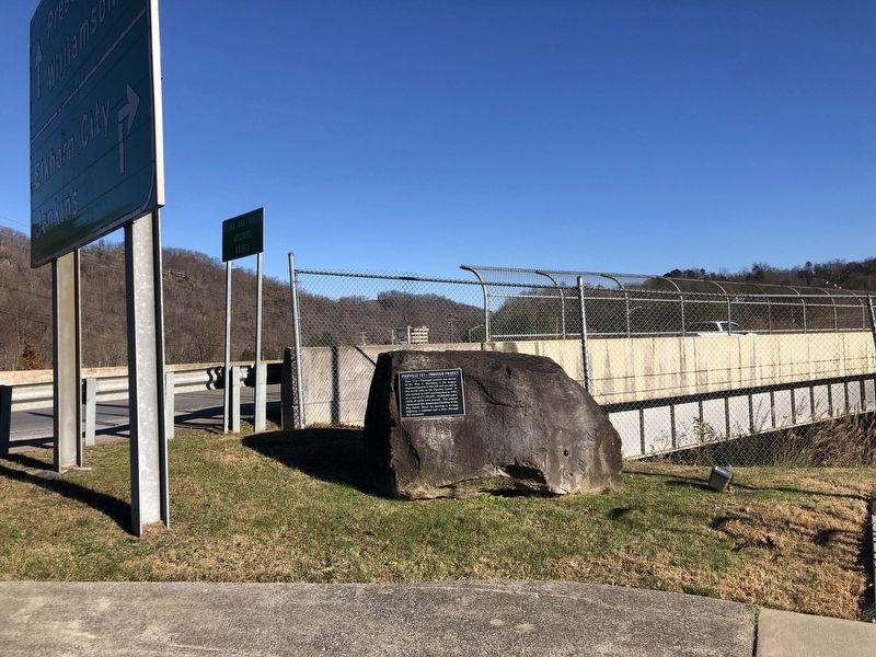
Location. 37° 28.718′ N, 82° 32.641′ W. Marker is in Pikeville, Kentucky, in Pike County. Marker is at the intersection of Cedar Creek Road (Kentucky Route 1384) and Bob Amos Drive, on the right when traveling east on Cedar Creek Road. Touch for map. Marker is in this post office area: Pikeville KY 41501, United States of America. Touch for directions.
Other nearby markers. At least 8 other markers are within 2 miles of this marker, measured as the crow flies. Trail of Fame (here, next to this marker); Pikeville Veterans Memorial Park (approx. 0.2 miles away); Chair of Honor (approx. 0.2 miles away); Pikeville Cut-Through (approx. half a mile away); Pauley Bridge (approx. 1.1 miles away); Feudists on Trial (approx. 1.2 miles away); Pikeville Collegiate Institute (approx. 1.2 miles away); Pikeville College (approx. 1.3 miles away). Touch for a list and map of all markers in Pikeville.
Also see . . .
1. Pikeville Cut-Through. Wikipedia entry on the project, one of the largest civil engineering projects in the western hemisphere. (Submitted on December 7, 2022, by Duane and Tracy Marsteller of Murfreesboro, Tennessee.)
2. Pikeville Cut-Through, Kentucky Drone Video. A bird's-eye view of the cut through Peach Orchard Mountain. (Ben Childers, uploaded Jan. 16, 2021) (Submitted on December 7, 2022, by Duane and Tracy Marsteller of Murfreesboro, Tennessee.)
Credits. This page was last revised on March 26, 2024. It was originally submitted on December 7, 2022, by Duane and Tracy Marsteller of Murfreesboro, Tennessee. This page has been viewed 206 times since then and 70 times this year. Photos: 1, 2. submitted on December 7, 2022, by Duane and Tracy Marsteller of Murfreesboro, Tennessee. 3. submitted on March 26, 2024, by William Fischer, Jr. of Scranton, Pennsylvania.


