Denison in Grayson County, Texas — The American South (West South Central)
Colbert's Ferry
Photographed by Jeff Leichsenring, November 27, 2022
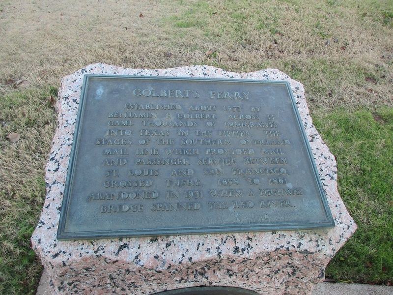
1. Colbert's Ferry Marker
Established about 1853 by Benjamin F. Colbert. Across it came thousands of immigrants into Texas in the fifties. The stages of the Southern Overland Mail Line, which provided mail and passenger service between St. Louis and San Francisco, crossed there, 1858 to 1861. Abandoned in 1931 when a highway bridge spanned the Red River.
Erected 1936 by Texas Historical Commission. (Marker Number 7351.)
Topics and series. This historical marker is listed in this topic list: Waterways & Vessels. In addition, it is included in the Texas 1936 Centennial Markers and Monuments series list.
Location. 33° 49.128′ N, 96° 32.146′ W. Marker is in Denison, Texas, in Grayson County. It is on U.S. 75 (U.S. 75) south of Franklin Drive, on the right when traveling south. US 69/75 at Texas Travel Information Center, 1 mi. S of the Red River. Touch for map. Marker is at or near this postal address: 6801 US-75, Denison TX 75020, United States of America. Touch for directions.

Regionally, this marker is in the Prairies & Lakes Region. It is also in the American South. Globally, it is in
this page online
Other nearby markers. At least 8 other markers are within 4 miles of this marker, measured as the crow flies: 1931 Free Bridge Controversy (here, next to this marker); Site of Colbert'S Ferry (approx. 1.1 miles away in Oklahoma); Lake Texoma (approx. 2.1 miles away); The Message Tree (approx. 2.2 miles away in Oklahoma); Red River Bridge (approx. 3 miles away in Oklahoma); a different marker also named Colbert's Ferry (approx. 3.1 miles away in Oklahoma); Site of Terrell High School (approx. 3.7 miles away); Joseph G. McCoy (approx. 3.9 miles away). Touch for a list and map of all markers in Denison.
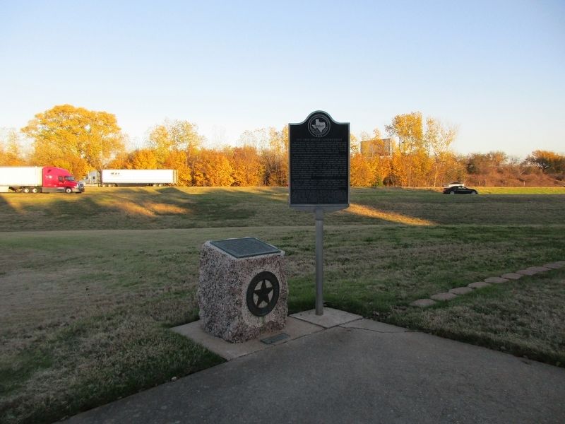
More about this marker. The marker is next to the 1931 Free Bridge Controversy marker.
Photographed by Jeff Leichsenring, November 27, 2022
2. Colbert's Ferry and 1931 Free Bridge Controversy Markers
Credits. This page was last revised on December 14, 2022. It was originally submitted on December 7, 2022, by Jeff Leichsenring of Garland, Texas. This page has been viewed 509 times since then and 48 times this year. Photos: 1, 2. submitted on December 7, 2022, by Jeff Leichsenring of Garland, Texas. • J. Makali Bruton was the editor who published this page.
