Fort Davis in Jeff Davis County, Texas — The American South (West South Central)
Granado Mountain
Photographed by Kayla Harper, July 6, 2023
1. Granado Mountain Marker
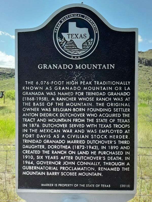
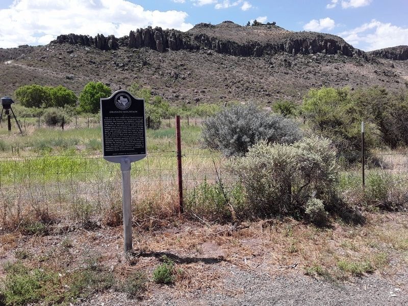
The 6,076-foot high peak traditionally known as Granado Mountain or La Granada was named for Trinidad Granado (1868-1958), a rancher whose ranch was at the base of the mountain. The original owner was Belgian-born founding settler Anton Diedrick Dutchover who acquired the tract and mountain from the State of Texas in 1876. Dutchover served with Texas troops in the Mexican War and was employed at Fort Davis as a civilian stock herder. Trinidad Granado married Dutchover's third daughter, Dorothea (1872-1943), in 1890 and created the ranch on land he purchased in 1910, six years after Dutchover's death. In 1964, Governor John Connally, through a gubernatorial proclamation, renamed the mountain Barry Scobee Mountain.
Erected 2015 by Texas Historical Commission. (Marker Number 18197.)
Topics. This historical marker is listed in these topic lists: Natural Features • Settlements & Settlers. A significant historical year for this entry is 1876.
Location. 30° 36.592′ N, 103° 52.741′ W. Marker is in Fort Davis, Texas, in Jeff Davis County. It is on State Highway 17 N one mile north of State Highway 118 N. Touch for map.
this page online

Regionally, this marker is in Texas’ Big Bend and in the Trans-Pecos. It is also in the American Borderlands and in the Southwest. Globally, it is in North America, a Gulf of Mexico state, the Western Hemisphere, the Western World, and the Anglosphere. Historically, it finds itself in what was once New Spain, the Republic of Texas, and one of the Confederate States of America.
Other nearby markers. At least 8 other markers are within 2 miles of this marker, measured as the crow flies: Barry Scobee Mountain (here, next to this marker); Supporting the Army (approx. one mile away); The Post Chapel (approx. one mile away); Legend - Fort Davis (approx. 1.1 miles away); Commanding Officer's Quarters (approx. 1.1 miles away); St. Joseph Catholic Church (approx. 1.2 miles away); Fort Davis (approx. 1.2 miles away); Food & Shelter (approx. 1.2 miles away). Touch for a list and map of all markers in Fort Davis.

Photographed by Jeff Leichsenring, October 8, 2022
2. Granado Mountain Marker
Photographed by Kayla Harper, July 6, 2023
3. Granado Mountain Marker
Photographed by Kayla Harper, July 6, 2023
4. Granado Mountain Marker
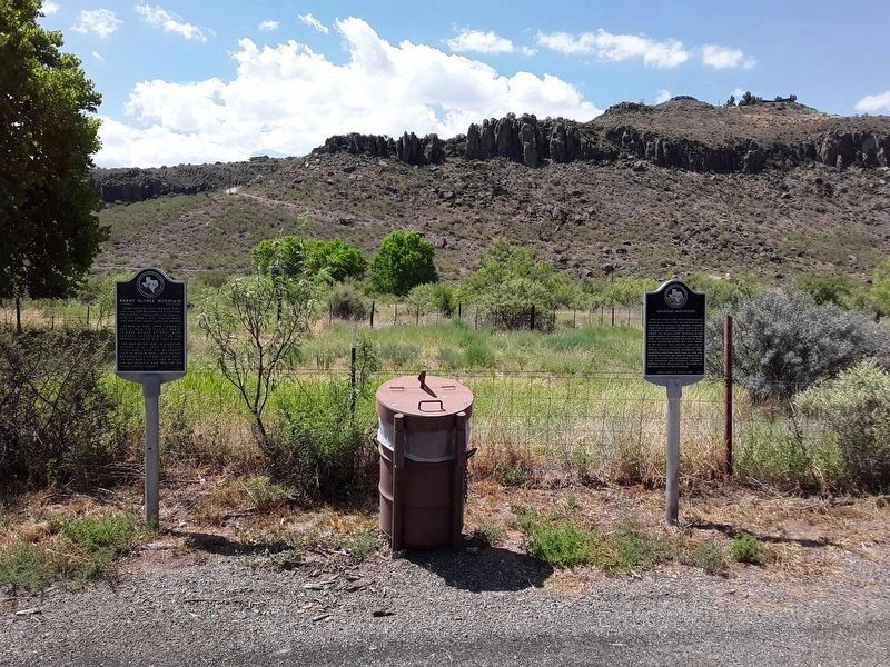
The Granado Mountain Marker is on the right. The Barry Scobee Mountain Marker is on the left.
Credits. This page was last revised on December 1, 2024. It was originally submitted on December 8, 2022, by Jeff Leichsenring of Garland, Texas. This page has been viewed 1,136 times since then and 98 times this year. Photos: 1. submitted on July 11, 2023, by Kayla Harper of Dallas, Texas. 2. submitted on December 8, 2022, by Jeff Leichsenring of Garland, Texas. 3, 4. submitted on July 11, 2023, by Kayla Harper of Dallas, Texas. • J. Makali Bruton was the editor who published this page.
