Wrightsville in Johnson County, Georgia — The American South (South Atlantic)
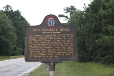
Old Sunbury Road
←—→
Erected 1956 by Georgia Historical Commission. (Marker Number 083-3.)
Topics and series. This historical marker is listed in these topic lists: Roads & Vehicles • Settlements & Settlers. In addition, it is included in the Georgia Historical Society series list.
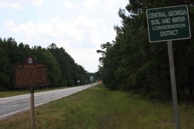
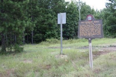
Location. 32° 49.254′ N, 82° 30.573′ W. Marker is in Wrightsville, Georgia, in Johnson County. Marker is on U.S. 319, on the right when traveling south. Located at the Jefferson-Johnson County line. Touch for map. Marker is in this post office area: Wrightsville GA 31096, United States of America. Touch for directions.
Other nearby markers. At least 8 other markers are within 6 miles of this marker, measured as the crow flies. A different marker also named Old Sunbury Road (approx. 0.9 miles away); Claxton Historic Burial Site (approx. 2.8 miles away); Old Savannah Road (approx. 3.3 miles away); Site of Fort Wood (approx. 4˝ miles away); Spier's Turnout (approx. 4˝ miles away); Bartow (approx. 4˝ miles away); Historic Highways (approx. 5.2 miles away); General Wood's Fort (approx. 5.3 miles away). Touch for a list and map of all markers in Wrightsville.
Related markers. Click here for a list of markers that are related to this marker. more Sunbury Road markers shown.
Credits. This page was last revised on June 16, 2016. It was originally submitted on July 29, 2009, by Mike Stroud of Bluffton, South Carolina. This page has been viewed 928 times since then and 28 times this year. Photos: 1, 2, 3. submitted on July 29, 2009, by Mike Stroud of Bluffton, South Carolina. • Craig Swain was the editor who published this page.


