Placerville in El Dorado County, California — The American West (Pacific Coastal)
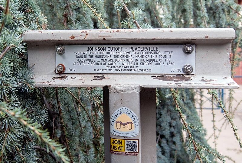
Johnson Cutoff Trail - Placerville
Erected 2014 by Trails West, Inc. (Marker Number JC-30.)
Topics and series. This historical marker is listed in these topic lists: Roads & Vehicles • Settlements & Settlers. In addition, it is included in the California Trail series list. A significant historical date for this entry is August 5, 1850.
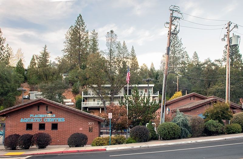
Location. 38° 43.5′ N, 120° 48.1′ W. Marker is in Placerville, California, in El Dorado County. Marker can be reached from Benham Street, on the left when traveling south. Touch for map. Marker is at or near this postal address: 3071 Benham Street, Placerville CA 95667, United States of America. Touch for directions.
Other nearby markers. At least 8 other markers are within walking distance of this marker. Carson Trail - Placerville (here, next to this marker); "Stone House" (about 700 feet away, measured in a direct line); John A. "Snowshoe" Thompson (approx. 0.2 miles away); Placerville Pony Express (approx. 0.2 miles away); Snowshoe Thompson (approx. 0.2 miles away); Bayles Building (1853) (approx. ¼ mile away); The Forum Café / Union Hotel / United States Trio Hall / The Forum Café / The Blue Bell Café (approx. ¼ mile away); Hangmans Tree (approx. ¼ mile away). Touch for a list and map of all markers in Placerville.
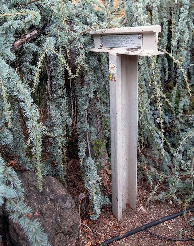
More about this marker. The Carson Trail and the Johnson Cutoff Trail intersected here. The inscription for Carson Trail Marker 69 is on the other side of this T-marker.
The marker is next to the sidewalk, but it is obscured by perennial landscaping.
Credits. This page was last revised on December 19, 2022. It was originally submitted on December 12, 2022, by Alvis Hendley of San Francisco, California. This page has been viewed 99 times since then and 21 times this year. Photos: 1, 2, 3. submitted on December 12, 2022, by Alvis Hendley of San Francisco, California. • Bill Pfingsten was the editor who published this page.


