Pineville in Bell County, Kentucky — The American South (East South Central)
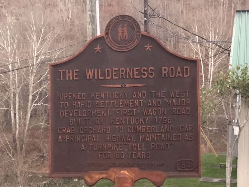
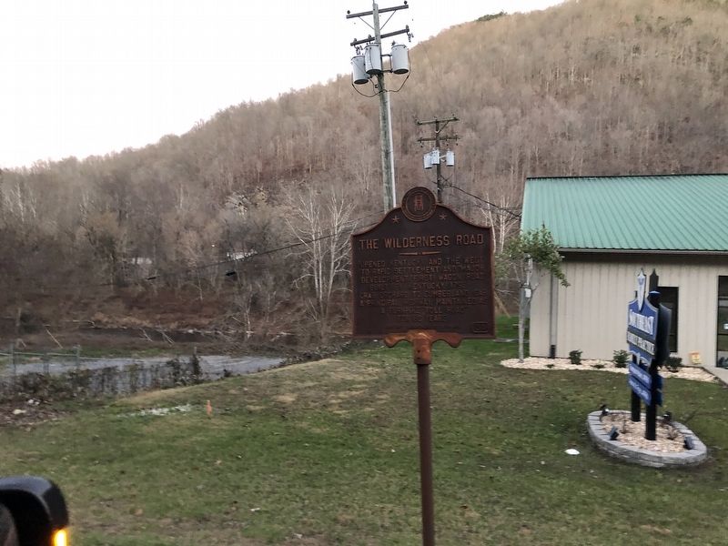
The Wilderness Road
Erected by Kentucky Department of Highways. (Marker Number 54.)
Topics and series. This historical marker is listed in this topic list: Roads & Vehicles. In addition, it is included in the Kentucky Historical Society series list. A significant historical year for this entry is 1796.
Location. 36° 45.377′ N, 83° 41.606′ W. Marker is in Pineville, Kentucky, in Bell County. Marker is on Bob Madon Bypass (U.S. 25E) south of Park Avenue, on the left when traveling south. Touch for map. Marker is at or near this postal address: 12904 Bob Madon Bypass, Pineville KY 40977, United States of America. Touch for directions.
Other nearby markers. At least 8 other markers are within walking distance of this marker. Chained Rock (approx. 0.3 miles away); Mountain Gateway (approx. 0.4 miles away); Bell County War Dead Memorial (approx. 0.4 miles away); Joshua Fry Bell (approx. 0.4 miles away); Daniel Boone's Trail (approx. 0.4 miles away); Cumberland Ford (approx. half a mile away); Wilderness Road Cemetery (approx. 0.9 miles away); Wallsend Mine (approx. 0.9 miles away). Touch for a list and map of all markers in Pineville.
Credits. This page was last revised on December 14, 2022. It was originally submitted on December 14, 2022, by Duane and Tracy Marsteller of Murfreesboro, Tennessee. This page has been viewed 150 times since then and 24 times this year. Photos: 1, 2. submitted on December 14, 2022, by Duane and Tracy Marsteller of Murfreesboro, Tennessee.

