Fort Saskatchewan, Alberta — Canada’s Prairie Region (North America)
The Native Peoples
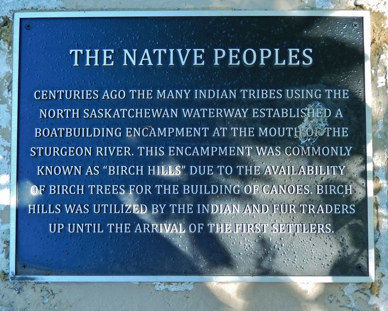
Centuries ago the many Indian tribes using the North Saskatchewan waterway established a boatbuilding encampment at the mouth of the Sturgeon River. This encampment was commonly known as “Birch Hills” due to the availability of Birch trees for the building of canoes. Birch Hills was utilized by the Indian and fur traders up until the arrival of the first settlers.
Topics. This historical marker is listed in these topic lists: Industry & Commerce • Native Americans • Waterways & Vessels.
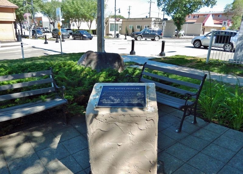
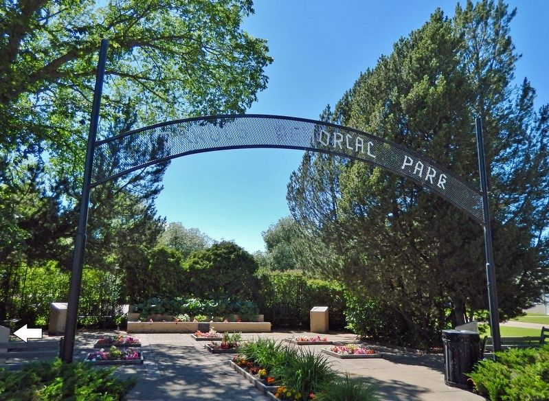
Location. 53° 42.711′ N, 113° 12.913′ W. Marker is in Fort Saskatchewan, Alberta. Marker can be reached from the intersection of 101 Street and 100 Avenue, on the right when traveling south. Marker is located at the Jarvis Memorial Park entrance. Touch for map. Marker is at or near this postal address: 10004 101 Street, Fort Saskatchewan AB T8L 1V9, Canada. Touch for directions.
Other nearby markers. At least 5 other markers are within walking distance of this marker. The North-West Mounted Police (here, next to this marker); Jarvis Memorial Park (a few steps from this marker); The First Missionaries (a few steps from this marker); The First Settlers (a few steps from this marker); Fort Saskatchewan (about 150 meters away, measured in a direct line).
Related markers. Click here for a list of markers that are related to this marker. Jarvis Memorial Park
Also see . . . Fort Saskatchewan.
Prior to colonization of the region, the area around what is now Fort Saskatchewan was a gathering place and home for many Indigenous nations, including the Cree (Néhinaw) and Nakota. Indigenous Peoples of the region commonly traveled the North Saskatchewan River by canoe. The mouth of the Sturgeon River, located near modern-day Fort Saskatchewan's industrial business park, was an ideal location to gather the materials necessary to construct canoes. The area of modern-day Fort Saskatchewan was called "Birch Hills", as birch bark was an important component in canoe making.(Submitted on December 16, 2022, by Cosmos Mariner of Cape Canaveral, Florida.)
Credits. This page was last revised on December 16, 2022. It was originally submitted on December 16, 2022, by Cosmos Mariner of Cape Canaveral, Florida. This page has been viewed 83 times since then and 15 times this year. Photos: 1, 2, 3. submitted on December 16, 2022, by Cosmos Mariner of Cape Canaveral, Florida.


