Near Pollock Pines in El Dorado County, California — The American West (Pacific Coastal)
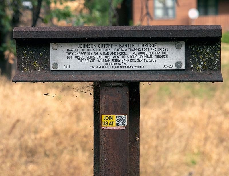
Johnson Cutoff - Bartlett Bridge
Photographed by Alvis Hendley, October 18, 2022
1. Johnson Cutoff - Bartlett Bridge
Erected 2011 by Trails West, Inc. (Marker Number JC-23.)
Topics and series. This historical marker is listed in these topic lists: Roads & Vehicles • Settlements & Settlers. In addition, it is included in the California Trail series list. A significant historical date for this entry is September 13, 1852.
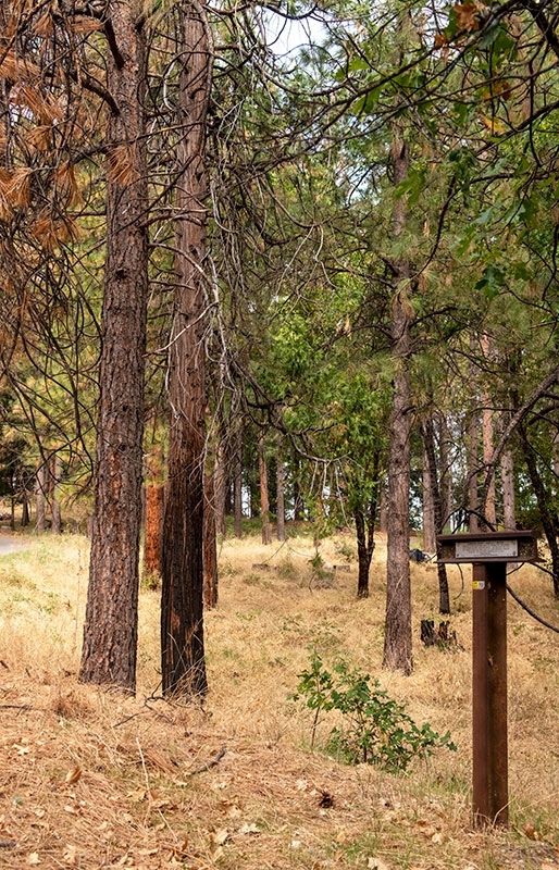
Location. 38° 45.652′ N, 120° 31.28′ W. Marker is near Pollock Pines, California, in El Dorado County. It can be reached from Dubasary Lane. Marker is located in the El Dorado National Forest just north of US-50 where Dubasary Lane forks at the entrance to the Pacific Ranger Station. Touch for map. Marker is in this post office area: Pollock Pines CA 95726, United States of America. Touch for directions.

Regionally, this marker is in Sacramento Metro and in the Sierra Nevada. It is also in the American Mountain West. Globally, it is in North America, on the Ring of Fire, on the Pacific
this page online
Other nearby markers. At least 8 other markers are within 3 miles of this marker, measured as the crow flies: Johnson Cutoff - Fresh Pond (approx. half a mile away); Carson Trail - Junction (approx. 1.4 miles away); Cutoff to Johnson Ranch and Placerville (approx. 1.4 miles away); In Memory of the Bravery of Our Pioneer Officers (approx. 2.1 miles away); Logging in El Dorado County (approx. 3.1 miles away); The California Gold Rush (approx. 3.1 miles away); The Mormon Emigrant Trail (approx. 3.1 miles away); Bullion Bend Robbery (approx. 3.1 miles away). Touch for a list and map of all markers in Pollock Pines.
Another marker is no longer nearby. The Pony Express (was approx. 3.1 miles away but has been confirmed missing).
Photographed by Alvis Hendley, October 18, 2022
2. Johnson Cutoff - Bartlett Bridge
Photographed by Alvis Hendley, October 22, 2022
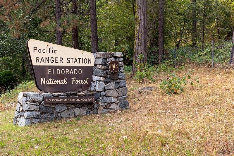
3. Pacific Ranger Station
Marker is located near the entrance to the ranger station.
Credits. This page was last revised on December 26, 2022. It was originally submitted on December 16, 2022, by Alvis Hendley of San Francisco, California. This page has been viewed 314 times since then and 33 times this year. Photos: 1, 2, 3. submitted on December 16, 2022, by Alvis Hendley of San Francisco, California. • Bill Pfingsten was the editor who published this page.
