Shiloh in Hardin County, Tennessee — The American South (East South Central)
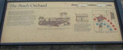
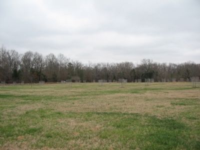
The Peach Orchard
A Union soldier who faced the Confederate onslaught described the heavy artillery fire: "Everywhere around us the storm began to rage: shot, shell... canister came howling and whistling through our lines. The very trees seemed to protest against it. Missiles flew everywhere."
Successive Confederate infantry charges finally broke the blue line, and Federals retreated in disorder back toward Pittsburg Landing. The next day, however, a reinforced Union army won this ground back.
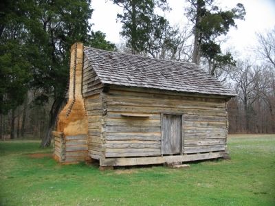
Manse George Cabin
At the time of the battle, this land was owned and farmed by the W. Manse George family. When the fighting started, the family fled. Later they returned to find their home burned and possessions destroyed.
After the battle, a cabin from another part of the battlefield was moved here to replace the one swept away by war. The short path to your right leads to this historic building.
Topics. This historical marker is listed in this topic list: War, US Civil.
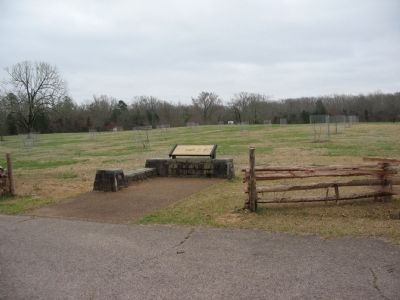
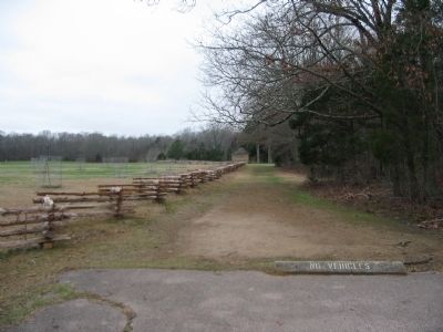
Location. 35° 7.944′ N, 88° 19.911′ W. Marker is in Shiloh, Tennessee, in Hardin County. Marker is on Hamburg-Savannah Road, on the left when traveling north. Located at stop 13, the peach orchard, of the driving tour of Shiloh National Military Park. Touch for map. Marker is in this post office area: Shiloh TN 38376, United States of America. Touch for directions.
Other nearby markers. At least 8 other markers are within walking distance of this marker. Fighting Consumes Bell's Farm (here, next to this marker); 61st Illinois Infantry (within shouting distance of this marker); Bowen's Brigade (about 300 feet away, measured in a direct line); Return to Bell's Farm (about 400 feet away); 28th Illinois Infantry (about 400 feet away); Bloody Pond (about 400 feet away); 2nd Iowa Infantry (about 500 feet away); Mann's Battery (about 500 feet away). Touch for a list and map of all markers in Shiloh.
More about this marker. In the center is a drawing depicting the fighting in the peach orchard. Union troops under Brig. Gen. Stephen A. Hurlbut held back the Confederate tide for several hours at the peach orchard. Losses were heavy on both sides. To the right is a drawing depicting the George cabin and a map showing the locations of the respective sides at this phase of the battle - the afternoon of April 6, 1862. At the top of the marker is a time line indicating the length of the battle and when the fighting in the Peach Orchard occurred.
Credits. This page was last revised on June 16, 2016. It was originally submitted on July 30, 2009, by Craig Swain of Leesburg, Virginia. This page has been viewed 2,137 times since then and 72 times this year. Photos: 1. submitted on July 30, 2009, by Craig Swain of Leesburg, Virginia. 2. submitted on July 31, 2009, by Craig Swain of Leesburg, Virginia. 3, 4, 5, 6. submitted on July 30, 2009, by Craig Swain of Leesburg, Virginia.
