Near Calwood in Callaway County, Missouri — The American Midwest (Upper Plains)
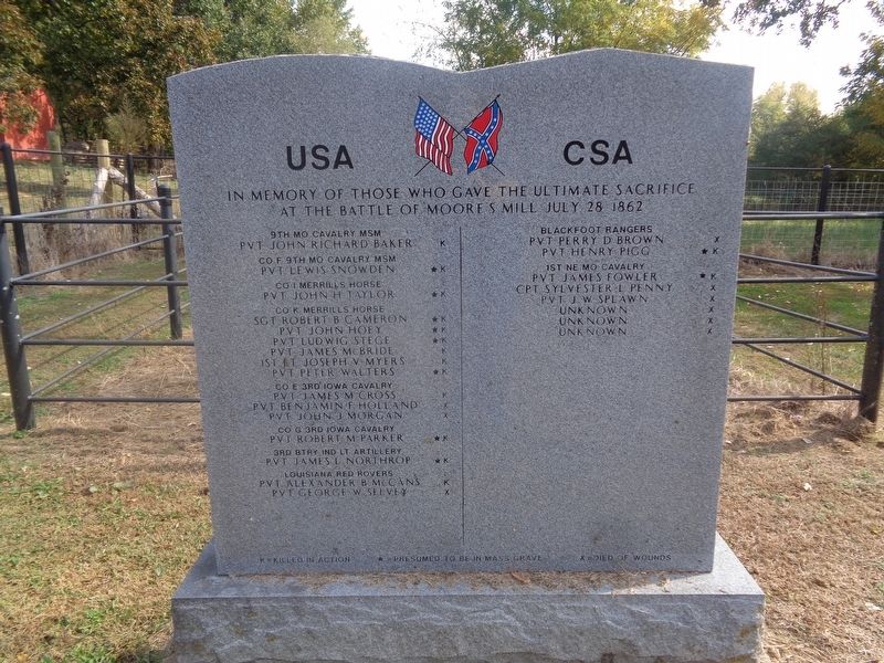
Battle of Moore's Mill Memorial
9th MO Cavalry MSM
John Richard Baker (K)
Co F 9th MO Cavalry MSM
Pvt Lewis Snowden •(K)
Co I Merrills Horse
Pvt John H Taylor •(K)
Co K Merrills Horse
Robert B Cameron •(K)
Pvt John Hoey •(K)
Pvt Ludwig Stege •(K)
Pvt James McBride (K)
1st Lt Joseph V Myers (K)
Pvt Peter Walters •(K)
Co E 3rd Iowa Cavalry
Pvt James M Cross (K)
Pvt Benjamin F. Holland (X)
Pvt John J. Morgan (X)
Co G 3rd Iowa Cavalry
Pvt Robert M Parker •(K)
3rd Btry Ind Lt Artillery
Pvt James L. Northrop •(K)
Louisiana Red Rovers
Pvt Alexander B. McCans (K)
Pvt George W. Seevey (X)
CSA
Blackfoot Rangers
Pvt Perry D. Brown (X)
Pvt Henry Pigg •(k)
1st NEMO Cavalry
Pvt James Fowler •(K)
Cpt Sylvester L. Penny (X)
Pvt J.W. Splawn (X)
Unknown (X)
Unknown (X)
Unknown (X)
(K)-killed in action
(X)-died of wounds
•-presumed to be in mass grave
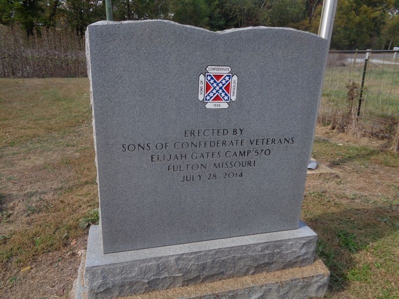
Erected 2014 by Sons of Confederate Veteans (Elijah Gates Camp 570).
Topics. This memorial is listed in this topic list: War, US Civil.
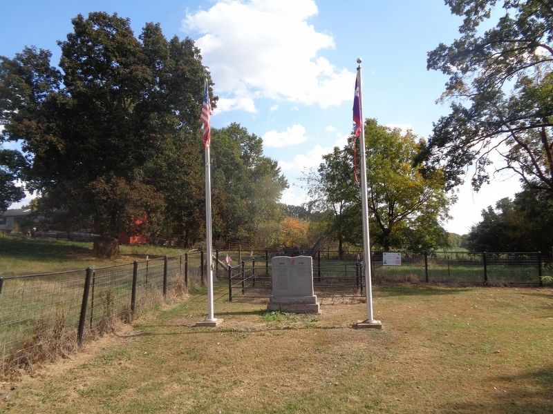
Location. 38° 54.891′ N, 91° 51.633′ W. Marker is near Calwood, Missouri, in Callaway County. Memorial is on Missouri Route Z, half a mile west of Missouri Route JJ, on the right when traveling east. Touch for map. Marker is at or near this postal address: 7327 State Hwy Z, Fulton MO 65251, United States of America. Touch for directions.
Other nearby markers. At least 8 other markers are within 6 miles of this marker, measured as the crow flies. The Battle of Moore's Mill Mass Grave (here, next to this marker); The Battle of Moore's Mill (approx. 0.6 miles away); a different marker also named The Battle of Moore's Mill (approx. 0.6 miles away); a different marker also named The Battle of Moore's Mill (approx. 0.6 miles away); Jones Tan Yard - 1820 (approx. 1˝ miles away); Old Auxvasse Cemetery (approx. 2˝ miles away); Grant's Stage Stand - 1821 (approx. 5.3 miles away); Fulton Country Club (approx. 5.7 miles away). Touch for a list and map of all markers in Calwood.
Credits. This page was last revised on December 19, 2022. It was originally submitted on December 19, 2022, by Jason Voigt of Glen Carbon, Illinois. This page has been viewed 159 times since then and 38 times this year. Photos: 1, 2, 3. submitted on December 19, 2022, by Jason Voigt of Glen Carbon, Illinois.


