Historic District in St. Augustine in St. Johns County, Florida — The American South (South Atlantic)
Juan de Ribera / Juan de Rivera
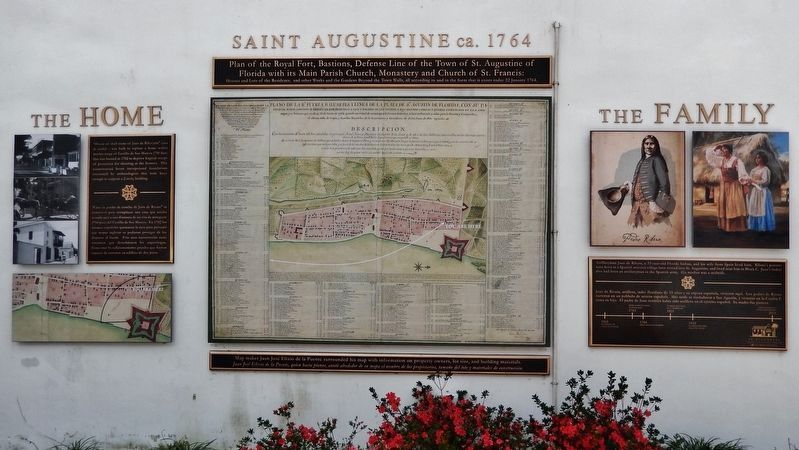
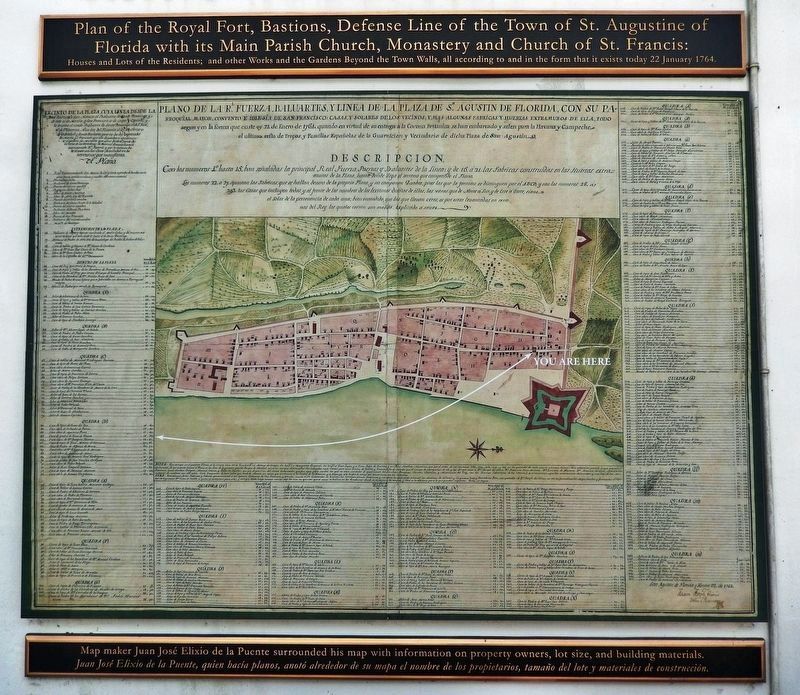
Saint Augustine ca. 1764
— The Home • The Family —
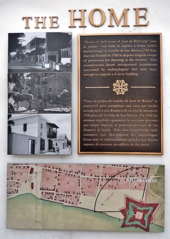
The Home
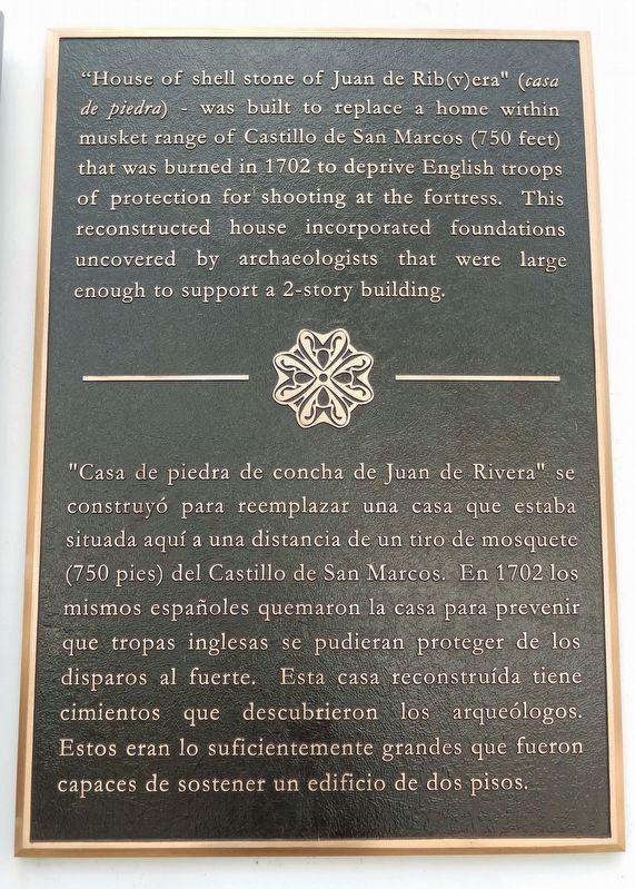
"House of shell stone of Juan de Rib(v)era" (casa de piedra) - was built to replace a home within musket range of Castillo de San Marcos (750 feet) that was burned in 1702 to deprive English troops of protection for shooting at the fortress. This reconstructed house incorporated foundations uncovered by archaeologists that were large enough to support a 2-story building.
The Family
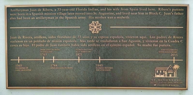
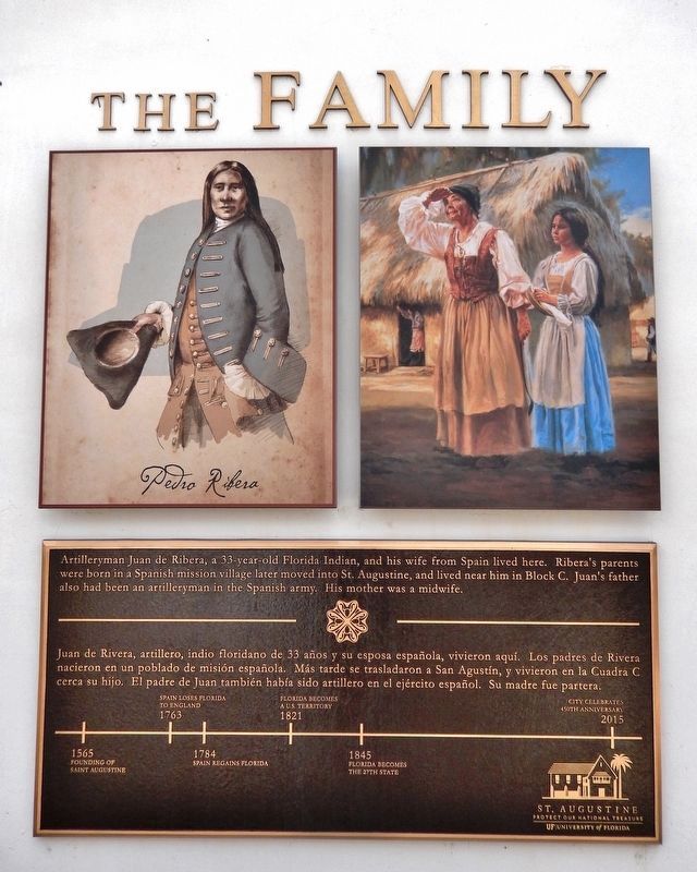
Artilleryman Juan de Ribera, a 33-year-old Florida Indian, and his wife from Spain lived here. Ribera's parents were born in a Spanish mission village later moved into St. Augustine, and lived near him in Block C. Juan's father also had been an artilleryman in the Spanish army. His mother was a midwife.
1763 • Spain Loses Florida to England
1784 • Spain Regains Florida
1821 • Florida Becomes a U.S. Territory
1845 • Florida Becomes the 27th State
2015 • City Celebrates 450th Anniversary
Erected by City of St. Augustine; and University of Florida.
Topics. This historical marker is listed in these topic lists: Anthropology & Archaeology • Architecture • Colonial Era • Settlements & Settlers. A significant historical year for this entry is 1764.
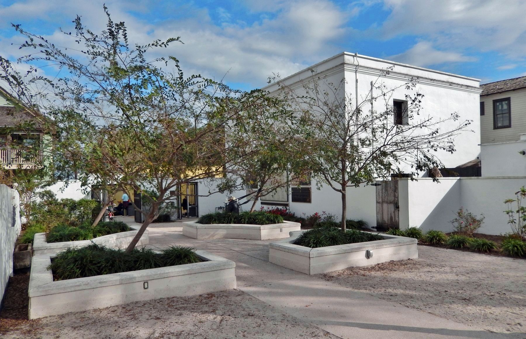
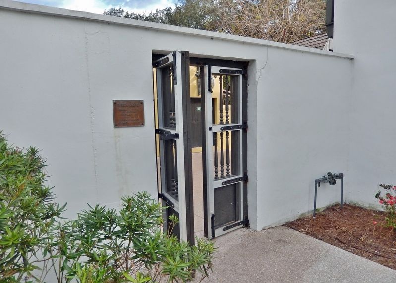
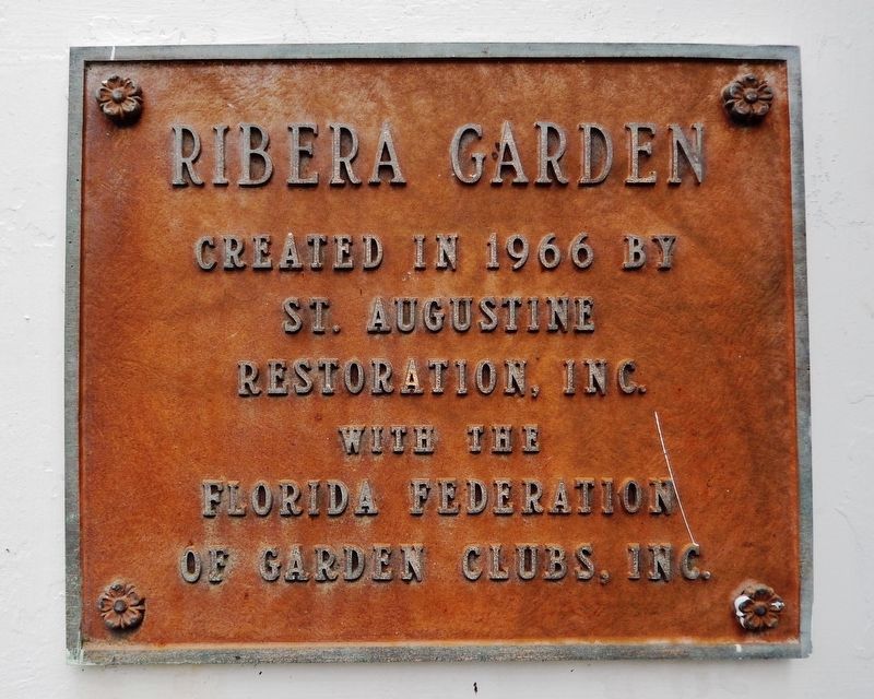
Location. 29° 53.818′ N, 81° 18.808′ W. Marker is in St. Augustine, Florida, in St. Johns County. It is in the Historic District. Marker is on Saint George Street just south of Fort Alley, on the right when traveling south. Marker is mounted well above eye-level on the north wall of the 2-story building at this address, overlooking the Ribera Courtyard and Garden. Touch for map. Marker is at or near this postal address: 22 Saint George Street, Saint Augustine FL 32084, United States of America. Touch for directions.
Other nearby markers. At least 8 other markers are within walking distance of this marker. Gallegos House (a few steps from this marker); Ribera House (a few steps from this marker); Gomez House (a few steps from this marker); Triay House (within shouting distance of this marker); Florencia House (within shouting distance of this marker); Every Drop Counts (within shouting distance of this marker); British Colonial Hygiene (within shouting distance of this marker); General Biassou House (within shouting distance of this marker). Touch for a list and map of all markers in St. Augustine.
Photographed By Cosmos Mariner, December 19, 2022
6. Marker detail: Saint Augustine ca. 1764
Plan of the Royal Fort, Bastions, Defense Line of the Town of St. Augustine of Florida with its Main Parish Church, Monastery and Church of St. Francis:
Houses and Lots of the Residents; and other Works and the Gardens Beyond the Town Walls, all according to and in the form that it exists today 22 January 1764————— Map maker Juan José Elixio de la Puente surrounded his map with information on property owners, lot size, and building materials.————— Juan José Elixio de la Puente, quien bacía planos, anotó alrededor de su mapa el nombre de los propietarios, tamaño del lote y materiales de construcción.
Houses and Lots of the Residents; and other Works and the Gardens Beyond the Town Walls, all according to and in the form that it exists today 22 January 1764
Credits. This page was last revised on December 19, 2022. It was originally submitted on December 19, 2022, by Cosmos Mariner of Cape Canaveral, Florida. This page has been viewed 181 times since then and 28 times this year. Photos: 1, 2, 3, 4, 5, 6, 7, 8, 9. submitted on December 19, 2022, by Cosmos Mariner of Cape Canaveral, Florida.
