Savage in Howard County, Maryland — The American Northeast (Mid-Atlantic)
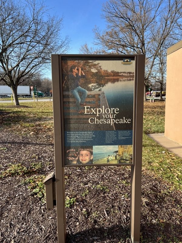
Explore Your Chesapeake
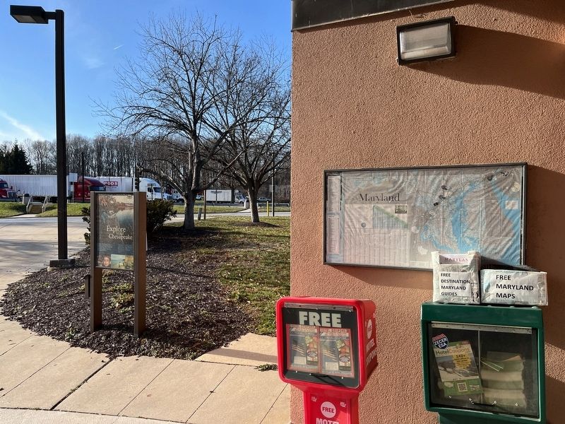
Let us be your guide. Take a map of these special places, talk to a travel counselor and explore to a travel counselor and explore your Chesapeake!
Visit us at www.baygates.net or call 1-866-BAYWAYS.
Erected by Chesapeake Bays Gateways Network.
Topics. This historical marker is listed in these topic lists: Parks & Recreational Areas • Waterways & Vessels.
Location. 39° 8.465′ N, 76° 50.699′ W. Marker is in Savage, Maryland, in Howard County. Marker is on Interstate 95. Touch for map. Marker is at or near this postal address: I-95, Laurel MD 20723, United States of America. Touch for directions.
Other nearby markers. At least 8 other markers are within one mile of this marker, measured as the crow flies. Maryland Purple Heart Trail (within shouting distance of this marker); Explore your Chesapeake (approx. 0.3 miles away); Governor Harry R. Hughes (approx. 0.3 miles away); a different marker also named Maryland Purple Heart Trail (approx. 0.3 miles away); This Survey Point (approx. 0.9 miles away); Millworkers House (approx. one mile away); Historic Savage Mill (approx. one mile away); 9051-9053 Baltimore Street (approx. one mile away). Touch for a list and map of all markers in Savage.
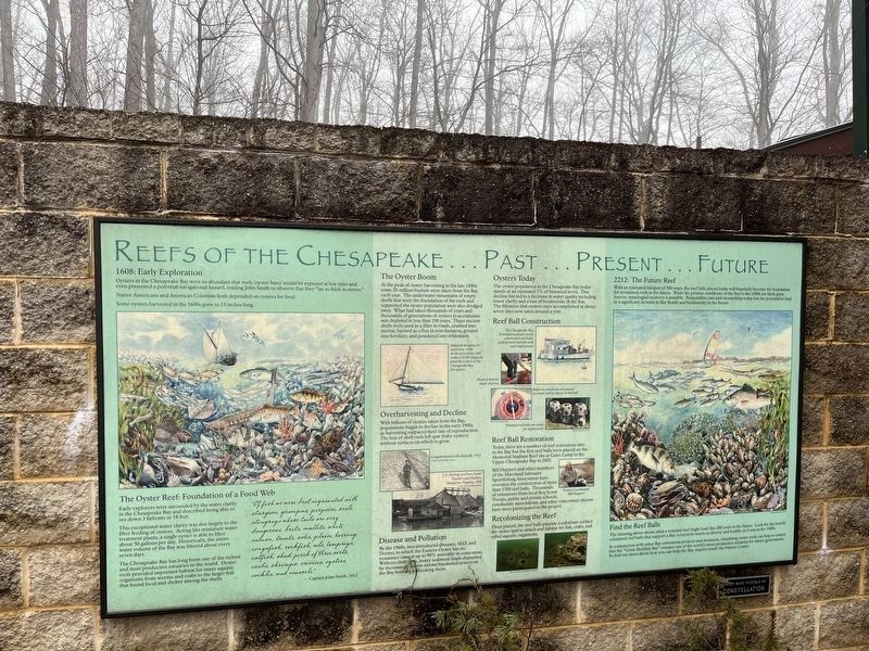
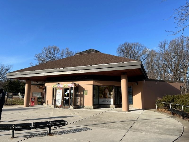
More about this marker. This listing is for the marker located at the northbound rest area from Washington to Baltimore. There is an identical marker at the southbound rest area across the interstate.
Credits. This page was last revised on January 24, 2023. It was originally submitted on December 19, 2022, by Adam Margolis of Mission Viejo, California. This page has been viewed 65 times since then and 5 times this year. Photos: 1. submitted on December 19, 2022, by Adam Margolis of Mission Viejo, California. 2. submitted on January 2, 2023, by Adam Margolis of Mission Viejo, California. 3, 4. submitted on December 19, 2022, by Adam Margolis of Mission Viejo, California. • Bill Pfingsten was the editor who published this page.


