Near Mineola in Montgomery County, Missouri — The American Midwest (Upper Plains)
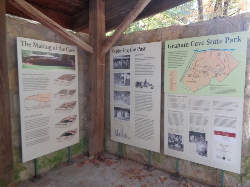
Exploring the Past
Archaeology
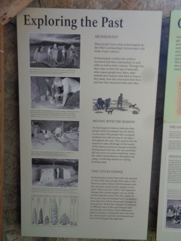
Many people know what archaeologists do. But what is archaeology? Archaeology is the study of past cultures.
Archaeologists examine the artifacts recovered and their relationships to each other as well as their contexts. Through this, they come to learn the age of materials, what season people were there, what animals they hunted, what kind of houses they made, how they structured their lives and how they interacted with each other.
Moving with the Seasons
Archaeological evidence indicates that people lived in Graham Cake for about 10,000 years. The people who occupied Graham Cave did not stay in one place throughout the year. They moved with the seasons to take advantage of the bounty of the land as resources became available. During most of its use, the cave probably did not serve as a year-round base camp, but rather functioned as a fall gathering camp, a wintering station or a spring hunting camp.
Tool Styles Change
Archaeologists break down the vast amount of time from when people first came to the Americas until contact with Europeans into time periods, based on the change in tool styles. These are not "tribes" but represent changes that archaeologists can see in the archaeologist record. Over the course of the 10,000 years of Graham Cave's occupancy, tools that were left by the people changed as time passed. Tool forms changed in response to different uses of the environment and how people used them. These differences allow scientists to determine how old tools are, how people used the environment and how tools changed through time.
(photo captions:)
·Carl Chapman, PH D., located on the left, wears a pith helmet. He always wore this helmet during his excavations.
·While shovels and wheelbarrows may be used for removing the top layers of dirt, trowels, fine-bristle brushes and other small tools must be used to carefully and patiently uncover the storytelling artifacts.
·Paper sacks and wheelbarrows are marked with a number for documentation and then filled during excavations.
·A grid system is used to accurately define and map an archaeological site. The white stakes in the cave are part of the grid from past excavations.
Topics. This historical marker is listed in these topic lists: Anthropology & Archaeology • Parks & Recreational Areas.
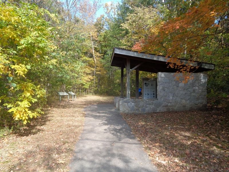
Location. 38° 54.259′ N, 91° 34.485′ W. Marker is near Mineola, Missouri, in Montgomery County. Marker can be reached from Missouri Route TT. Marker can be found at a shelter located next to a large parking lot at the south end of Graham Cave State Park grounds. Touch for map. Marker is at or near this postal address: US-40, Montgomery City MO 63361, United States of America. Touch for directions.
Other nearby markers. At least 8 other markers are within 10 miles of this marker, measured as the crow flies. Archaeology of the Cave (here, next to this marker); Danville Female Academy (approx. 2.2 miles away); The Historic Boonslick Region (approx. 2.2 miles away); Montgomery City Veterans Memorial (approx. 5.8 miles away); Montgomery County War Memorial (approx. 6.4 miles away); Davault Tavern - 1828 (approx. 6.6 miles away); Gateway to the Boone's Lick (approx. 6.9 miles away); Lewiston - 1826 (approx. 9.4 miles away).
Credits. This page was last revised on December 20, 2022. It was originally submitted on December 20, 2022, by Jason Voigt of Glen Carbon, Illinois. This page has been viewed 85 times since then and 14 times this year. Photos: 1, 2, 3. submitted on December 20, 2022, by Jason Voigt of Glen Carbon, Illinois.


