Ardmore in Carter County, Oklahoma — The American South (West South Central)
Civilian Conservation Corps and Lake Murray State Park
Ardmore, Oklahoma
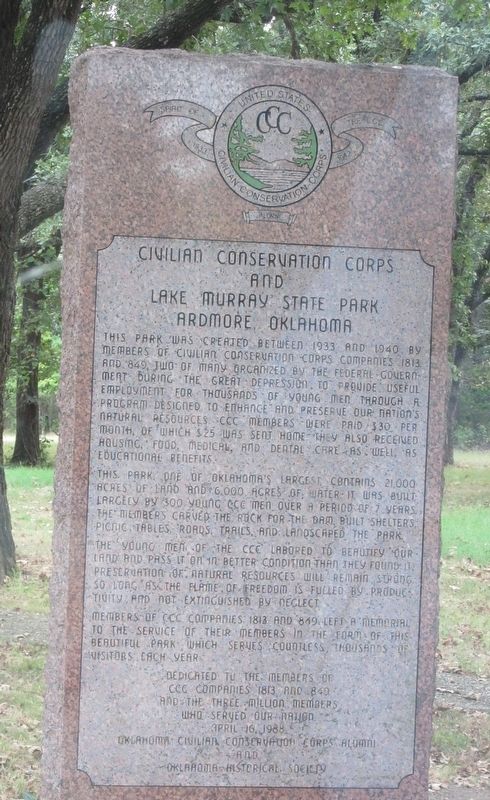
Photographed by Jason Armstrong, August 29, 2015
1. Civilian Conservation Corps and Lake Murray State Park Marker
This park was created between 1933 and 1940 by members of Civilian Conservation Corps Companies 1813 and 849, two of many organized by the federal government during the Great Depression. To provide useful employment for thousands of young men through a program designed to enhance and preserve our nation's natural resources, CCC members were paid $30 per month, of which $25 was sent home. They also received housing, food, medical, and dental care as well as educational benefits.
This park, one of Oklahoma's largest, contains 21,000 acres of land and 6,000 acres of water. It was built largely by 300 young CCC men over a period of 7 years. The members carved the rock for the dam, built shelters, picnic tables, roads, trails, and landscaped the park.
The young men of the CCC labored to beautify our land and pass it on in better condition than they found it. Preservation of natural resources will remain strong so long as the flame of freedom is fueled by productivity and not extinguished by neglect.
Members of CCC Companies 1813 and 849 left a memorial to the service of their members in the form of this beautiful park which serves countless thousands of visitors each year.
Dedicated to the members of CCC Companies 1813 and 849 and the three million members who served out nation
April 16, 1988
Erected 1988 by Oklahoma Civilian Conservation Corps Alumni and Oklahoma Historical Society.
Topics. This historical marker is listed in these topic lists: Charity & Public Work • Parks & Recreational Areas. A significant historical year for this entry is 1933.
Location. 34° 7.998′ N, 97° 6.473′ W. Marker is in Ardmore, Oklahoma, in Carter County. It is on Scenic State Highway 77 south of U.S. 70, on the right when traveling south. Touch for map. Marker is in this post office area: Ardmore OK 73401,
this page online

Regionally, this marker is in the Chickasaw Nation and in South Central Oklahoma—Chickasaw Country. It is also in the American South, specifically on the prairies, and on the Southern Plains. Globally, it is in North America, the Western Hemisphere, the Western World, and the Anglosphere. Historically, it finds itself in what was once the territory of the Mississippian Culture and also the Louisiana Purchase.
Other nearby markers. At least 8 other markers are within 3 miles of this marker, measured as the crow flies: The Original Whittington Hotel (approx. 2.9 miles away); Daubes’ Store (approx. 2.9 miles away); Killing of US Marshal Dow Braziel (approx. 2.9 miles away); First Carter County Courthouse Sidewalk (approx. 3 miles away); Carter County (approx. 3 miles away); Masonic Temple 1896 (approx. 3 miles away); Carter County Courthouse (approx. 3 miles away); Simpson-Little-Colston Building (approx. 3 miles away). Touch for a list and map of all markers in Ardmore.
Credits. This page was last revised on December 22, 2022. It was originally submitted on December 22, 2022, by Jason Armstrong of Talihina, Oklahoma. This page has been viewed 585 times since then and 56 times this year. Photo 1. submitted on December 22, 2022, by Jason Armstrong of Talihina, Oklahoma. • J. Makali Bruton was the editor who published this page.
Editor’s want-list for this marker. A wide view photo of the marker and the surrounding area together in context. • Can you help?
