Schuylkill Banks in Philadelphia in Philadelphia County, Pennsylvania — The American Northeast (Mid-Atlantic)
Schuylkill Expressway
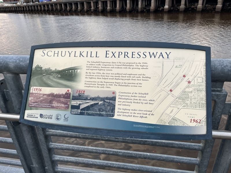
The Schuylkill Expressway (later I-76) was proposed in the 1940s to address traffic congestion in Central Philadelphia. The highway linked industry, business and residents with the growing suburbs and regional highway system.
By the late 1930s, the river was polluted and unpleasant and the riverfront across from here was mostly lined with rail yards. Building the highway there helped avoid displacing people from their homes.
Construction on the Expressway began at the junction of Pennsylvania Turnpike in 1949. The Philadelphia section was completed in the early 1960s.
Construction of the Schuylkill Expressway further isolated Philadelphians from the river, which was previously blocked by rail lines and industry.
The highway makes river-oriented development on the west bank of the tidal Schuylkill River difficult.
[Captions:]
1936 Underutilized industrial land and rail yards along the Schuylkill between South and Walnut Streets.
1959 Construction of the Schuylkill Expressway, looking north from South Street.
Erected by U.S. Department of Transportation; Pennsylvania Department of Transportation;
this page online
Topics. This historical marker is listed in this topic list: Roads & Vehicles. A significant historical year for this entry is 1949.
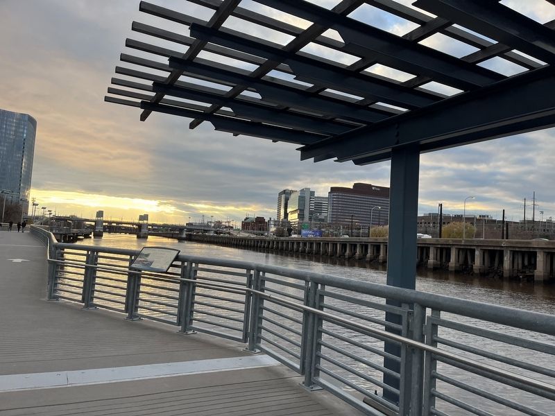
Location. 39° 56.967′ N, 75° 10.985′ W. Marker is in Philadelphia, Pennsylvania, in Philadelphia County. It is in Schuylkill Banks. It can be reached from Schuylkill Banks Boardwalk south of Locust Street, on the right when traveling south. Touch for map. Marker is at or near this postal address: 2612-14 Spruce St, Philadelphia PA 19103, United States of America. Touch for directions.

Regionally, this marker is in Southeast Pennsylvania. It is also in the American Northeast and in the Mid-Atlantic. Globally, it is in North America, the Western Hemisphere, the Western World, and the Anglosphere. Historically, it finds itself in what was once the Haudenosaunee (Iroquois) Confederacy, New Netherland, and one of the original Thirteen Colonies.
Other nearby markers. At least 8 other markers are within walking distance of this marker: Wharves (within shouting distance of this marker); Industry (within shouting distance
Credits. This page was last revised on February 2, 2023. It was originally submitted on December 22, 2022, by Devry Becker Jones of Washington, District of Columbia. This page has been viewed 274 times since then and 31 times this year. Photos: 1, 2. submitted on December 22, 2022, by Devry Becker Jones of Washington, District of Columbia.
