Blooming Grove in Navarro County, Texas — The American South (West South Central)
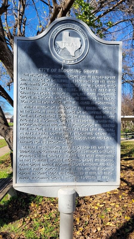
City of Blooming Grove
When a branch of the Cotton Belt Railroad opened in this area in 1888, the village of Gradyville shifted one mile northeast toward the rail line and became known as Blooming Grove. Its residents voted for incorporation in 1890, and T.J. Scarborough was elected first mayor, with T.H. Butcher as first city marshal always a rural community, Blooming Grove has depended heavily on its cotton production and cattle raising for its economic base.
Several institutions have provided the city with strength and continuity throughout its history. Churches founded in the Gradyville area that were maintained in this townsite include Blooming Grove Methodist. Olive Grove Baptist, Blooming Grove Christian, and First Baptist. Public schools began in 1869, and the Blooming Grove Masonic Lodge was chartered in 1888. The newpaper, "Blooming Grove Times" was founded in 1890.
Erected 1984 by Texas Historical Commission. (Marker Number 8277.)
Topics. This historical marker is listed in these topic lists: Agriculture • Churches & Religion • Railroads & Streetcars • Settlements & Settlers. A significant historical year for this entry is 1871.
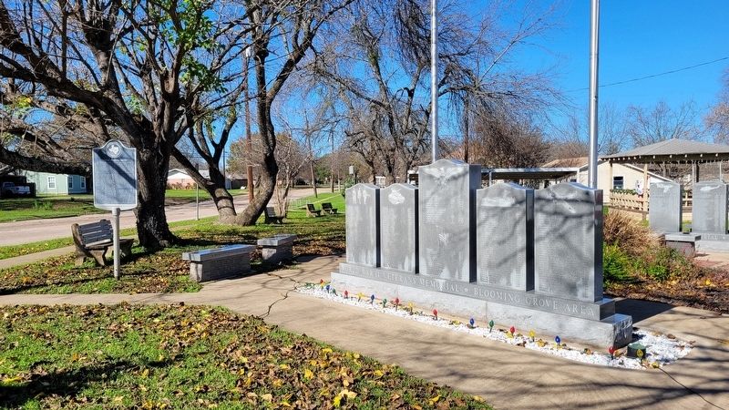
Location. 32° 5.584′ N, 96° 43.026′ W. Marker is in Blooming Grove, Texas, in Navarro County. Marker is at the intersection of North Fordyce Street and East South Main Street, on the left when traveling south on North Fordyce Street. The marker is located in the southern corner of the Doc Garrison City Park grounds. Touch for map. Marker is at or near this postal address: 101 North Fordyce Street, Blooming Grove TX 76626, United States of America. Touch for directions.
Other nearby markers. At least 8 other markers are within 6 miles of this marker, measured as the crow flies. Blooming Grove United Methodist Church (approx. 0.2 miles away); Site of University Training School-Central Texas College (approx. 0.4 miles away); Blooming Grove School (approx. 0.4 miles away); Barry Baptist Church (approx. 4.7 miles away); Barry (approx. 4.7 miles away); Dresden United Methodist Church (approx. 4.9 miles away); Dresden Cemetery (approx. 5 miles away); Frost Methodist Church (approx. 5.3 miles away). Touch for a list and map of all markers in Blooming Grove.
Also see . . . Blooming Grove, TX. Texas State Historical Association (Submitted on December 23, 2022, by James Hulse of Medina, Texas.)
Credits. This page was last revised on December 23, 2022. It was originally submitted on December 23, 2022, by James Hulse of Medina, Texas. This page has been viewed 100 times since then and 28 times this year. Photos: 1, 2. submitted on December 23, 2022, by James Hulse of Medina, Texas.

