La Crosse in La Crosse County, Wisconsin — The American Midwest (Great Lakes)
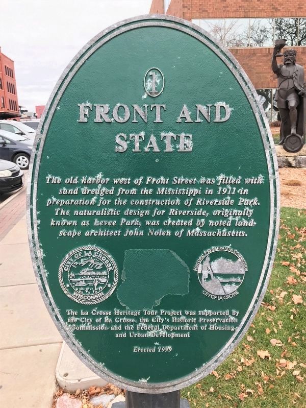
Front and State
— La Crosse Heritage Tour —
Erected 1999 by the City of La Crosse, the City's Historic Preservation Commission and the Federal Department of Housing and Urban Development. (Marker Number 1.)
Topics. This historical marker is listed in these topic lists: Architecture • Parks & Recreational Areas • Waterways & Vessels. A significant historical year for this entry is 1911.
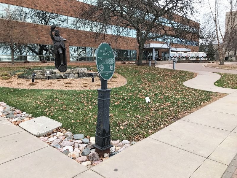
Location. 43° 48.882′ N, 91° 15.294′ W. Marker is in La Crosse, Wisconsin, in La Crosse County. Marker is at the intersection of Front Street North and State Street, on the right when traveling north on Front Street North. Touch for map. Marker is at or near this postal address: 100 Harborview Plaza, La Crosse WI 54601, United States of America. Touch for directions.
Other nearby markers. At least 8 other markers are within walking distance of this marker. Spence Park (a few steps from this marker); First Building in La Crosse (within shouting distance of this marker); La Crosse Players (about 500 feet away, measured in a direct line); 4th and Main (approx. ¼ mile away); Sidewheel Riverboat War Eagle (approx. ¼ mile away); The Cobbler Shop (approx. 0.4 miles away); Greek Revival House (circa 1850s) (approx. 0.4 miles away); Hanifl Market (approx. 0.4 miles away). Touch for a list and map of all markers in La Crosse.
Credits. This page was last revised on December 5, 2023. It was originally submitted on December 26, 2022. This page has been viewed 88 times since then and 12 times this year. Photos: 1, 2. submitted on December 26, 2022.

