Birmingham in Oakland County, Michigan — The American Midwest (Great Lakes)
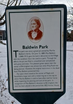
Baldwin Park
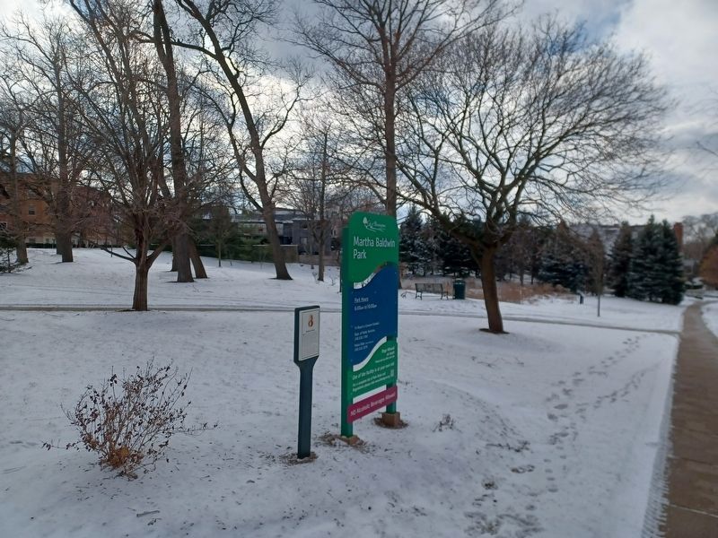
This park was once a gravel pit owned by Martha Baldwin's family. On June 15, 1889, Miss Baldwin (1840-1913) fave the land (1.66 acres) to the Village with the condition that it be used as a park. Through her efforts the pit was filled in, smoothed over and planted with grass and trees. This pleasant green space, near the center of Birmingham was almost lost when Ring Road was being planned. However, the original restrictions in the deed from Miss Baldwin prevented that.
For years there stood at the corner of Maple and Southfield a large rock with a metal ring set in the top to which Martha Baldwin is said to have often tied her horse while inspecting the planting and care of the park. In recognition of Miss Baldwin's devotion to Birmingham, the rock has been placed in the yard of the 1822 Hunter House.
Topics. This historical marker is listed in this topic list: Parks & Recreational Areas. A significant historical date for this entry is June 15, 1889.
Location. 42° 32.756′ N, 83° 13.257′ W. Marker is in Birmingham, Michigan, in Oakland County. Marker is on Maple Road west of Southfield Road, on the left when traveling west. Touch for map. Marker is at or near this postal address: 637 West Maple Road, Birmingham MI 48009, United States of America. Touch for directions.
Other nearby markers. At least 8 other markers are within walking distance of this marker. Allen House (about 400 feet away, measured in a direct line); John West Hunter Park (about 400 feet away); Hill Building Bell (about 400 feet away); The John W. Hunter House (about 500 feet away); Hunter House (about 500 feet away); Birmingham Mill (approx. ¼ mile away); City Hall (approx. ¼ mile away); Field Building (approx. 0.3 miles away). Touch for a list and map of all markers in Birmingham.
Credits. This page was last revised on December 28, 2022. It was originally submitted on December 28, 2022, by Joel Seewald of Madison Heights, Michigan. This page has been viewed 117 times since then and 25 times this year. Photos: 1, 2. submitted on December 28, 2022, by Joel Seewald of Madison Heights, Michigan.

