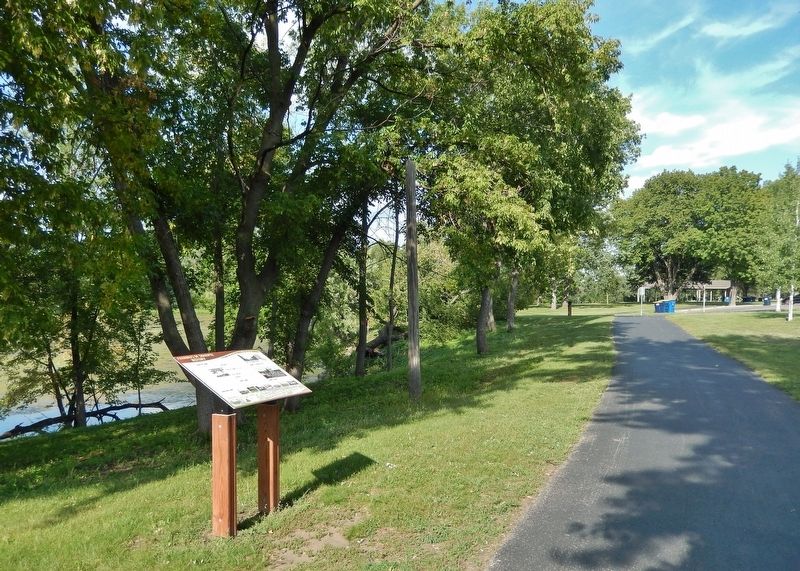
Shakopee in Scott County, Minnesota — The American Midwest (Upper Plains)
Powerful Names
Pathways of Shakopee History
— A self-guided tour on the development of the City of Shakopee —
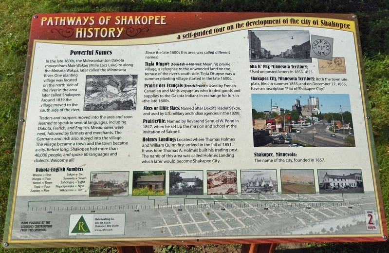
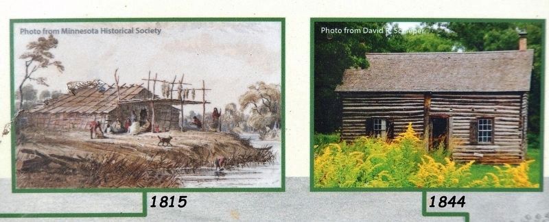
In the late 1600s, the Mdewankanton Dakota moved from Mde Wakaŋ (Mille Lacs Lake) to along the Mnisota Wakpa, later called the Minnesota River. One planting village was located on the north side of the river in the area later called Shakopee. Around 1839 the village moved to the south side of the river.
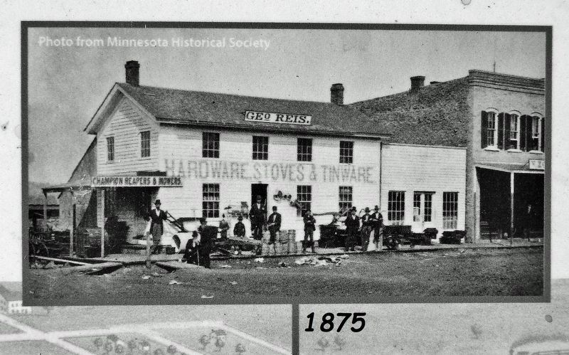
Traders and trappers moved into the area and soon learned to speak in several languages, including Dakota, French, and English. Missionaries were next, followed by farmers and merchants. The Germans and Irish also moved into the village. The village became a town and the town became a city. Before long, Shakopee had more than 40,000 people, and spoke 60 languages and dialects. Welcome all!
Since the late 1600s this area was called different names:
Tíŋta Otuŋwe (Teen-tah-o-ton-wa): Meaning prairie village, a reference to the unwooded land on the terrace of the river's south side. Tíŋta Otuŋwe was a summer planting village started in the late 1600s.
Prairie des Français (French Prairie): Used by French Canadian and Métis voyageurs who traded goods and supplies to the Dakota Indians in exchange for furs in the late 1600s.
Sixes or Little Sixes: Named after Dakota leader Sakpe, and used by U.S. military and Indian agencies in the 1820s.
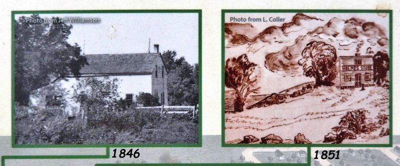
Prairieville: Named by Reverend Samuel W. Pond in 1847, when he set up the mission and school at the invitation of Sakpe II.
Holmes Landing: Located where Thomas Holmes and William Quinn first arrived in the fall of 1851. It was here Thomas A. Holmes built his trading post. The name of this area was called Holmes Landing which later would become Shakapee City.
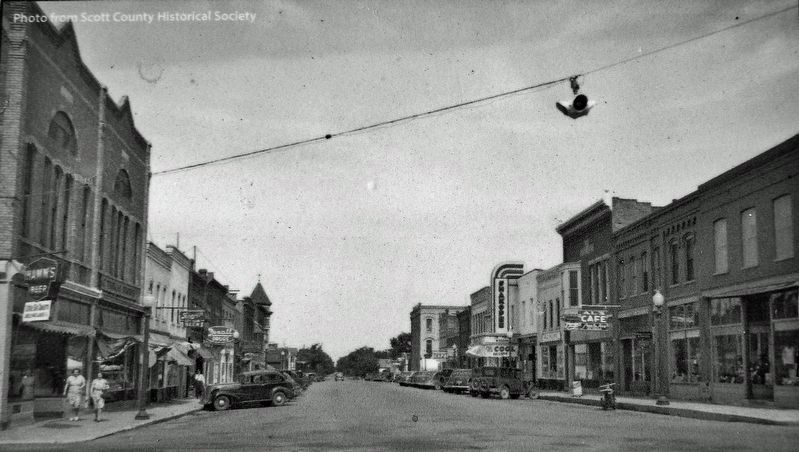
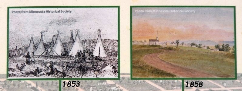
Sha K’ Pay, Minnesota Territory: Used on posted letters in 1853-1855.
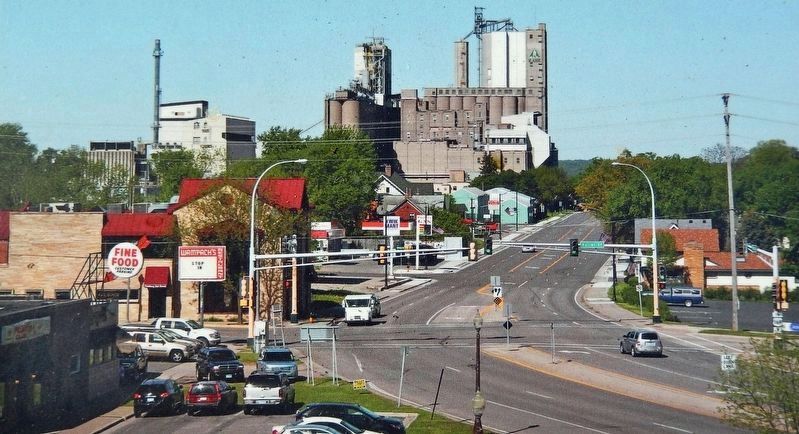
Shakapee City, Minnesota Territory: Both the town site plats, filed in summer 1855, and on December 27, 1855, have an inscription "Plat of Shakapee City."
Shakopee, Minnesota: The name of the city, founded in 1857.
Erected by Pathways of Shakopee History; and Rahr Malting Company. (Marker Number 2.)
Topics. This historical marker is listed in these topic lists: Immigration • Industry & Commerce • Native Americans • Settlements & Settlers. A significant historical year for this entry is 1857.
Location. 44° 48.108′ N, 93° 30.23′ W. Marker is in Shakopee, Minnesota, in Scott County. Marker can be reached from the intersection of County Road 101 (Business U.S. 169) and Sarazin Street, on the right when traveling west. Marker is located along the Pathways of Shakopee History Trail, which begins near the west end of Memorial Park. Touch for map. Marker is at or near this postal address: 1801 County Road 101, Shakopee MN 55379, United States of America. Touch for directions.
Other nearby markers. At least 8 other markers are within walking distance of this marker. Rollin' Down the River 1842 (within shouting distance of this marker); What Once Was (within shouting distance of this marker); On The River Bottoms (within shouting distance of this marker); Betting, Booze & Speakeasies • 1920-1940 (within shouting distance of this marker); Pond Mission (within shouting distance of this marker); Stagecoaches to Shakopee (about 300 feet away, measured in a direct line); The Railroad to Shakopee 1865 (about 400 feet away); The Springs (about 400 feet away). Touch for a list and map of all markers in Shakopee.
Related markers. Click here for a list of markers that are related to this marker. Pathways of Shakopee History Trail
Also see . . . History of Shakopee.
Located in the lower Minnesota River Valley, Shakopee has been home to Native Americans for thousands of years. Burial mounds in Memorial Park date back approximately 2,000 years. At the time of the first European settlers, Dakota Indians inhabited the valley. Chief Sakpe I settled his tribe along the river banks in the 1700s; his village was called Tinta Otunwe, “village of the prairies,” and located east of Shakopee’s present downtown. In 1851, with the Treaties of Mendota and Traverse des Sioux, the area was opened to pioneer settlement. Thomas A. Holmes, known as “the father of Shakopee,” established a trading post near the Tinta Otunwe village. In 1854, Holmes platted Shakopay Village, naming it after the leader of the Dakota band, Chief Sakpe II. Shakopee was incorporated as a city on May 23, 1857.(Submitted on December 29, 2022, by Cosmos Mariner of Cape Canaveral, Florida.)
Credits. This page was last revised on December 30, 2022. It was originally submitted on December 28, 2022, by Cosmos Mariner of Cape Canaveral, Florida. This page has been viewed 198 times since then and 55 times this year. Photos: 1, 2, 3, 4, 5, 6, 7, 8, 9. submitted on December 29, 2022, by Cosmos Mariner of Cape Canaveral, Florida.
