
Cape Lookout in Carteret County, North Carolina — The American South (South Atlantic)
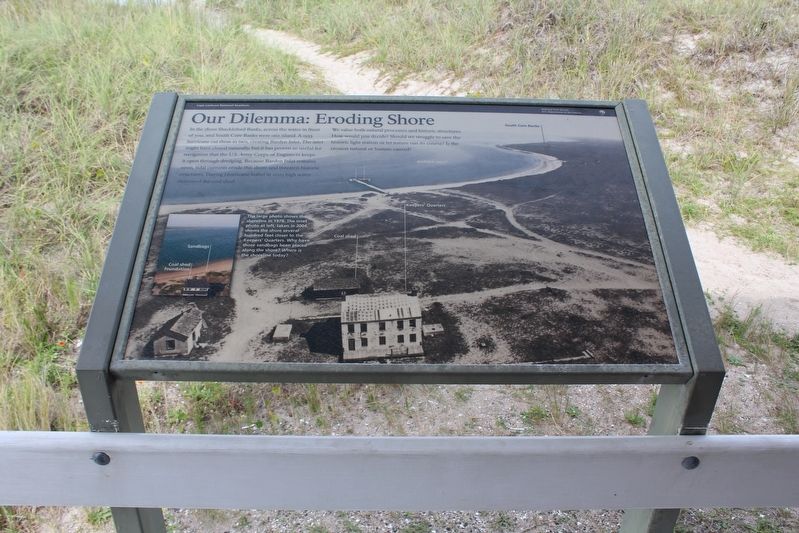
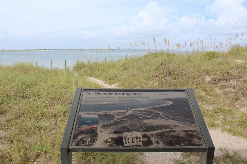
Our Dilemma: Eroding Shore
| — | Cape Lookout National Seashore | — |
Photographed by Tom Bosse, September 21, 2021
1. Our Dilemma: Eroding Shore Marker
We value both natural processes and historic structures. How would you decide? Should we struggle to save the historic light station or let nature run its course? Is the erosion natural or human caused?
(caption) The large photo shows the shoreline in 1978. The inset photo at left, taken in 2004, shows the shore several hundred feet closer to the Keeper’s Quarters. Why have those sandbags been placed along the shore? Where is the shoreline today?
Erected by National Park Service, U.S. Department of the Interior.
Topics. This historical marker is listed in this topic list: Environment. A significant historical year for this entry is 1933.
Location. 34° 37.449′ N,
this page online

Regionally, this marker is in North Carolina’s Coastal Plain and on the Crystal Coast. It is also in the American South, specifically in the Upper South, in the Tidewater, and on the Eastern Seaboard. Globally, it is in the North Atlantic Region, North America, the Western Hemisphere, the Western World, and the Anglosphere. Historically, it finds itself in what was once the territory of the Mississippian Culture, one of the original Thirteen Colonies, one of the Confederate States of America, and the Antebellum South.
Other nearby markers. At least 8 other markers are within 5 miles of this marker, measured as the crow flies: Keep the Light Lit (about 400 feet away, measured in a direct line); More Than a Lighthouse
Photographed by Tom Bosse, September 21, 2021
2. Our Dilemma: Eroding Shore Marker
Another marker is no longer nearby. Cape Lookout Lighthouse (was approx. 4.2 miles away but has been confirmed missing).

Photographed by Tom Bosse, September 21, 2021
3. Cape Lookout Lighthouse Keeper's Quarters.
Back of marker can be seen in front of the Keeper's Quarters.
Credits. This page was last revised on December 29, 2022. It was originally submitted on December 28, 2022, by Tom Bosse of Jefferson City, Tennessee. This page has been viewed 174 times since then and 12 times this year. Photos: 1, 2, 3. submitted on December 28, 2022, by Tom Bosse of Jefferson City, Tennessee. • Bernard Fisher was the editor who published this page.
