Shakopee in Scott County, Minnesota — The American Midwest (Upper Plains)
Betting, Booze & Speakeasies • 1920-1940
Pathways of Shakopee History
| — | A self-guided tour on the development of the City of Shakopee | — |
Photographed by Cosmos Mariner, September 2, 2022
1. Betting, Booze & Speakeasies • 1920-1940 Marker
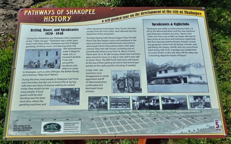
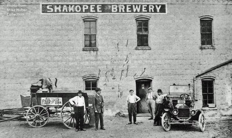
During the Prohibition era, Shakopee had a reputation as the "Little Chicago." "Shakopee was a wide-open town!" said Hilary Drees. Shakopee was full of illegal gambling, drinking, music, and dancing when the 18th Amendment made it illegal to make, sell, or transport alcohol. It was not unusual for hoodlums and villains to come to Shakopee, such as John Dillinger, the Barker family, and notorious "Baby Face" Nelson.
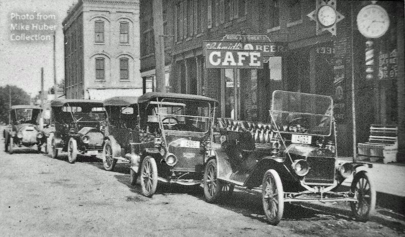
During this time, most people in Shakopee had Fords and Chevrolets, but the cars in front of Rock Spring Café were very fancy. If anyone walking by looked inside, they would not see many people. A local guard could be seen standing near the basement door, where the gambling machines and other equipment were kept. Only "secret clientele," usually from the Twin Cities, were allowed into the basement of the restaurant.
The Rock Spring Café, Riviera Supper Club, The Mill Pond Club (the largest casino and speakeasy in the area) and other local establishments had runners who would inform these places when raids were coming. They had safe houses, including one on Sommerville Street across from St. Mary's School. There
this page online
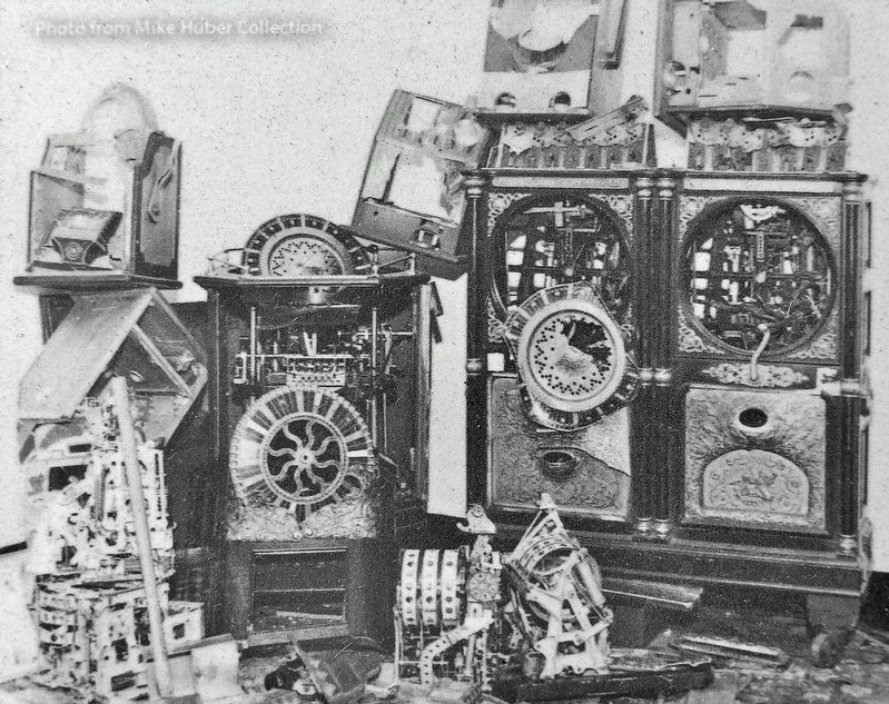
In late 1941, slot machines soon disappeared as newly appointed sheriff J.P. Wermerskirchen confiscated and destroyed many of them.
Speakeasies & Nightclubs
"Shakopee was really a community by itself, cut off by the Minnesota River and the river bottoms" said Shakopee resident Joe Jenn. "Back in the 1930s, the town was a little Las Vegas. We had 33 beer joints at one time and notorious nightclubs like Rock Springs and the Riviera. People, including gangsters, came here for booze, women, and gambling; the mayor, sheriff, and city councilmen went along with it all. A garage was established on Lewis Street. In the rear door off the alley was a receiving depot for boxes of liquor."
Erected by Pathways of Shakopee History; and Canterbury Commons/Canterbury Park. (Marker Number 5.)
Topics. This historical marker is listed in these topic lists: Entertainment • Industry & Commerce
Mike Huber Collection
2. Marker detail: Shakopee Brewery
Location. 44° 48.09′ N, 93° 30.284′ W. Marker is in Shakopee, Minnesota, in Scott County. It can be reached from the intersection of County Road 101 (Business U.S. 169) and Sarazin Street, on the right when traveling west. Marker is located along the Pathways of Shakopee History Trail, which begins near the west end of Memorial Park. Touch for map. Marker is at or near this postal address: 1801 County Road 101, Shakopee MN 55379, United States of America. Touch for directions.

Regionally, this marker is in the Minnesota River Valley and in the Twin Cities Metropolitan Area. It is also in the American Midwest and in the Corn Belt. Globally, it is in North America, the Western Hemisphere, the Western World, and the Anglosphere. Historically, it finds itself in what was once Rupert’s Land, the territory of the Mississippian Culture, and the Louisiana Purchase.
Other nearby markers. At least 8 other markers are within walking distance of this marker: On the River Bottoms (within shouting distance of this marker); Stagecoaches to Shakopee (within shouting
Mike Huber Collection
3. Marker detail: Shakopee
Related markers. Click here for a list of markers that are related to this marker. Pathways of Shakopee History Trail
Also see . . . 1920s-30s: Little Chicago and Money Mischief. Shakopee Through The Years website entry (Submitted on June 14, 2025, by Larry Gertner of New York, New York.)
Mike Huber Collection
4. Marker detail: Busted Slot Machines
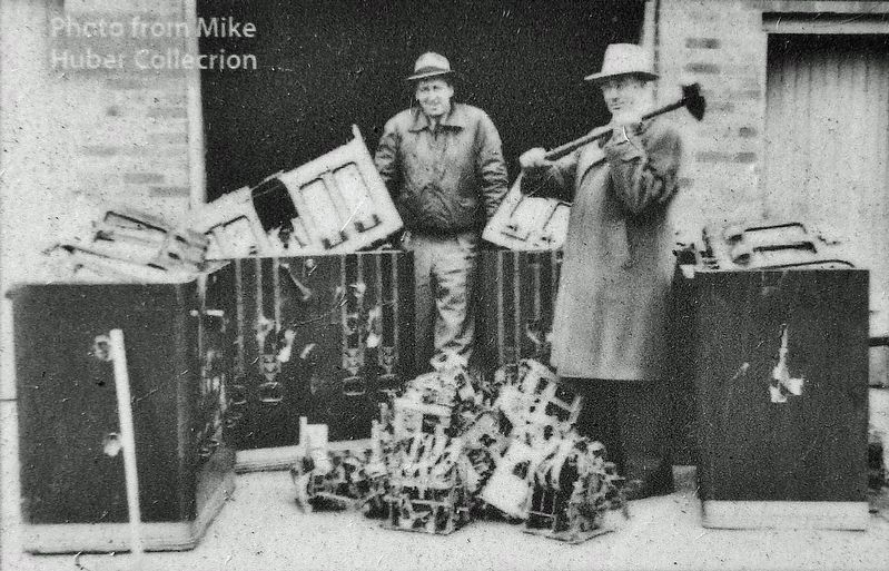
Mike Huber Collection
5. Marker detail: Busted Slot Machines • 1942
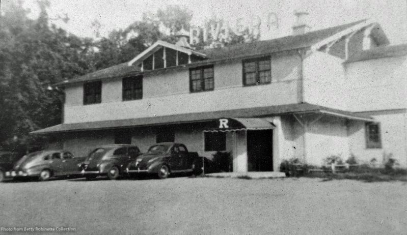
Betty Robinette Collection
6. Marker detail: Riviera Supper Club
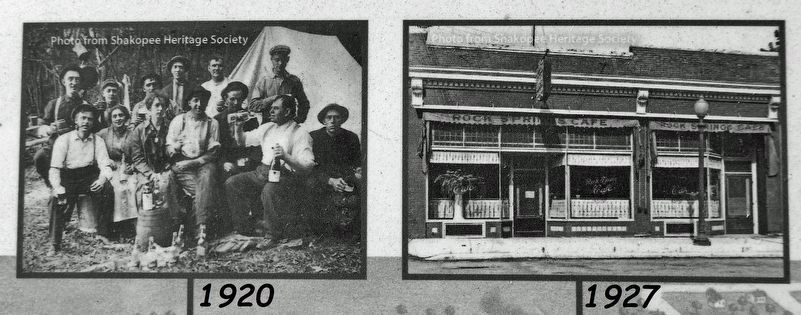
7. Marker detail: Timeline Photos
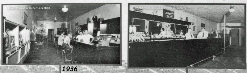
8. Marker detail: Timeline Photos
Photographed by Cosmos Mariner, circa September 2, 2022
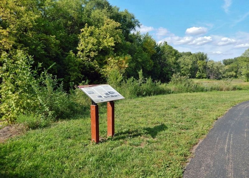
9. Betting, Booze & Speakeasies • 1920-1940 Marker
Credits. This page was last revised on June 14, 2025. It was originally submitted on December 28, 2022, by Cosmos Mariner of Cape Canaveral, Florida. This page has been viewed 1,251 times since then and 159 times this year. Photos: 1. submitted on December 29, 2022, by Cosmos Mariner of Cape Canaveral, Florida. 2, 3, 4, 5, 6, 7, 8. submitted on December 30, 2022, by Cosmos Mariner of Cape Canaveral, Florida. 9. submitted on December 29, 2022, by Cosmos Mariner of Cape Canaveral, Florida.
