Schererville in Lake County, Indiana — The American Midwest (Great Lakes)
The Lincoln Highway
⎯⎯⎯
The "Ideal Section"
Approximate Eastern-extent of the 1.5 mile long "Ideal Section"
Photographed by Lou Donkle, circa November 12, 2022
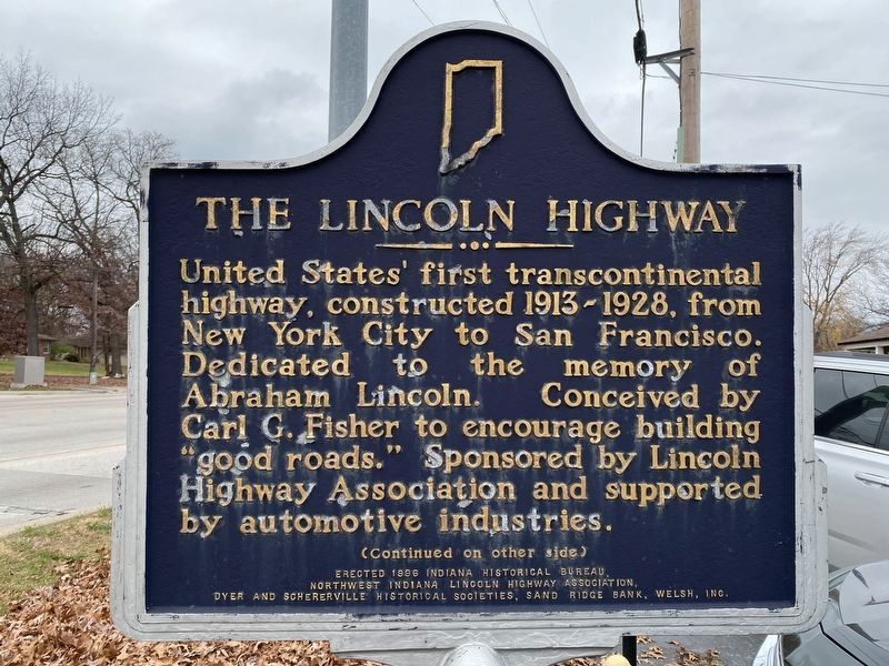
1. The Lincoln Highway side of the marker
The Lincoln Highway. United States' first transcontinental highway, constructed 1913-1928, from New York City to San Francisco. Dedicated to the memory of Abraham Lincoln. Conceived by Carl G. Fisher to encourage building "good roads." Sponsored by Lincoln Highway Association and supported by automotive industries.
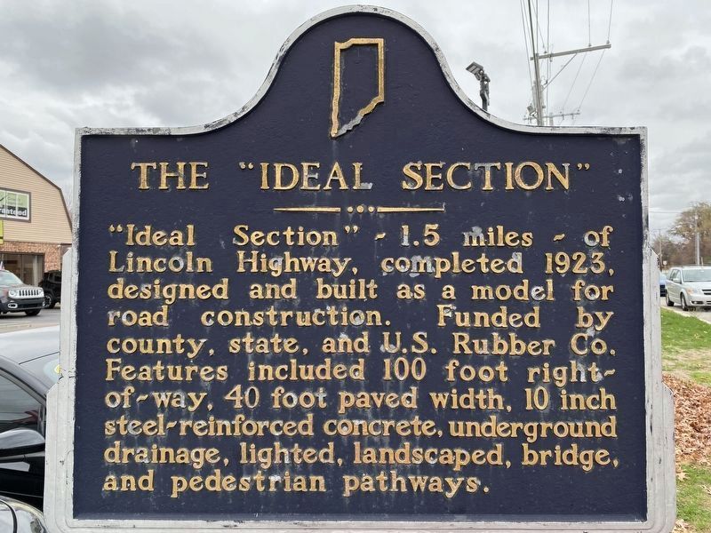
The "Ideal Section". "Ideal Section" - 1.5 miles - of Lincoln Highway, completed 1923, designed and built as a model for road construction. Funded by county, state, and U.S. Rubber Co. Features included 100 foot right-of-way, 40 foot paved width, 10 inch steel-reinforced concrete, underground drainage, lighted, landscaped, bridge, and pedestrian pathways.
Erected 1996 by Indiana Historical Bureau, Northwest Indiana Lincoln Highway Association, Dyer and Schererville Historical Societies, Sand Ridge Bank, Welsh, Inc. (Marker Number 45.1996.1.)
Topics and series. This historical marker is listed in these topic lists: Charity & Public Work • Industry & Commerce • Roads & Vehicles. In addition, it is included in the Indiana Historical Bureau Markers, and the Lincoln Highway series lists. A significant historical year for this entry is 1923.
Location. 41° 29.46′ N,
this page online

Regionally, this marker is in Northwest Indiana and in the Calumet Region. It is also in the American Midwest and in the Corn Belt. Globally, it is in North America, on the Great Lakes, in the Western Hemisphere, in the Western World, and in the Anglosphere. Historically, it finds itself in what was once the territory of the Mississippian Culture and also the Northwest Territory.
Other nearby markers. At least 8 other markers are within 2 miles of this marker, measured as the crow flies: Lincoln Highway - Ideal Section - 1923 (within shouting distance of this marker); St. John Township School District #2 (approx. 0.4 miles away); The Lincoln Highway (approx. 0.7 miles away); a different marker also named The Lincoln Highway (approx. 0.8
Photographed by Lou Donkle, circa November 12, 2022
2. The "Ideal Section" side of the marker
This marker designates the approximate Eastern-extent of the "Ideal Section".
More about this marker. This marker designates the approximate Eastern extent of the "Ideal Section". A duplicate marker designates the approximate Western-extent of the "Ideal Section" about 1.5 miles to the west.
Photographed by Lou Donkle, circa November 12, 2022
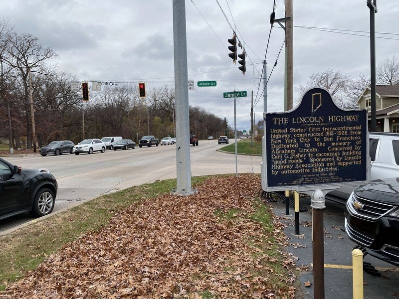
3. Marker on southeast corner of US-30 and Janice Drive
Photographed by Lou Donkle, circa November 12, 2022
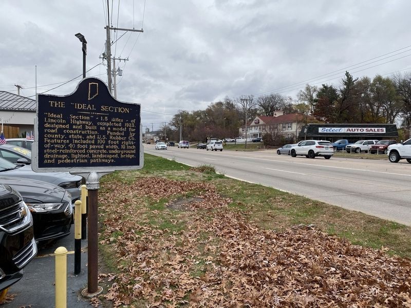
4. View of marker while facing east
Credits. This page was last revised on December 29, 2022. It was originally submitted on December 29, 2022, by Lou Donkle of Valparaiso, Indiana. This page has been viewed 466 times since then and 48 times this year. Photos: 1, 2, 3, 4. submitted on December 29, 2022, by Lou Donkle of Valparaiso, Indiana. • Devry Becker Jones was the editor who published this page.
