Southwest Waterfront in Southwest Washington in Washington, District of Columbia — The American Northeast (Mid-Atlantic)
History of SW / Buzzard Point
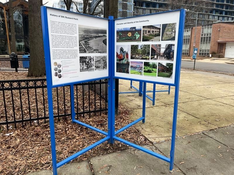
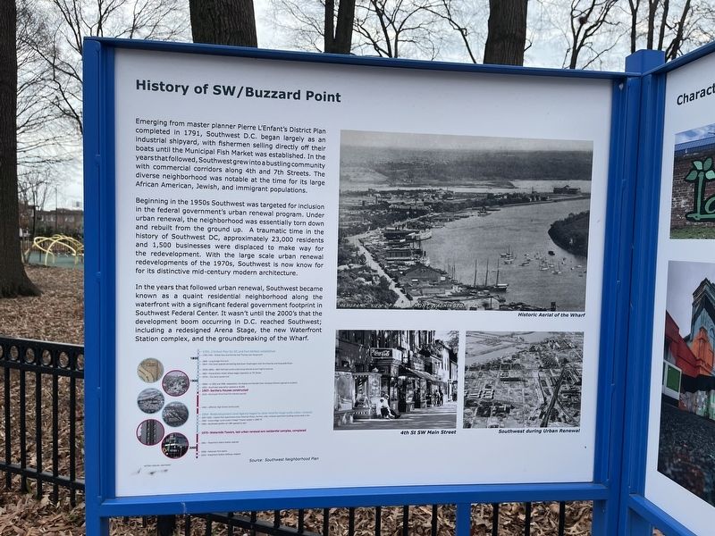
Emerging from master planner Pierre L'Enfant's District Plan completed in 1791, Southwest D.C. began largely as an industrial shipyard, with fishermen selling directly off their boats until the Municipal Fish Market was established. In the years that followed, Southwest grew into a bustling community with commercial corridors along 4th and 7th Streets. The diverse neighborhood was notable at the time for its large African American, Jewish, and immigrant populations.
Beginning in the 1950s Southwest was targeted for inclusion in the federal government's urban renewal program. Under urban renewal, the neighborhood was essentially torn down and rebuilt from the ground up. A traumatic time in the history of Southwest DC, approximately 23,000 residents and 1,500 businesses were displaced to make way for the redevelopment. With the large scale urban renewal redevelopments of the 1970s, Southwest is now known for its distinctive mid-century modern architecture.
In the years that followed urban renewal, Southwest became known as a quaint residential neighborhood along the waterfront with a significant federal government footprint in Southwest Federal Center. It wasn't until the 2000's that the development boom occurring in D.C. reached Southwest; including a redesigned Arena Stage, the new Waterfront Station complex, and the groundbreaking of the Wharf.
[Timeline:]
1791 L'Enfant Plan for DC and Fort McNair established.
1793-1794 Wheat Row townhomes and Thomas Law House built.
1800
1808 Long Bridge first built.
1815 City Canal opened connecting downtown Washington with the Potomac and Anacostia Rivers.
1850s-1860s B&O Railroad constructed along Maryland and Virginia Avenues.
1862 Horse-drawn street railway began operation on 7th Street.
1870s City Canal paved over.
1900
1900s In 1902 and 1906, respectively the Syphax and Randall (then Cardozo) Schools opened to students.
1905 Southwest population peaked at 35,000.
1907 Sanitary Houses constructed.
1918 Municipal Wharf and Fish market opened.
1940 Jefferson High School constructed.
1954 Redevelopment Land Agency began to clear land for large-scale urban renewal.
1957-1959 Capitol Park Apartments (now Potomac Place), the first urban renewal apartment building constructed in SW. 1963 Southwest portion of I-395 opened to cars.
1970 Waterside Towers, last urban renewal-era residential complex, completed.
1991 Waterfront Metro Stationopeend.
2000
2008 Nationals Park opens.
2010 Waterfront Station Safeway reopens.Source: Southwest Neighborhood Plan
Topics. This historical marker is listed in these topic lists: African Americans • Architecture • Government & Politics • Immigration • Industry & Commerce • Settlements & Settlers • Waterways & Vessels. A significant historical year for this entry is 1791.
Location. 38° 52.608′ N, 77° 1.204′ W. Marker is in Southwest Washington in Washington, District of Columbia. It is in Southwest Waterfront. Marker is at the intersection of 6th Street Southwest and Maine Avenue Southwest, on the right when traveling south on 6th Street Southwest. Touch for map. Marker is at or near this postal address: 1130 6th St SW, Washington DC 20024, United States of America. Touch for directions.
Other nearby markers. At least 8 other markers are within walking distance of this marker. New Town in the City (a few steps from this marker); James Creek (within shouting distance of this marker); Urban Renewal (within shouting distance of this marker); Wharves and Piers (within shouting distance of this marker); Jackie Kennedy (about 300 feet away, measured in a direct line); Thomas Law (about 400 feet away); Civil War (about 400 feet away); Elvis Presley (about 400 feet away). Touch for a list and map of all markers in Southwest Washington.
Additional commentary.
1. About Nationals Park
While Nationals Park's opening affected the development of the Southwest Waterfront, it is actually in neighboring the Navy Yard neighborhood in Southeast DC.
— Submitted January 2, 2023, by Devry Becker Jones of Washington, District of Columbia.

Photographed By Devry Becker Jones (CC0), January 2, 2023
4. History of SW / Buzzard Point Marker
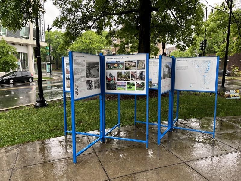
This is the marker in its former context in front of the Southwest Library.
Credits. This page was last revised on April 30, 2023. It was originally submitted on January 2, 2023, by Devry Becker Jones of Washington, District of Columbia. This page has been viewed 82 times since then and 14 times this year. Photos: 1, 2. submitted on January 2, 2023, by Devry Becker Jones of Washington, District of Columbia. 3. submitted on April 30, 2023, by Devry Becker Jones of Washington, District of Columbia. 4. submitted on January 2, 2023, by Devry Becker Jones of Washington, District of Columbia.

![Project Area Map [Marker reverse]. Click for full size. Project Area Map [Marker reverse] image. Click for full size.](Photos6/698/Photo698284.jpg?12202324800PM)
