Greilickville in Leelanau County, Michigan — The American Midwest (Great Lakes)
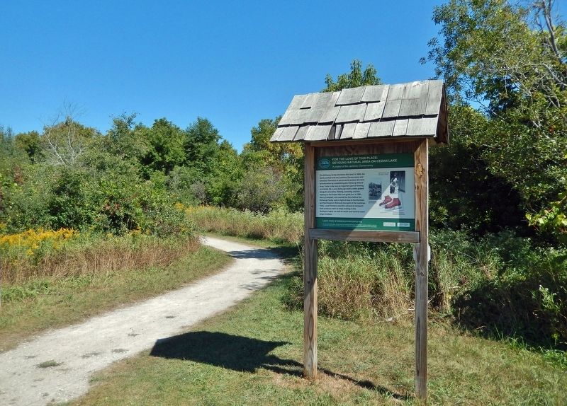
For the Love of this Place: DeYoung Natural Area on Cedar Lake
A project of the Leelanau Conservancy
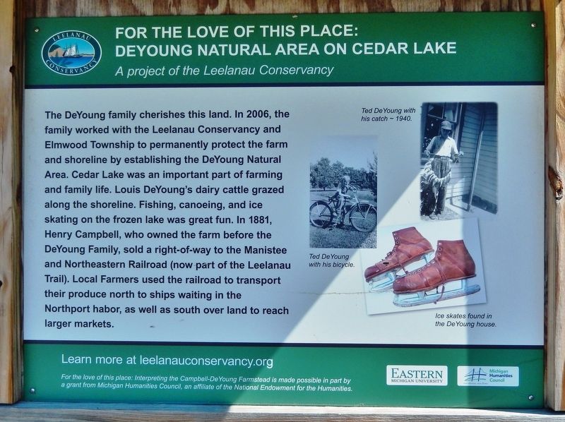
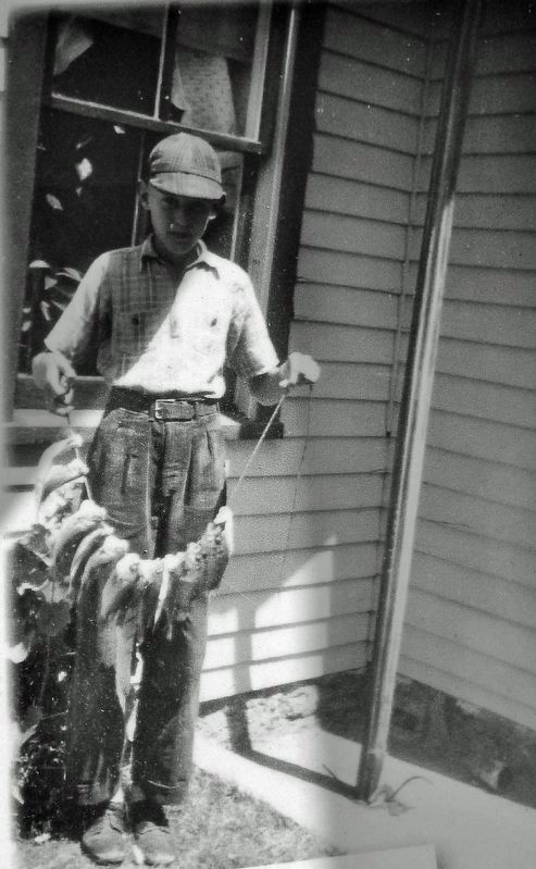
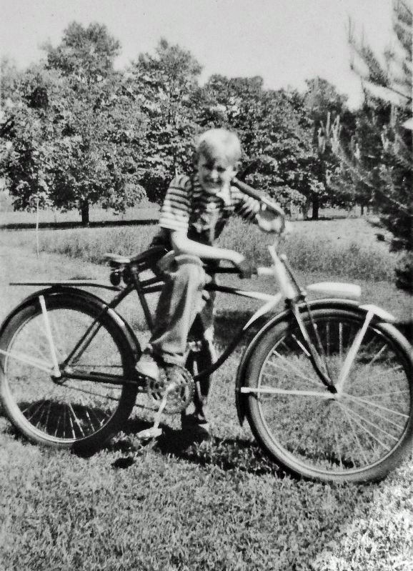
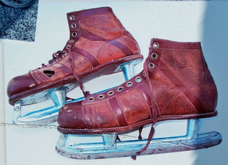
The DeYoung family cherishes this land. In 2006, the family worked with the Leelanau Conservancy and Elmwood Township to permanently protect the farm and shoreline by establishing the DeYoung Natural Area. Cedar Lake was an important part of farming and family life. Louis DeYoung's dairy cattle grazed along the shoreline. Fishing, canoeing, and ice skating on the frozen lake was great fun. In 1881, Henry Campbell, who owned the farm before the DeYoung Family, sold a right-of-way to the Manistee and Northeastern Railroad (now part of the Leelanau Trail). Local Farmers used the railroad to transport their produce north to ships waiting in the Northport harbor, as well as south over land to reach larger markets.
Erected by Leelanau Conservancy; Eastern Michigan University; and Michigan Humanities Council.
Topics. This historical marker is listed in these topic lists: Agriculture • Parks & Recreational Areas • Railroads & Streetcars • Settlements & Settlers. A significant historical year for this entry is 1881.
Location. 44° 48.558′ N, 85° 39.17′ W. Marker is in Greilickville, Michigan, in Leelanau County. Marker can be reached from East Cherry Bend Road (County Road 633) 0.3 miles north of East Breithaupt Road, on the right when traveling north. Marker and kiosk are located on the Leelanau Trail, just east of the DeYoung Natural Area farmstead. Touch for map. Marker is at or near this postal address: 9509 East Cherry Bend Road, Traverse City MI 49684, United States of America. Touch for directions.
Other nearby markers. At least 8 other markers are within 4 miles of this marker, measured as the crow flies. For the Love of this Place: DeYoung Natural Area Farmstead (within shouting distance of this marker); Greilickville (approx. 1.7 miles away); The J.E. Greilick Factory (approx. 2.9 miles away); Second Industrial Revolution (approx. 2.9 miles away); Korean War Memorial (approx. 3.1 miles away); Friends Meetinghouse (approx. 3.4 miles away); Hannah and Lay Mercantile Building (approx. 3.4 miles away); City Opera House (approx. 3.4 miles away).
Related markers. Click here for a list of markers that are related to this marker. DeYoung Natural Area
Also see . . .
1. DeYoung Natural Area on Cedar Lake.
The land became available when Louis DeYoung, Sr. passed away at the age of 104. His son, Ted, said it was his father’s dream to see the land forever preserved. A Universal Access trail (.5 mile) leads to Cedar Lake fishing/viewing pier with sweeping views of Cedar Lake. You can reach it via the Leelanau Trail or by parking in the lot near the large, lower barn off Cherry Bend Road. This beautiful trail meanders through dense ancient cedars and across an open field.(Submitted on January 2, 2023, by Cosmos Mariner of Cape Canaveral, Florida.)
2. Manistee and North-Eastern Railroad.
The M&NE was a short, standard-gauge line organized in 1887. It served several counties in the northwestern quarter of Michigan's Lower Peninsula in the late 19th and early 20th centuries. The railroad's main line stretched from Manistee to Traverse City, with a spur line to Northport leased from the Leelanau Transit Company. The line was originally built to help exploit the old-growth timber resources of its service area. Logs were carried to mills in Manistee. The railroad also attempted to develop a sideline as a hauler of potatoes, orchard fruit, and grain. A section of the short railroad's right-of-way is now in use as the Leelanau Trail.(Submitted on January 2, 2023, by Cosmos Mariner of Cape Canaveral, Florida.)
Credits. This page was last revised on January 2, 2023. It was originally submitted on January 2, 2023, by Cosmos Mariner of Cape Canaveral, Florida. This page has been viewed 71 times since then and 10 times this year. Photos: 1, 2, 3, 4, 5. submitted on January 2, 2023, by Cosmos Mariner of Cape Canaveral, Florida.
